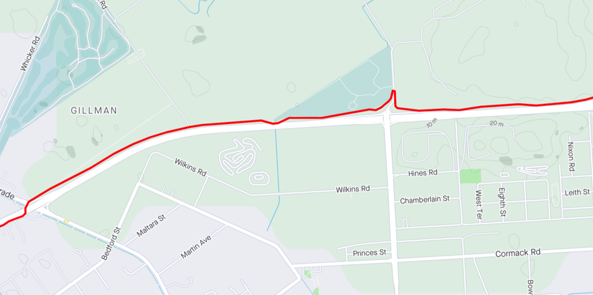
Port Adelaide to Gawler
via Tapa Martinthi Yala and Stuart O'Grady Bikeway
A friend in Semaphore had suggested that he would be interested in riding to Gawler once the Gawler train line was running again, and thus giving him an emergency escape route. I was going to just give him some tips based on my rides along that route but then I thought I might as well write it up in case it was useful to anyone else.
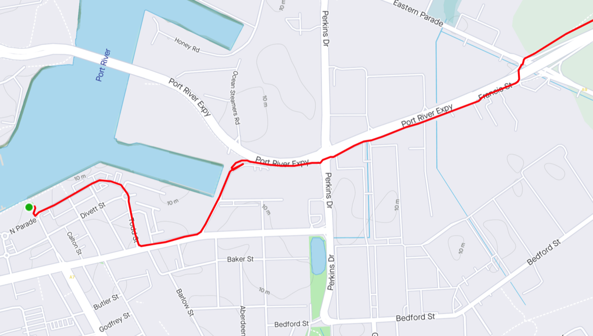
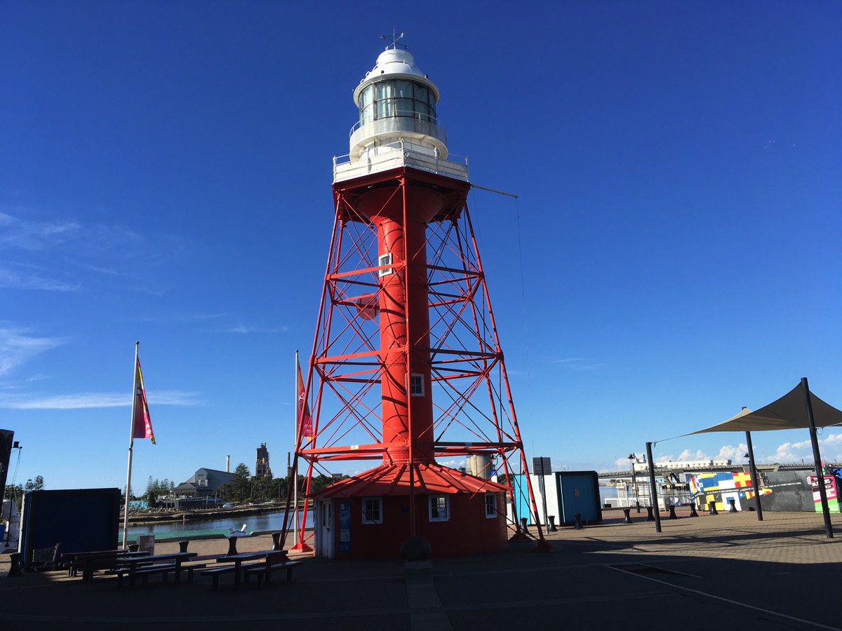
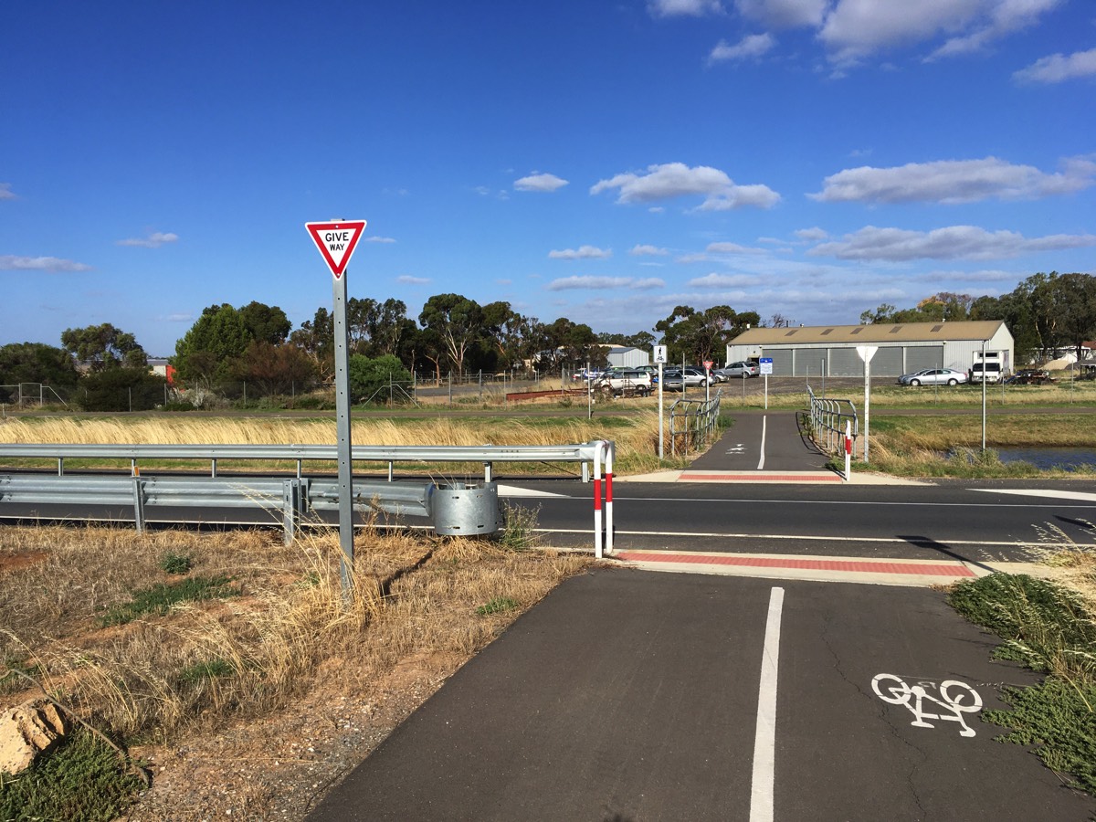
There are multiple options but I'll concentrate on the ones that mainly utilise the bikeway/shared paths as they are relatively relaxing, and you've got to be a little crazy to ride Main North Road. The obvious place to start, at least to me, is the Port Adelaide Lighthouse. If you are actually riding from Semaphore you could avoid coming into the centre of Port Adelaide by riding along Semaphore Road and then use the shared path to cross Tom 'Diver' Derrick bridge.
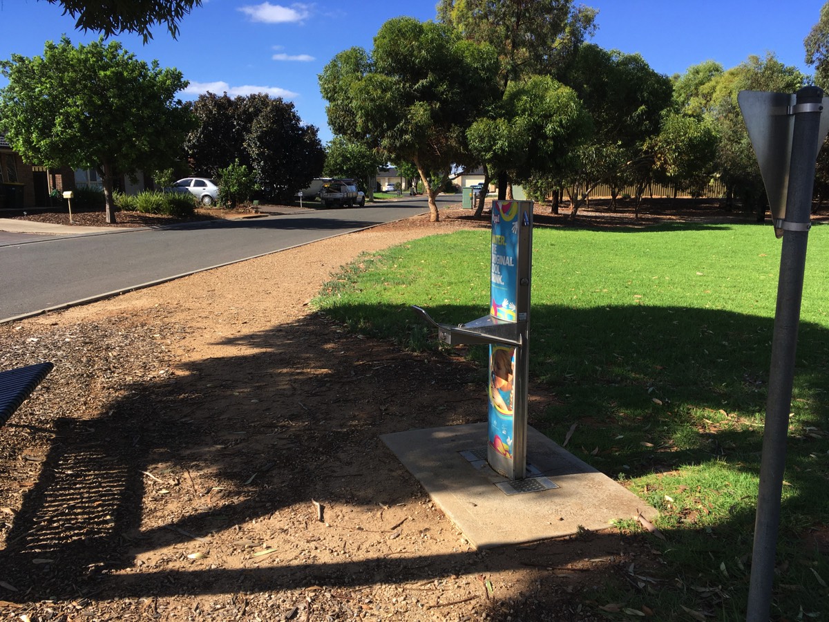
Note: There are very few opportunities to fill a bidon on this route so make sure you have enough water when you start off, there is a fountain in Lipson Street.
Port Adelaide to the Port River Expressway
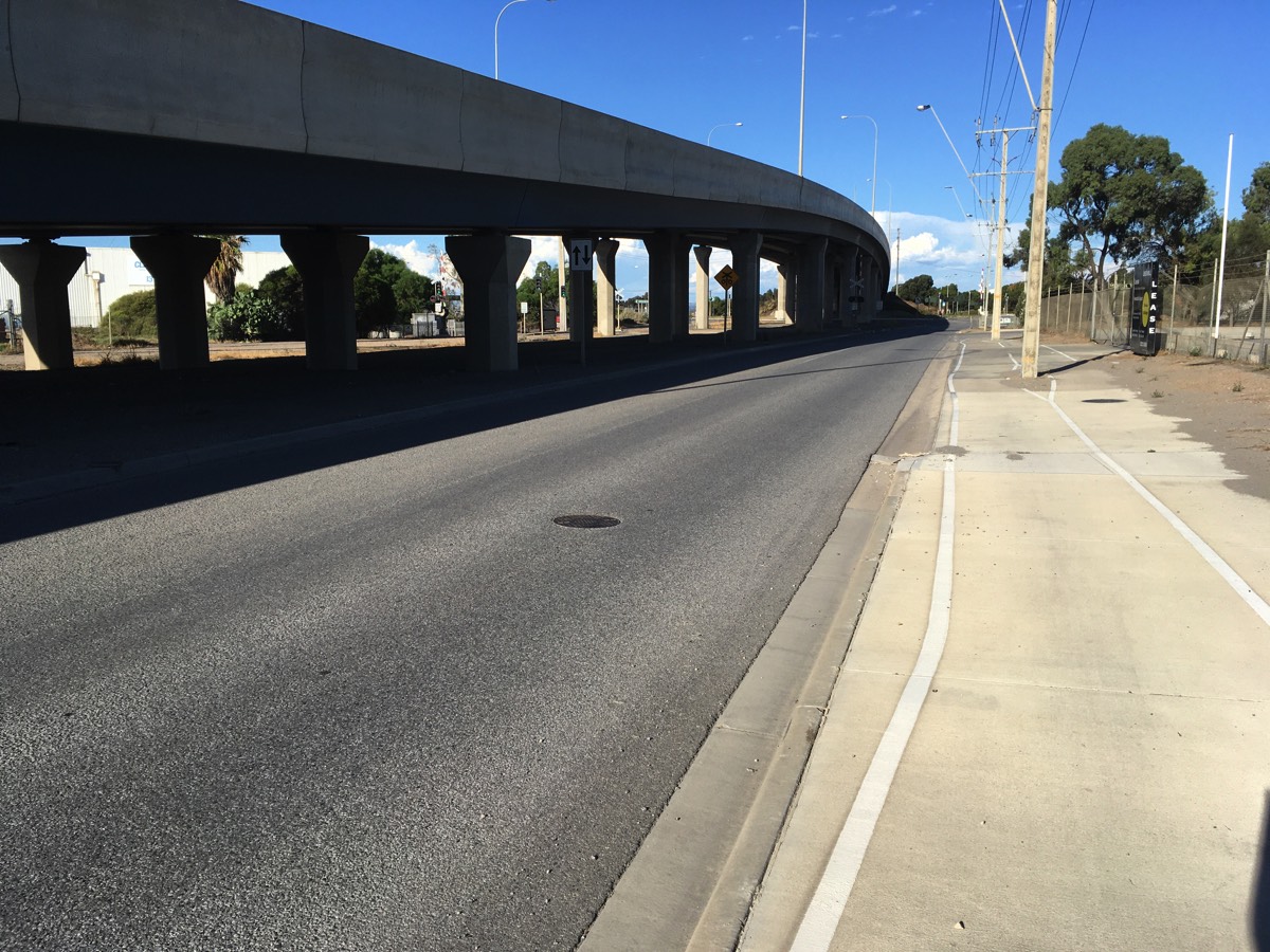
I usually just ride down Todd Street and the head east along St Vincent Street and then turn left onto Perkins Drive. One day it might be possible to ride along the wharf to Wauwa Street but not yet. If you go up Wauwa Street then you need to go across the dirt to connect to the shared path just after the approach to Tom 'Diver' Derrick bridge, the tarmac road doesn't connect to it sadly.
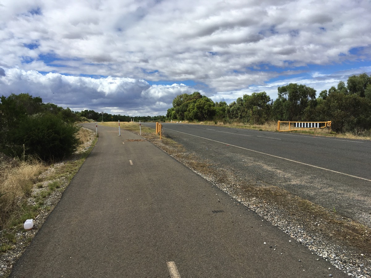
At the intersection of Perkins Drive and the Port River Expressway you could cross the intersection and make a right turn onto it and ride down to the slip road before the bridge over the railway line and to Eastern Parade but it's better to cross with the pedestrian lights and follow the shared path. Lots of green segments where driveways cross the path though. At the Eastern Parade bridge the southern slip road becomes two way before the railway line and rather than negotiate the pedestrian maze and continue on that path escape to the road and follow it under the bridge.
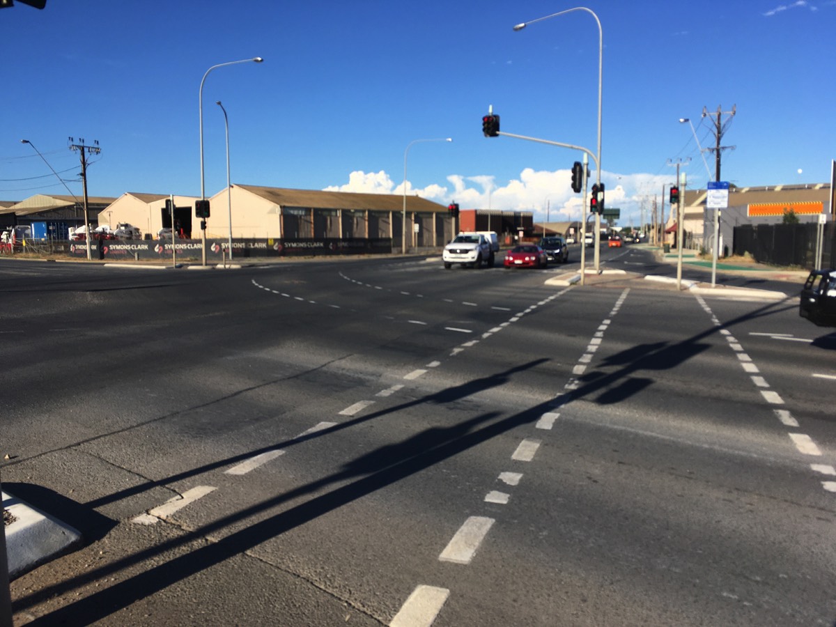
Waiting to cross Perkins Drive
Time to escape the path and ride on the road for a bit, it goes under the bridge after the railway line
Port River Bikeway
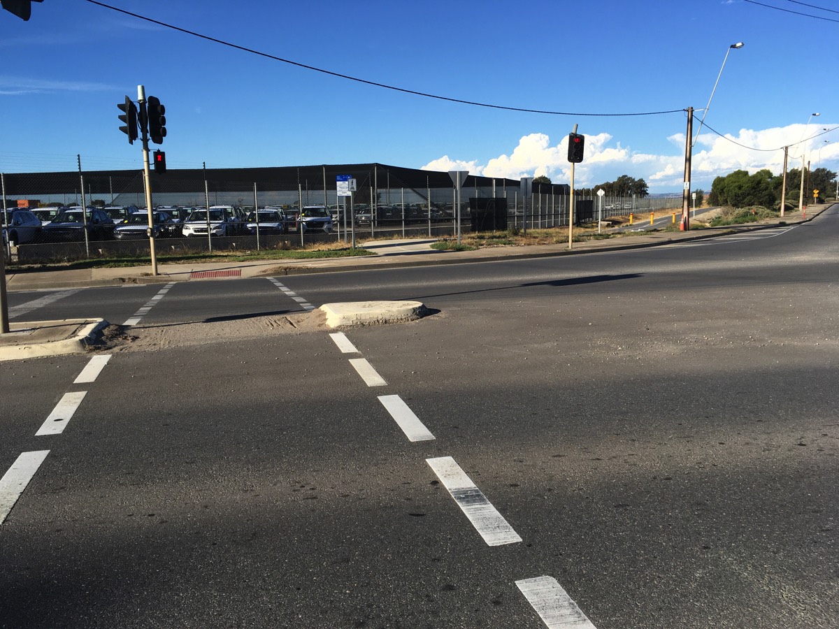
At the traffic lights with Eastern Parade you can cross and get onto the Port River Bikeway shared path. This is then an uninterrupted ride to the Hanson Road intersection. The road provides access to the waste and recycling centre so traffic using it should be low but it will be trucks so take care with the crossing (also there are bollards on both sides).
Crossing Eastern Parade
I really wish the path from the road ramp to the Port River Bikeway was just a sweeping bend
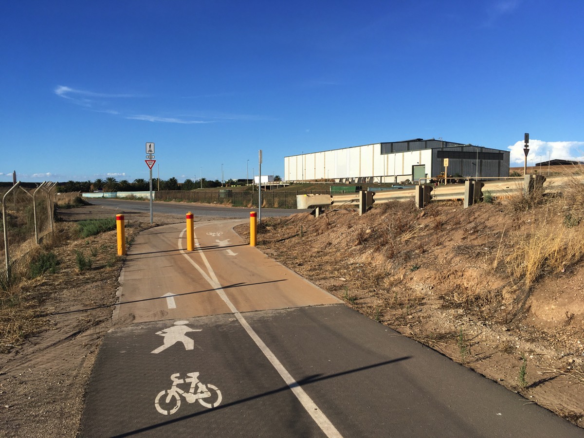
Hanson Road bollards
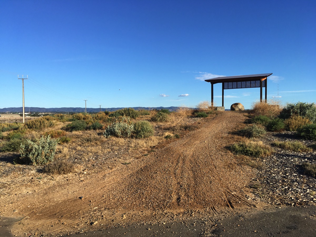
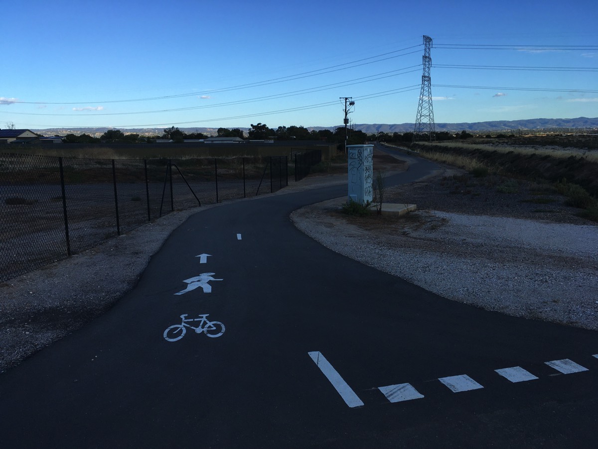
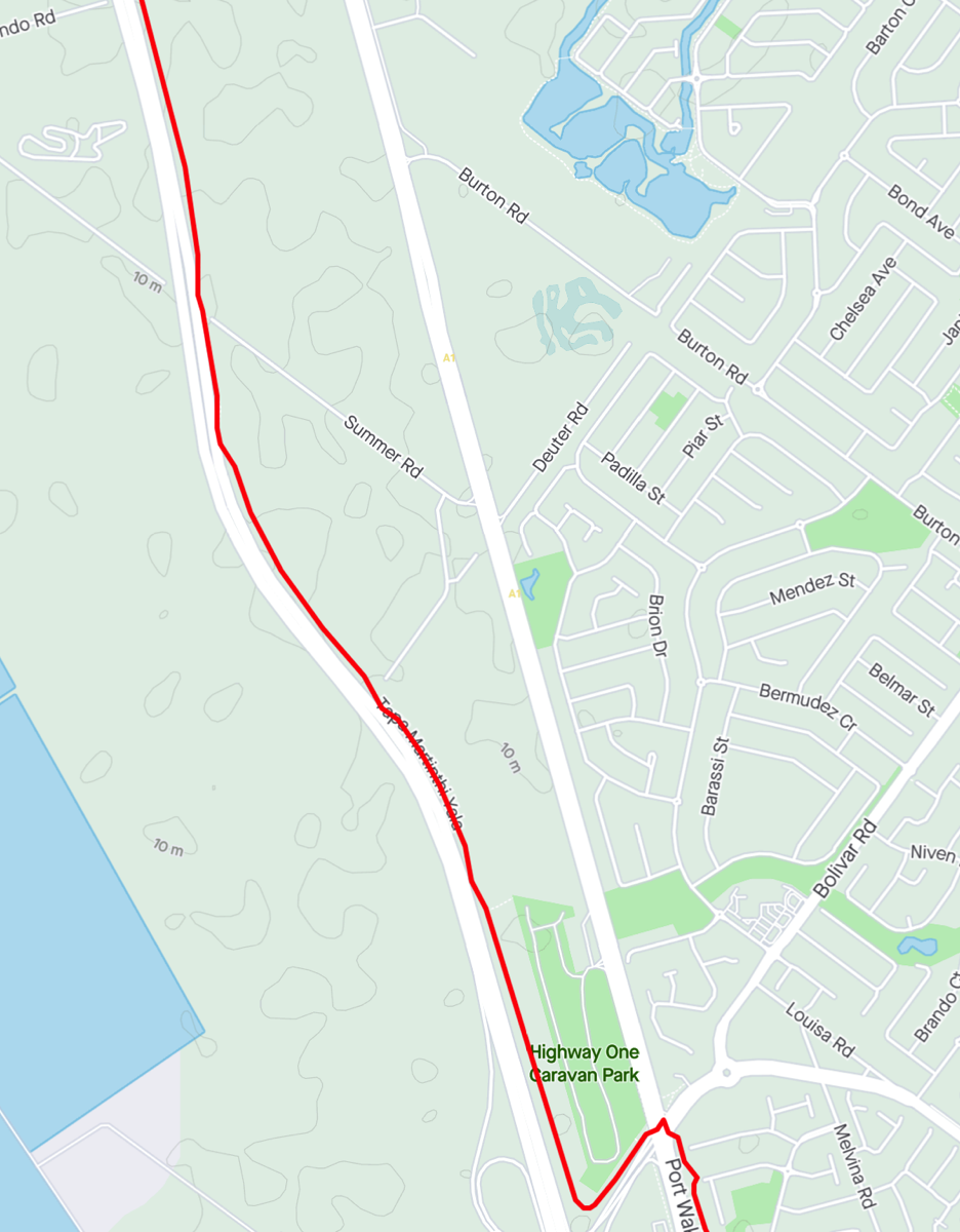
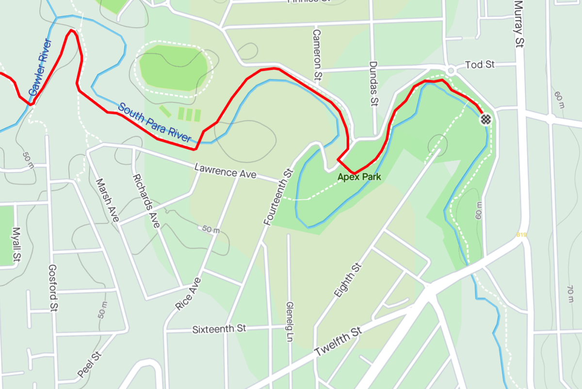
Salt Pan Junction
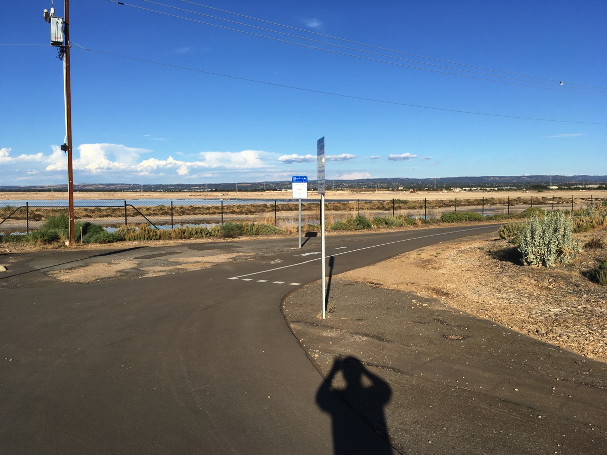
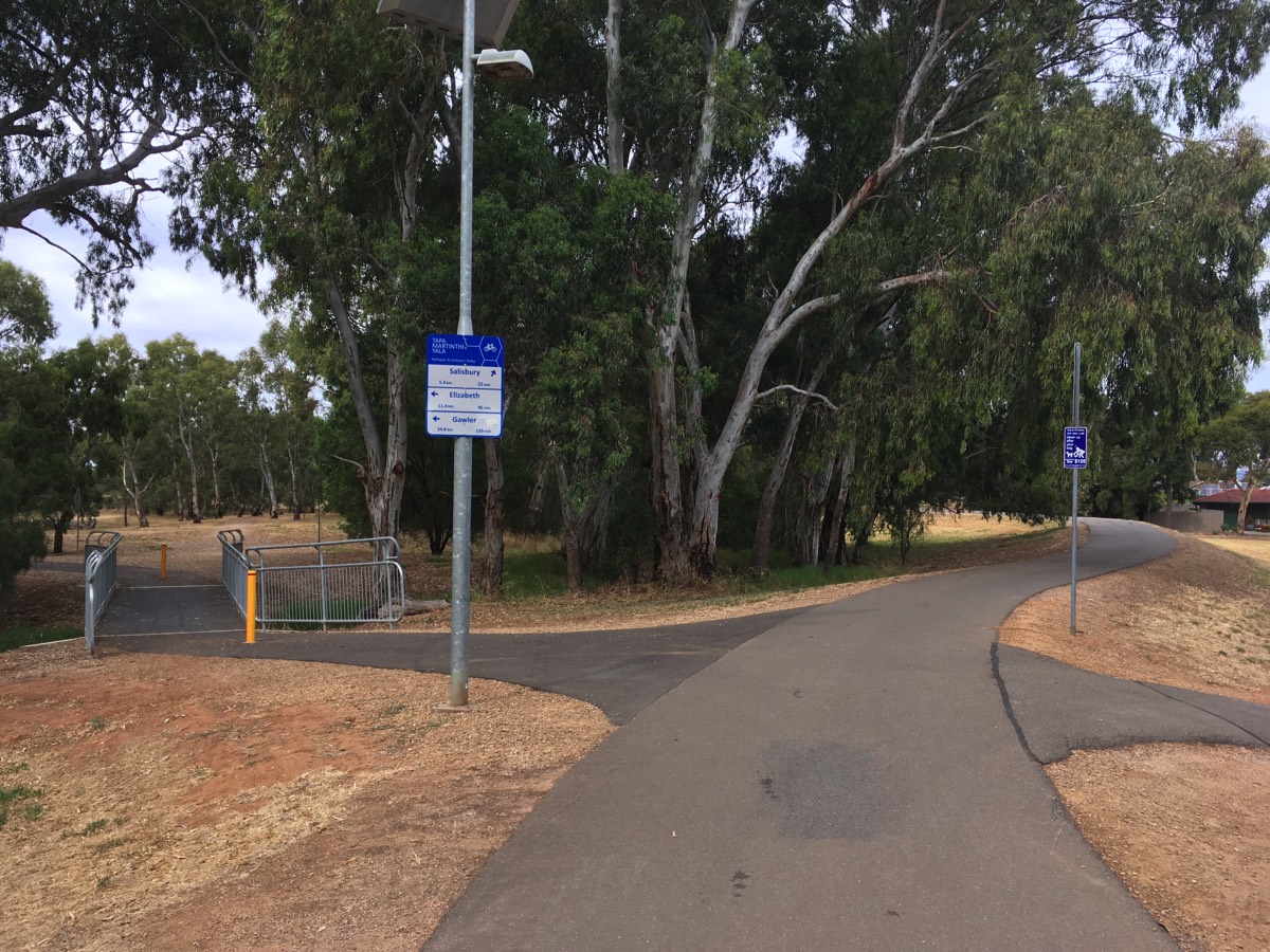
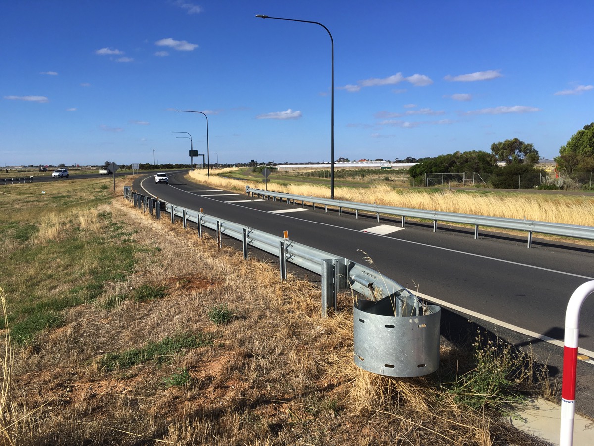
The Port River Bikeway continues towards the Port Expressway, South Road, North South Motorway, Northern Connector, Salisbury Highway interchange. Fortunately there is no need to worry about the roads as the path turns north next to the waste and recycling centre and then passes under the motorway. I've never seen water in this underpass. Keep following the path and you will reach "Salt Pan Junction" where there is a small shelter on a mound of dirt and a path heading back towards Salisbury Highway. Don't take that path, turn to the left and keep following Tapa Martinthi Yala (between the Northern Connector and the salt pans).
You've travelled about 7.5km once you've got to Salt Pan Junction.
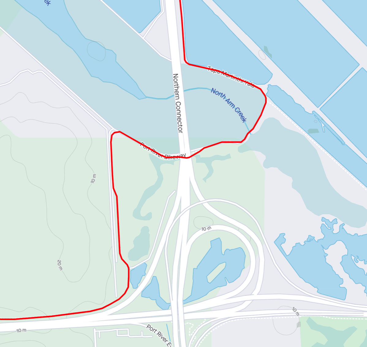
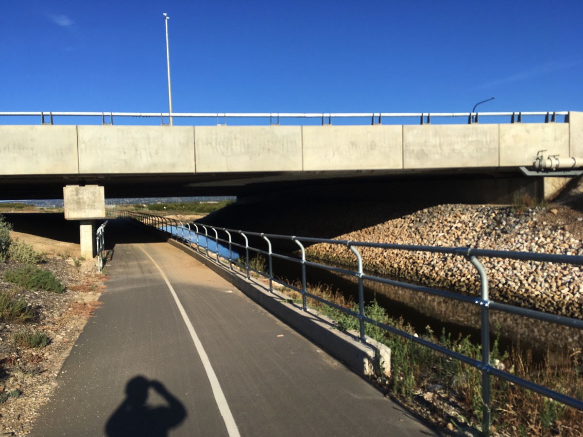
Under the Northern Connector
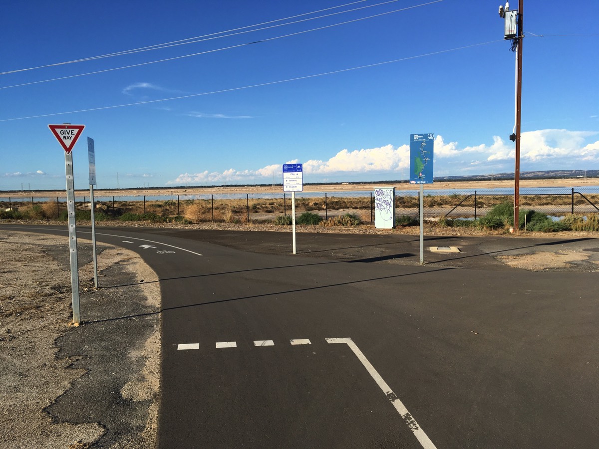
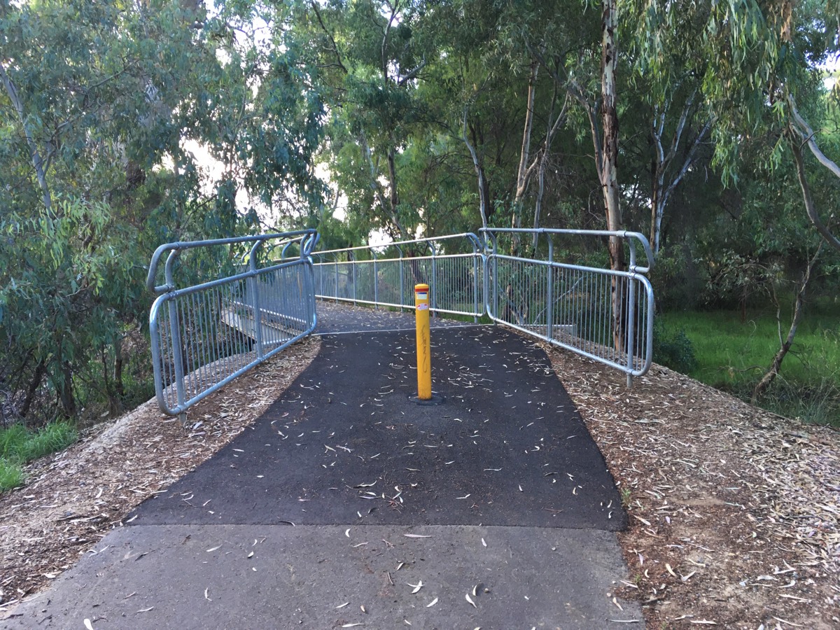
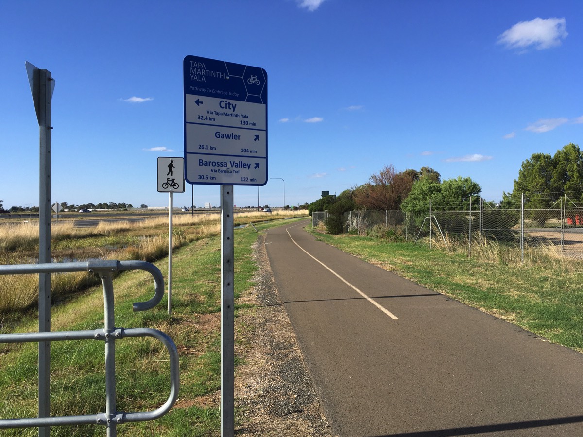
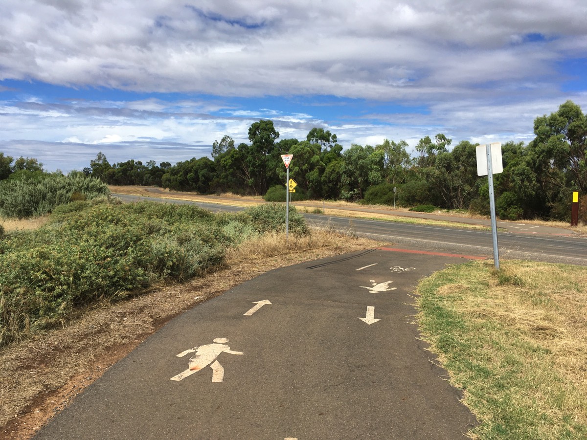
Start of Tapa Martinthi Yala
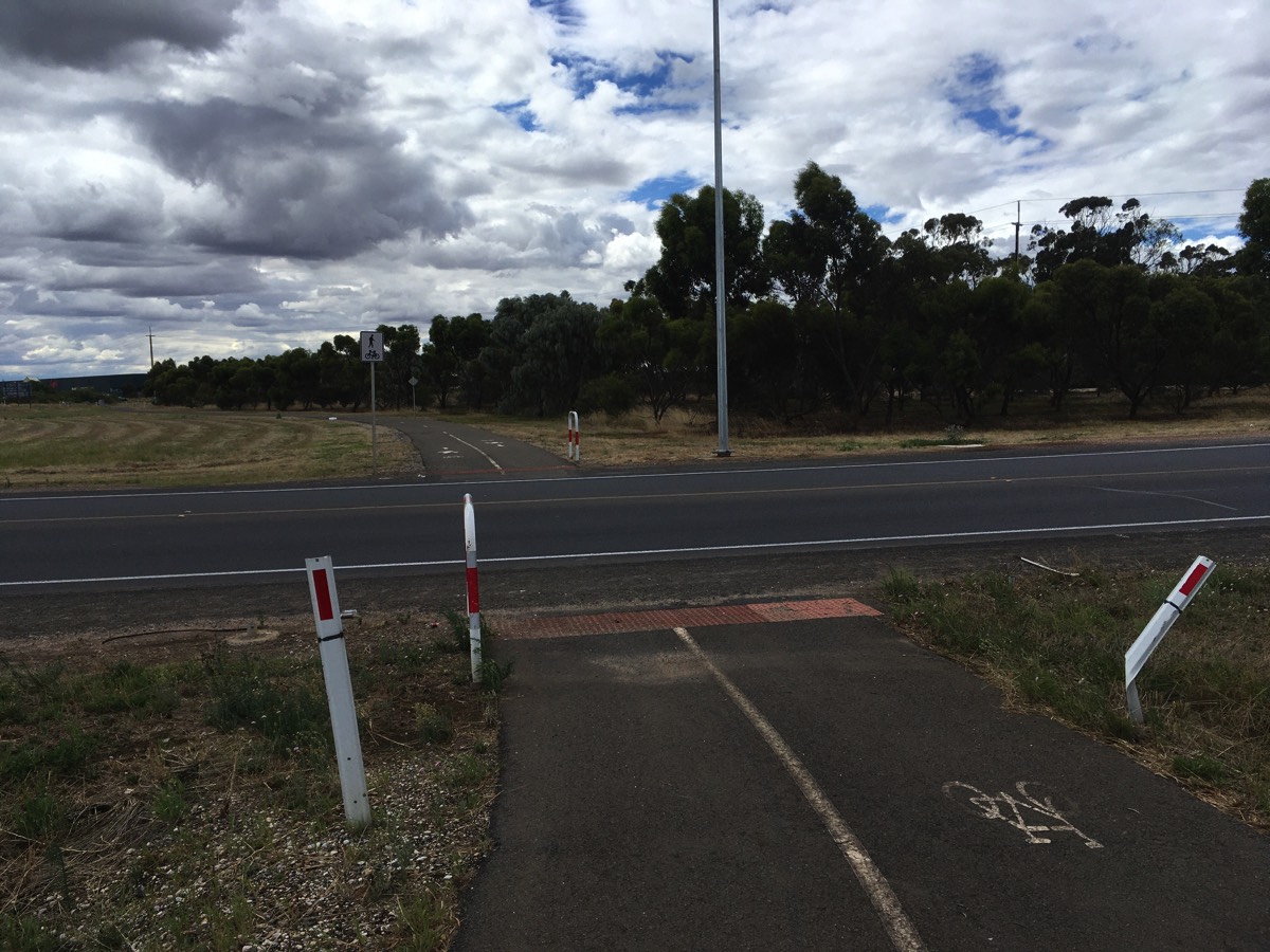
Turn right for Gawler Greenway to the city
Shelter for birdwatching but no drinking water
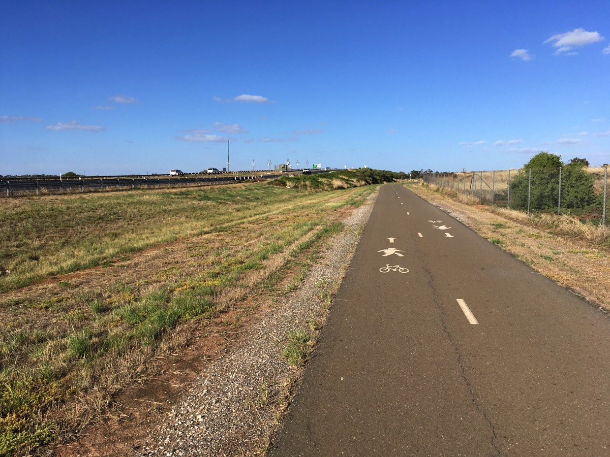
Across the salt pans
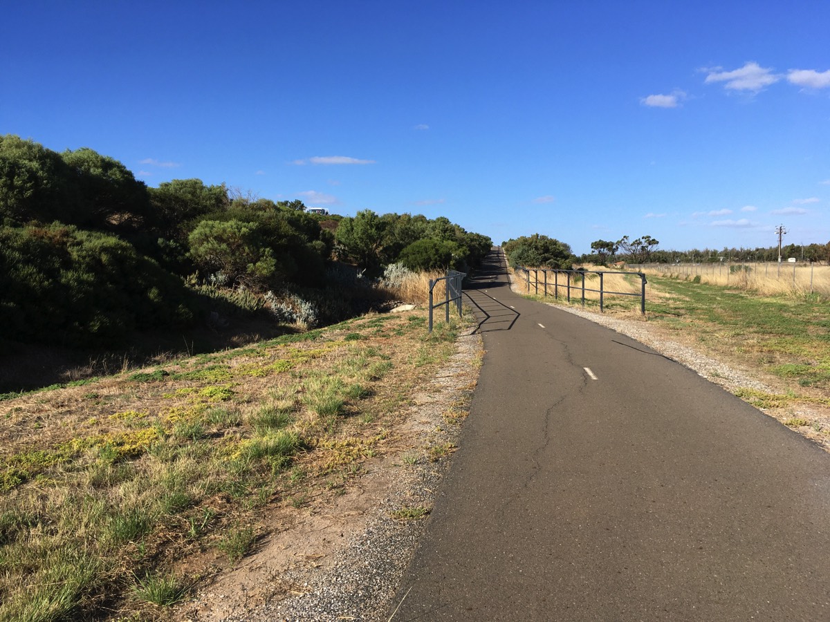
The Tapa Martinthi Yala is quite exposed and so when the wind blows across the salt pans it can be unpleasant.
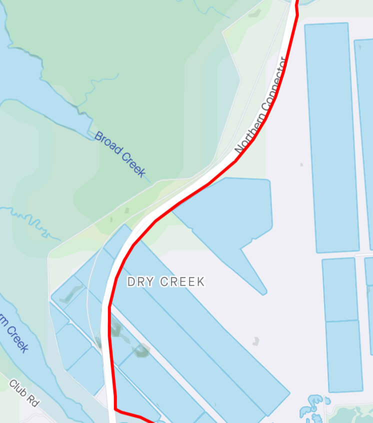
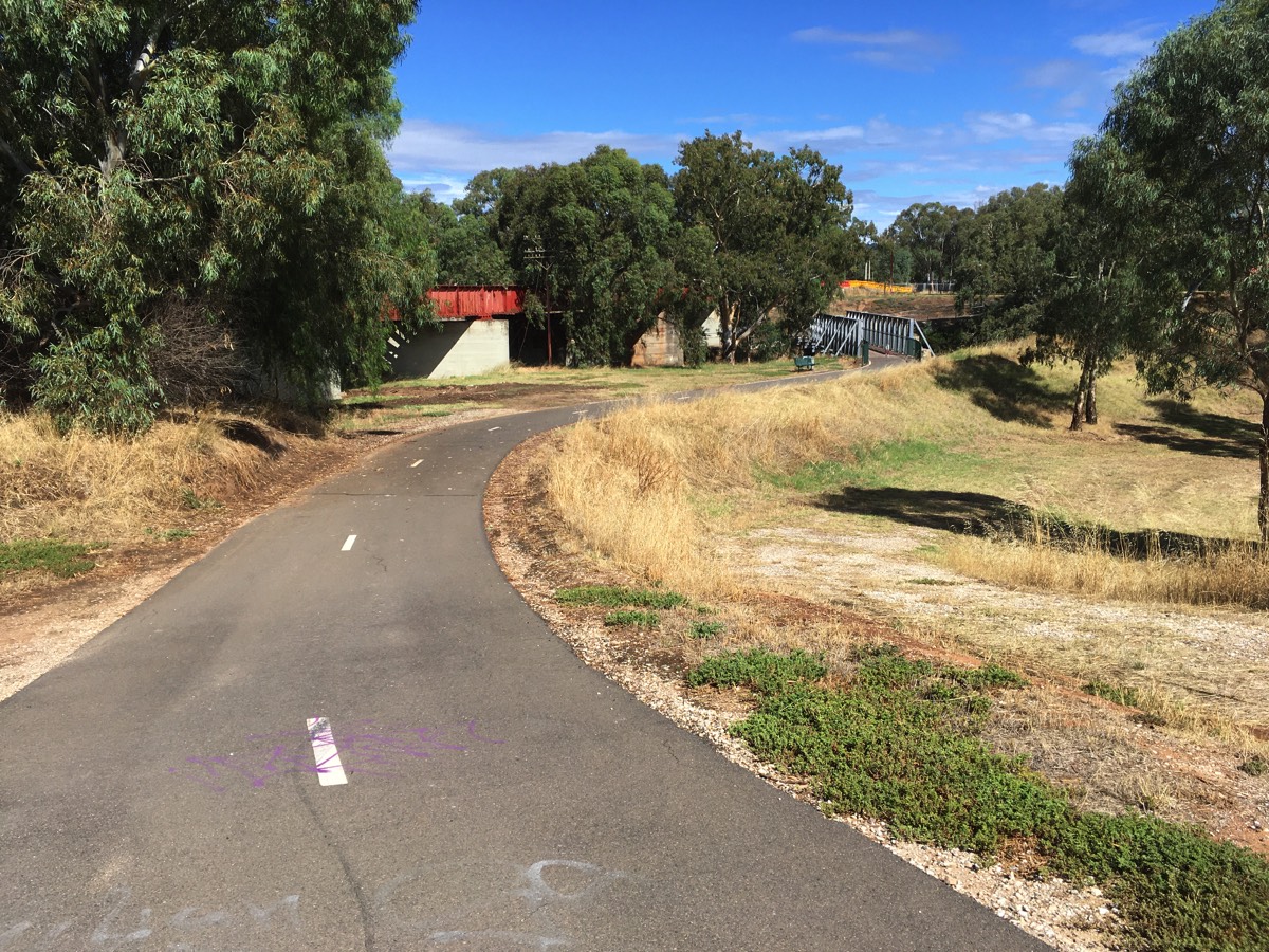
Dry Creek Trail
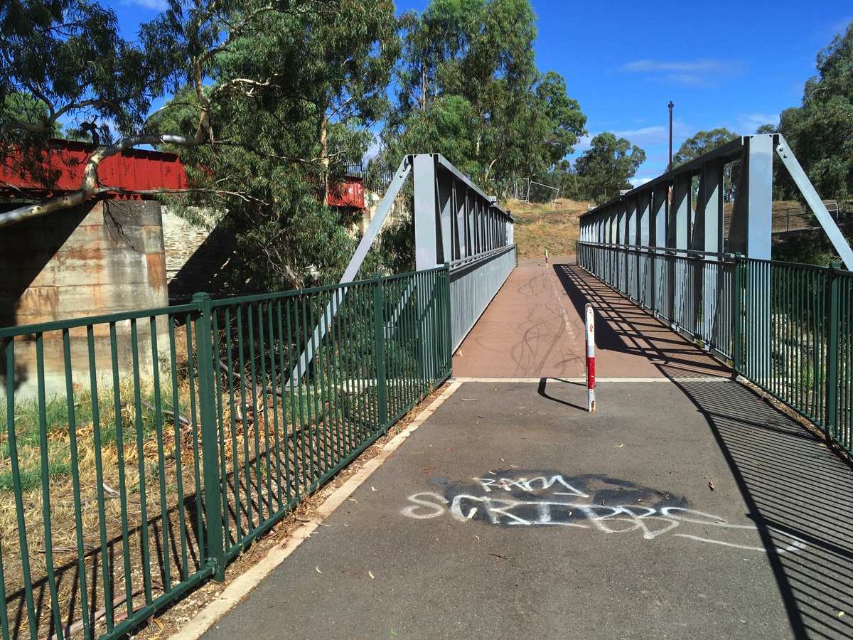
After crossing Dry Creek there is a path to the right that goes under the bridge. At the moment the sealed path ends on the other side of the bridge but a dirt path continues towards St Kilda although it's not clear if it's a private road or not.
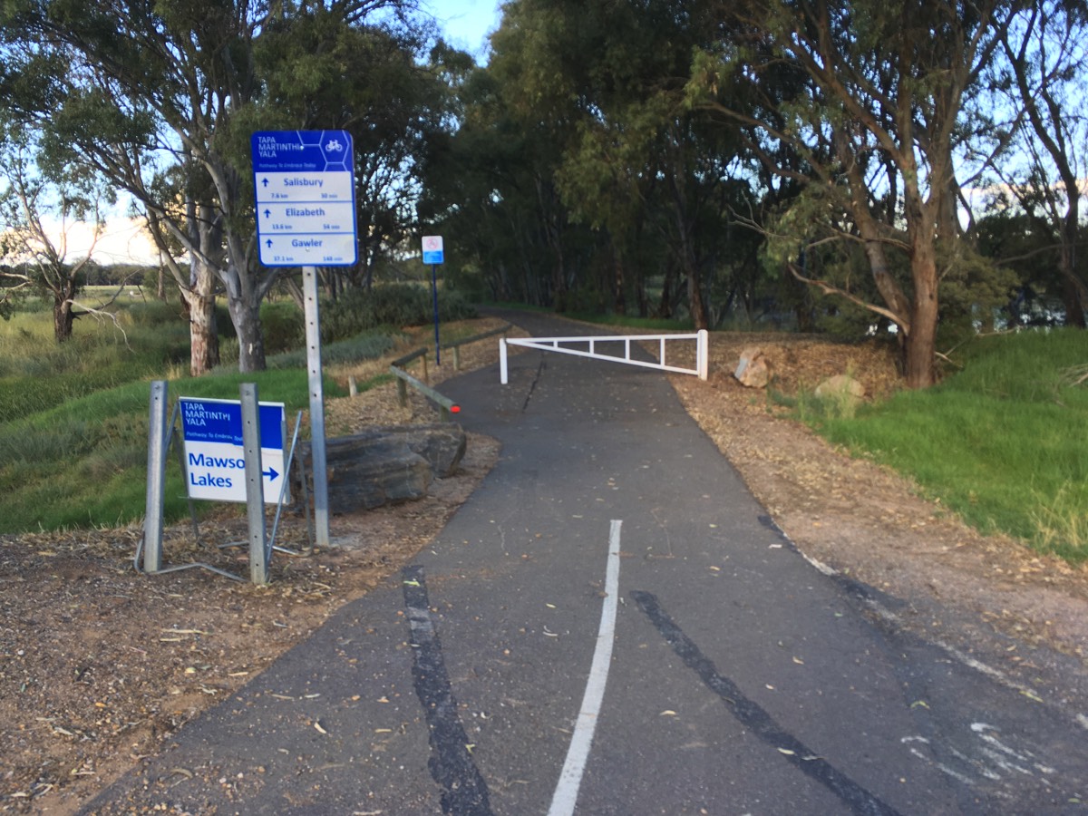
A bit further is another sealed path to the right, this is the Dry Creek trail to Mawson Lakes.
Continuing on the Tapa Martinthi Yala it merges with the Little Para Trail. There is a gate across the path but a gap to the side provides access. It's not clear what the council is trying to keep out here. To the right is a short cut to the Dry Creek Trail if you are coming from the north. Once past the gate the path meanders through the Whites Road and Little Para Wetlands.
You've covered about 13 km once you're at the gate.
No signage on path to nowhere
Dry Creek Trail to Mawson Lakes
Swerve around the gate
To the Dry Creek Trail and Mawson Lakes
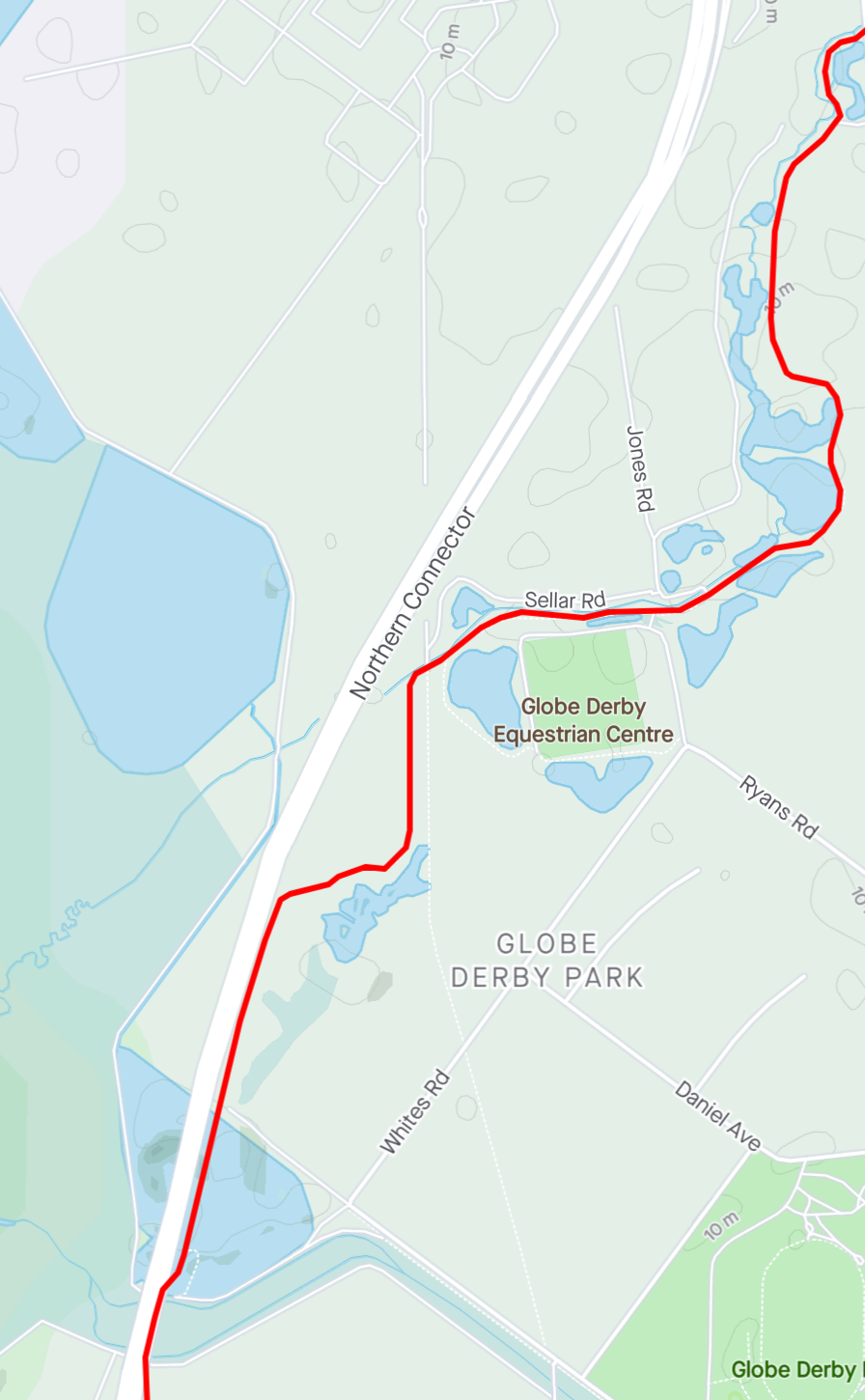
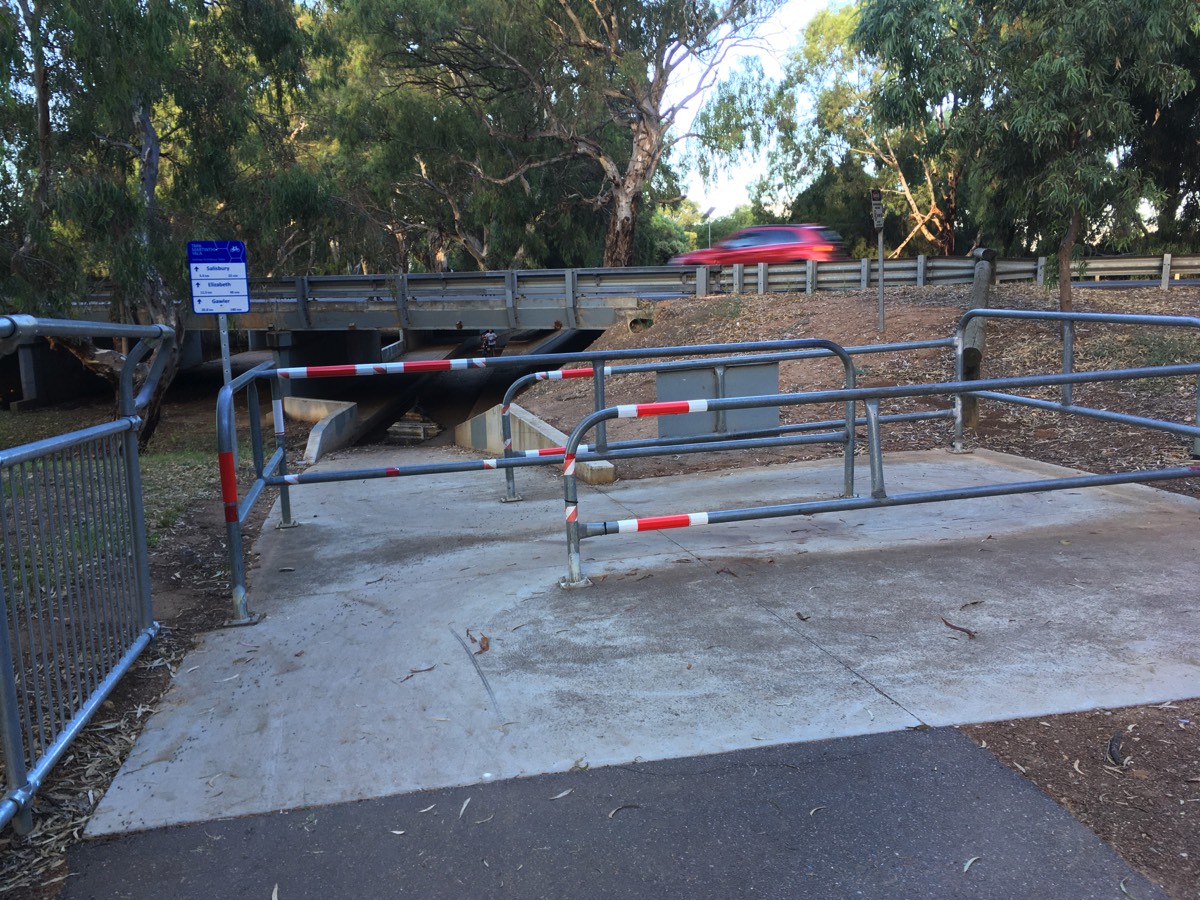
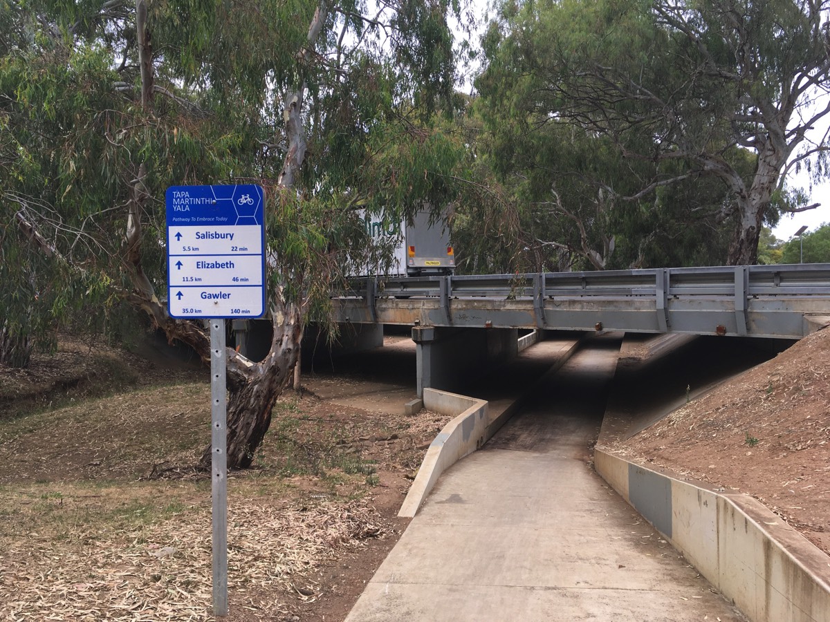
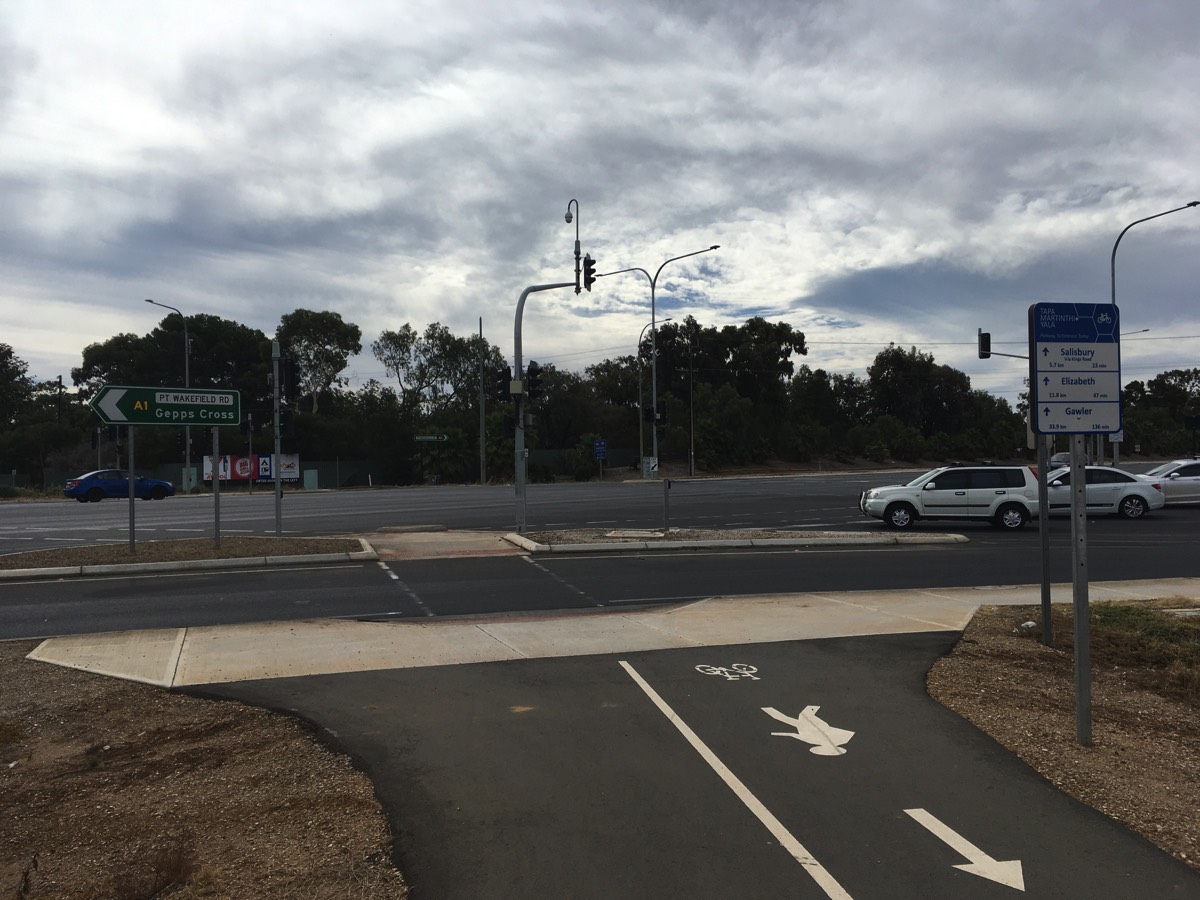
Bolivar Interchange
Rather than have the Tapa Martinthi Yala continue north it is forced to cross under the Port Wakefield Road and then latter cross back again.
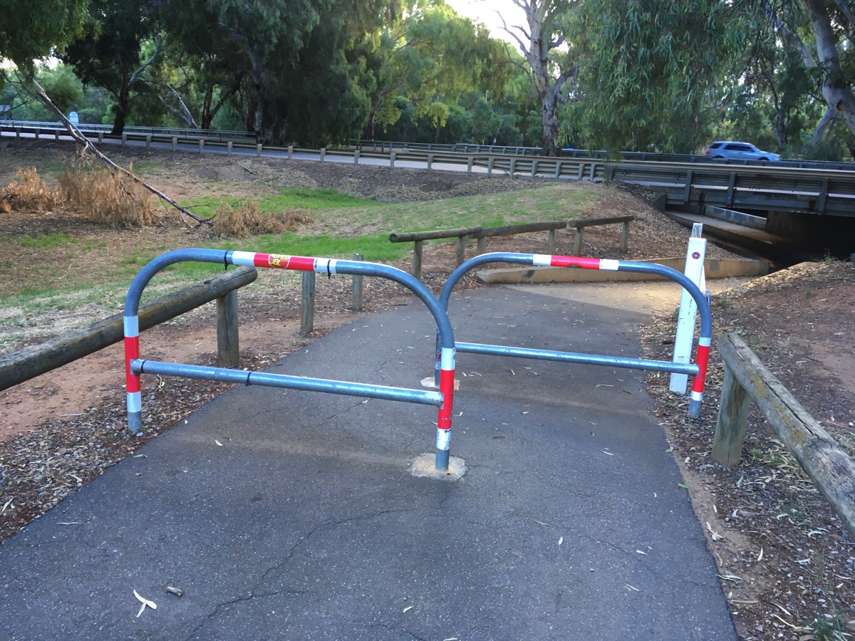
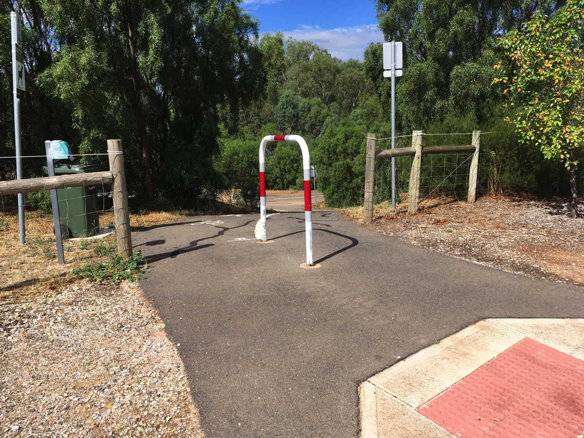
Leading to the culvert crossing there is an "anti-motorcycle" barrier. Negotiating it with a cargo bike or a recumbent could be a challenge. The barrier on the eastern side of the culvert is slightly less of a disaster.
Shortly after the barrier there is bridge on the left. If you are continuing on the Tapa Martinthi Yala you should take the path across the bridge rather than continue on the Little Para Trail.
Following the sealed path there is a traffic light controlled crossing next to the OTR. I normally ignore this crossing and head further north to the main intersection with Bolivar/Kings Road. You need to diagonally cross the intersection and both options seem much the same, waiting for multiple green lights. Once across the road the Tapa Martinthi Yala skirts around the caravan park and continues north towards the Waterloo Interchange.
Once you've reached the point where Tapa Martinthi Yala diverges from the Little Para Trail again you have travelled about 15.4 kms.
The new bridge
The anti-motorbike barrier
The culvert under Port Wakefield Road
The eastern barrier
Tapa Martinthi Yala continues to the left
Bolivar Interchange
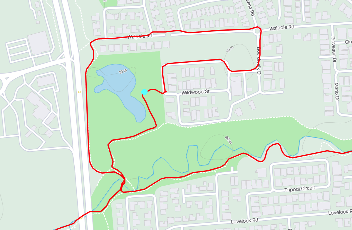
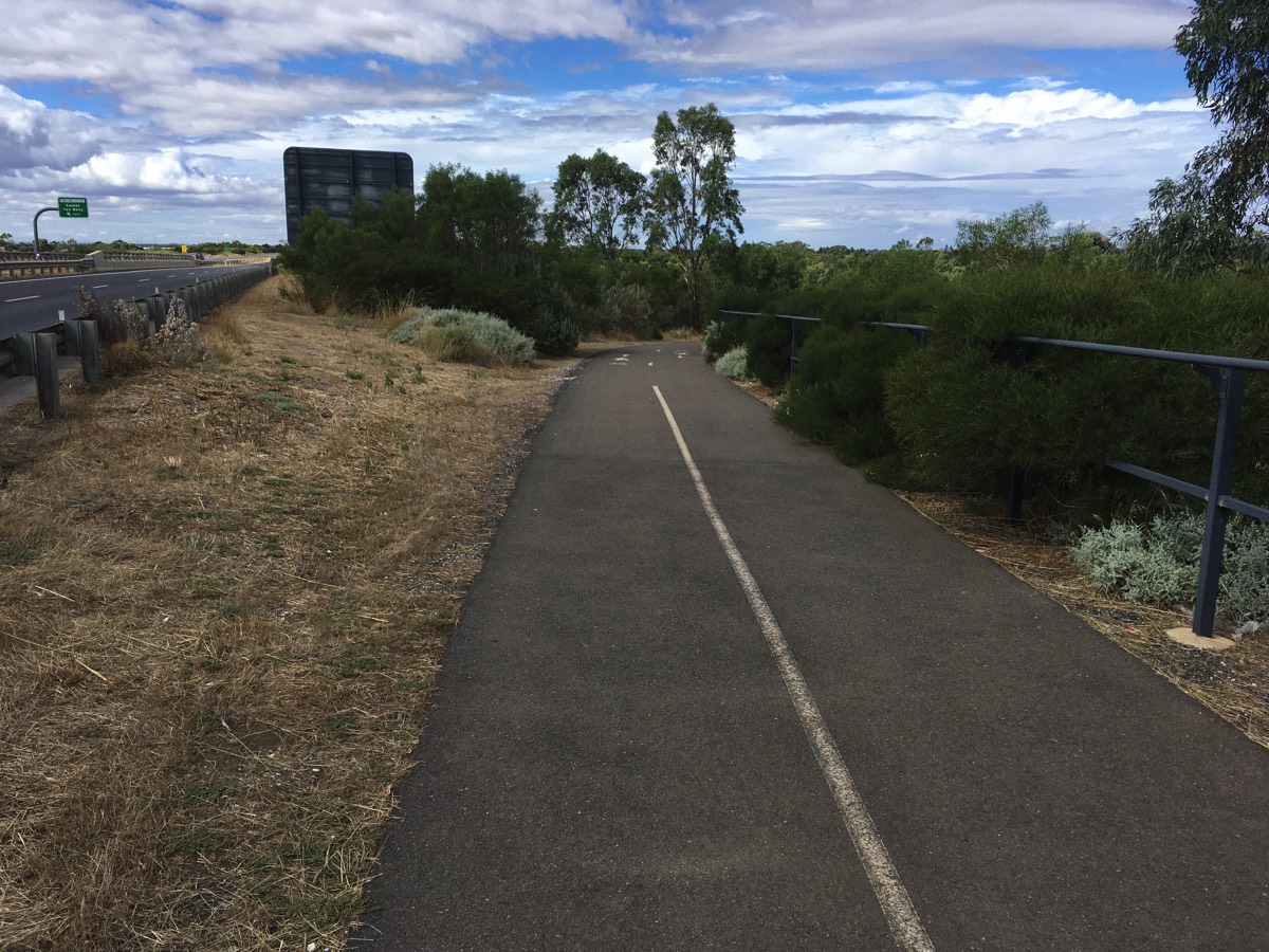
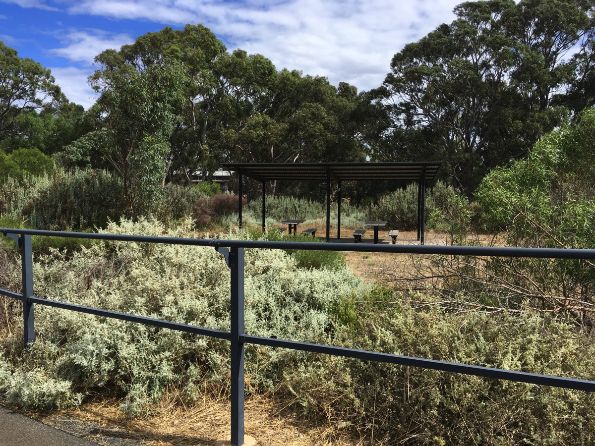
Diversion for water (if required)
You are close to one of the few places you can fill a bidon along the route.
After crossing the bridge there is a gravel trail to the right (ignoring the one immediately at the bridge). Follow this path and turn left when you come to another path and there is a water fountain next to the shelter in the small park along this trail. It's also possible to reach it via Walpole Road and Broadwalk Drive if you want to keep to the tarmac, although there is still gravel at the end to reach the shelter.
There is also a short cut gravel path from Walpole Road to the park.You need to use the footpath as there is a break in Walpole Road.
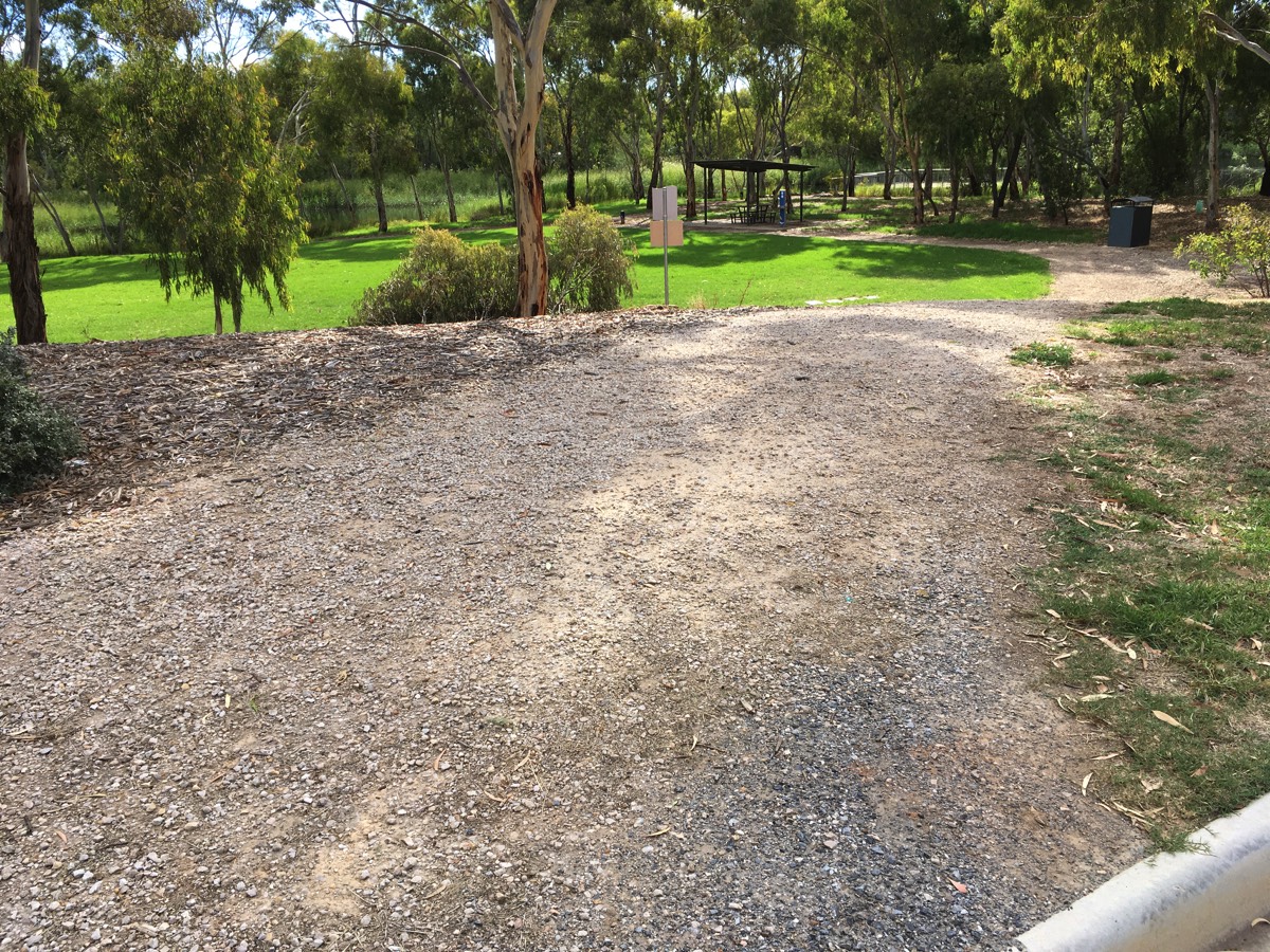
Path from the road to the shelter
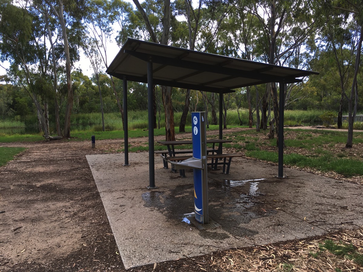
Shelter and water
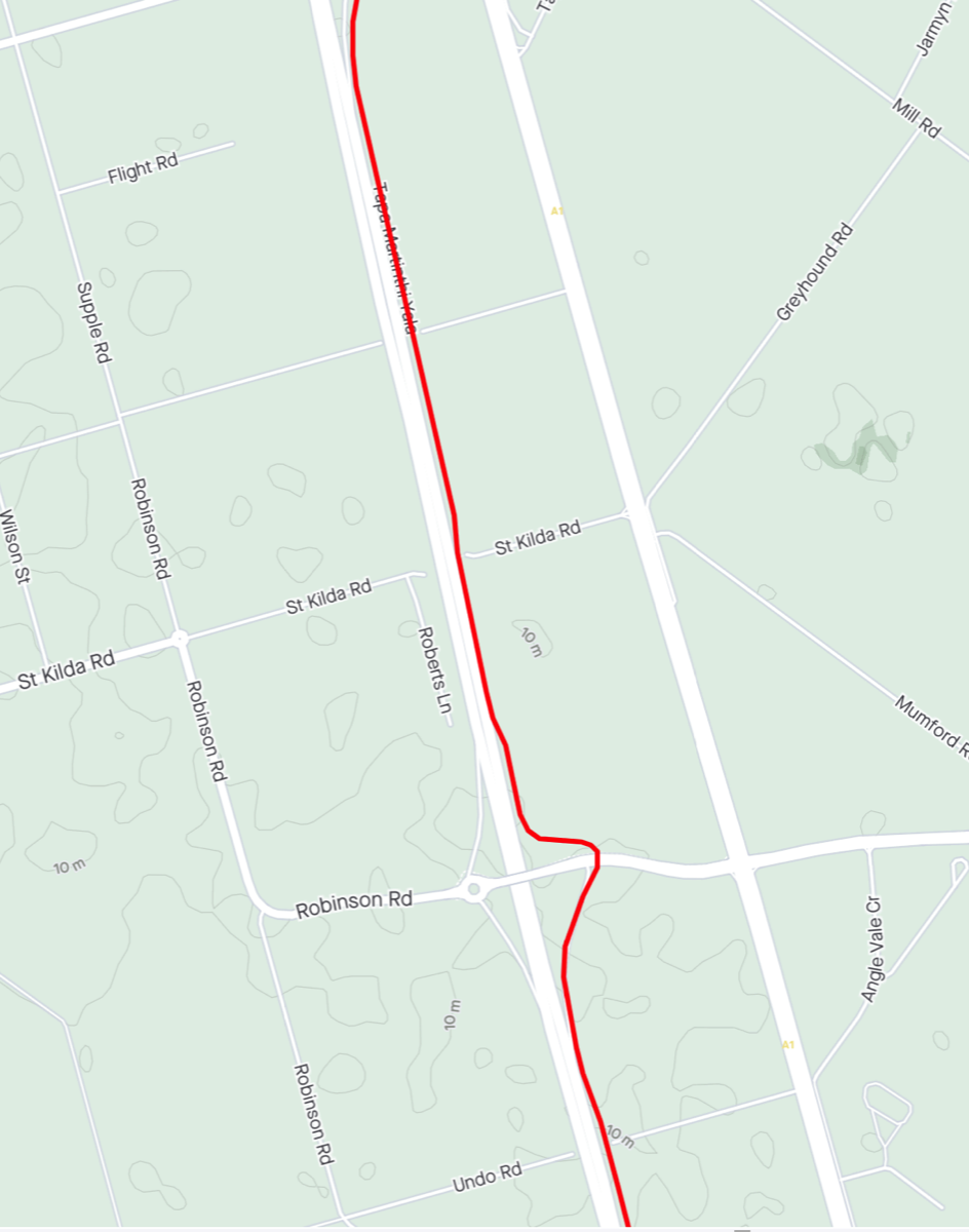
Towards Waterloo Interchange
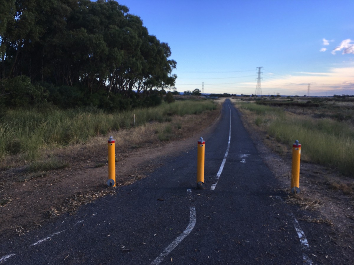
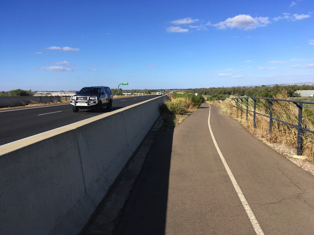
Heading north from the Bolivar Interchange towards Waterloo Interchange is fairly boring. The initial part is behind a noise barrier and then the path just tracks alongside the expressway.
Waterloo Interchange
If you want to head to St Kilda then cross the bridge here. Note there are no off road bike paths once you cross the bridge.
Also if you want to head to Virginia this is also an option since you can't cross the Northern Expressway until Penfield Road. Head up Robinson and Supple Roads, turn right into Ryan before crossing Port Wakefield Road and turning into Old Port Wakefield Road.
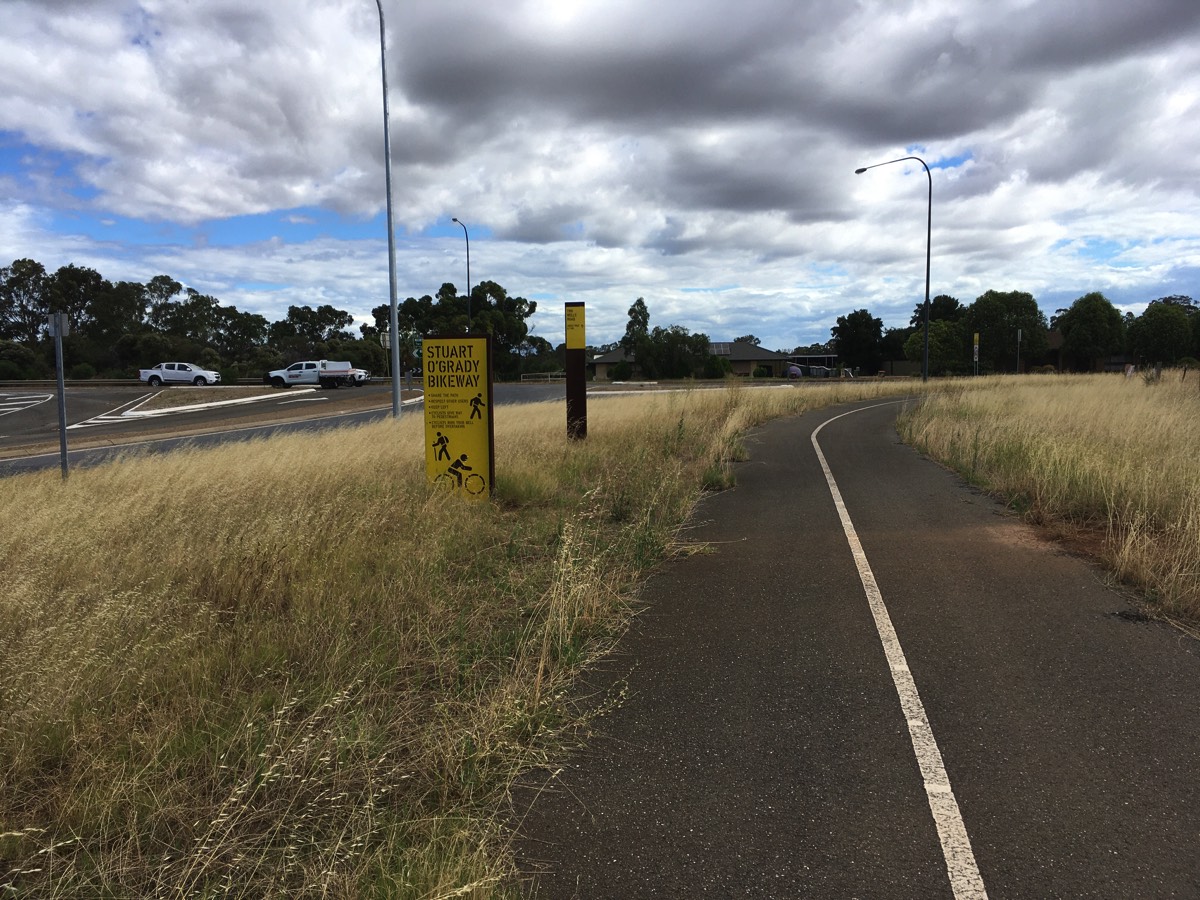
Still heading to Gawler? Then stay on the Tapa Martinthi Yala and keep heading north towards the Stuart O'Grady Bikeway.
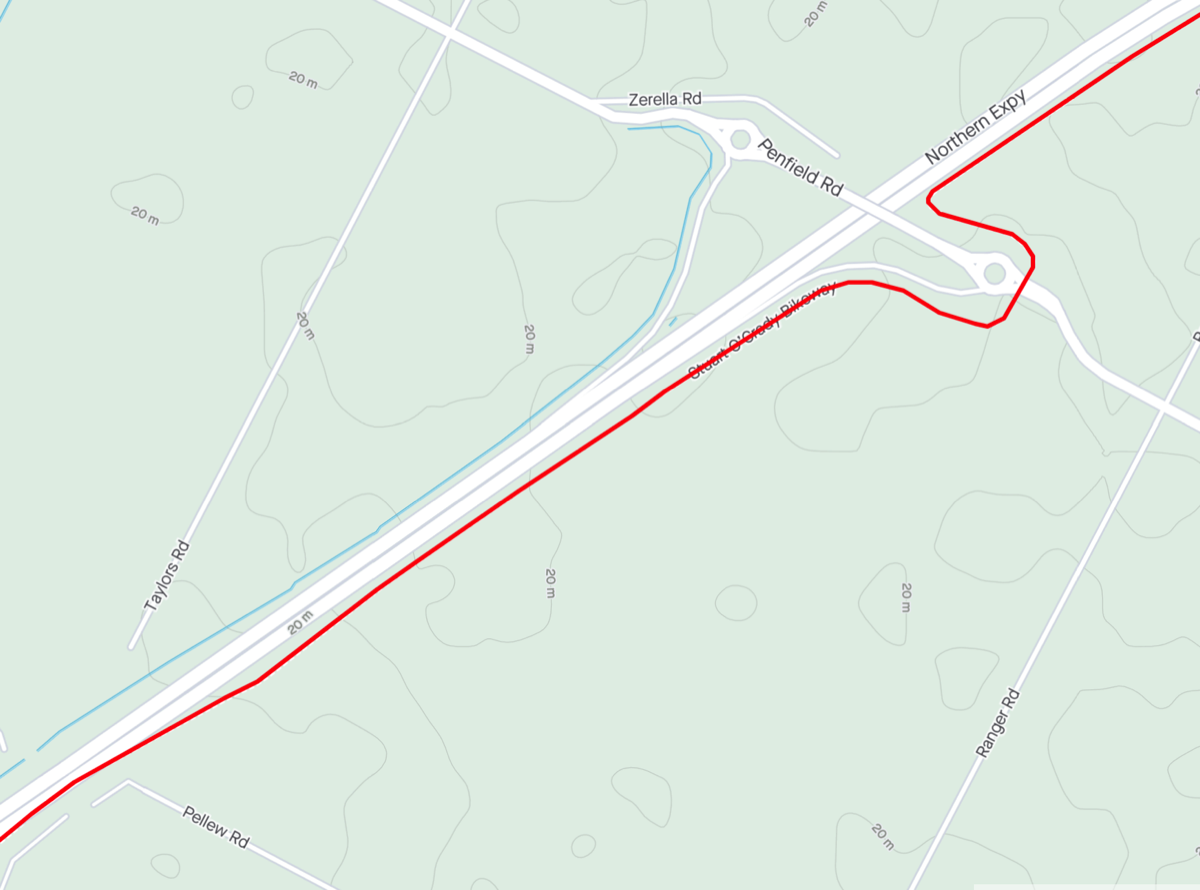
Tapa Martinthi Yala to the Stuart O'Grady Bikeway
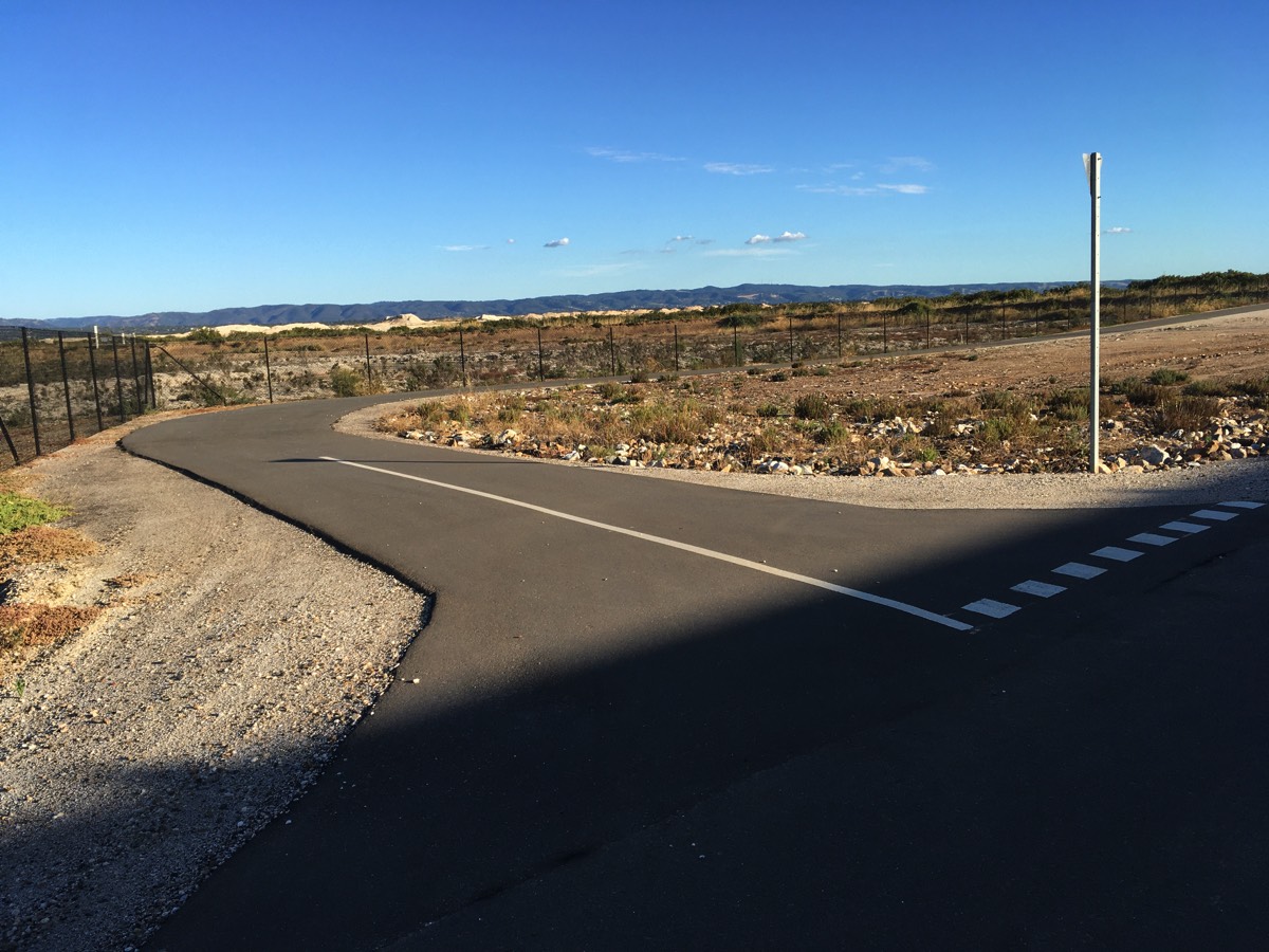
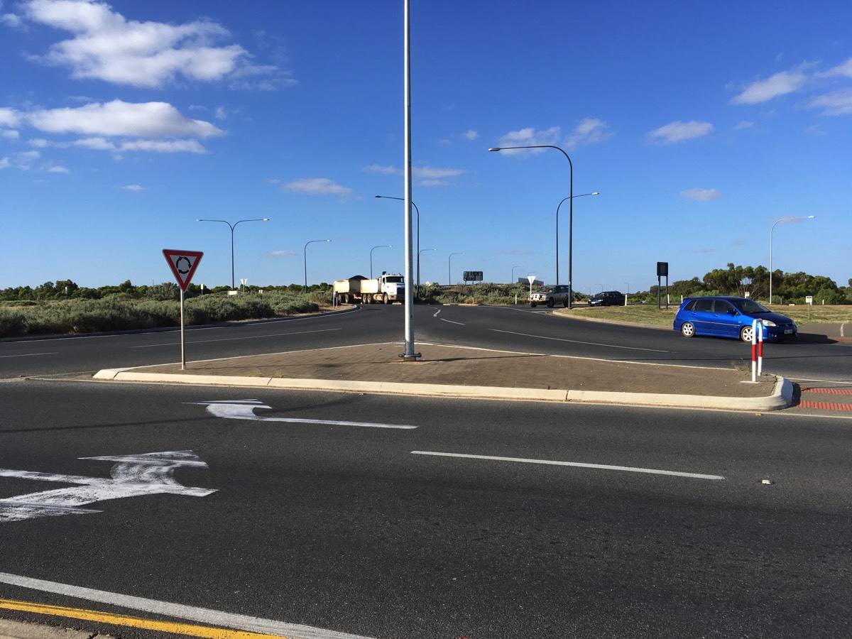
The Tapa Martinthi Yala negotiates the intersection of the Northern Connector, Northern Expressway and Port Wakefield Road with only one interaction with a road, the slip road between the Northern Expressway and Port Wakefield Road. It uses the road bridge to cross the slip road for traffic heading from Port Wakefield Road to the Northern Connector and then passes under the Port Wakefield Road bridge along with the Northern Expressway. Relatively few vehicles use the slip road to Port Wakefield Road. Most vehicles travelling south on the Northern Expressway appear to continue onto the Northern Connector instead.
After crossing the slip road turn left onto the Stuart O'Grady Bikeway.
Once you reach the Stuart O'Grady Bikeway you have covered 24.1 kms.
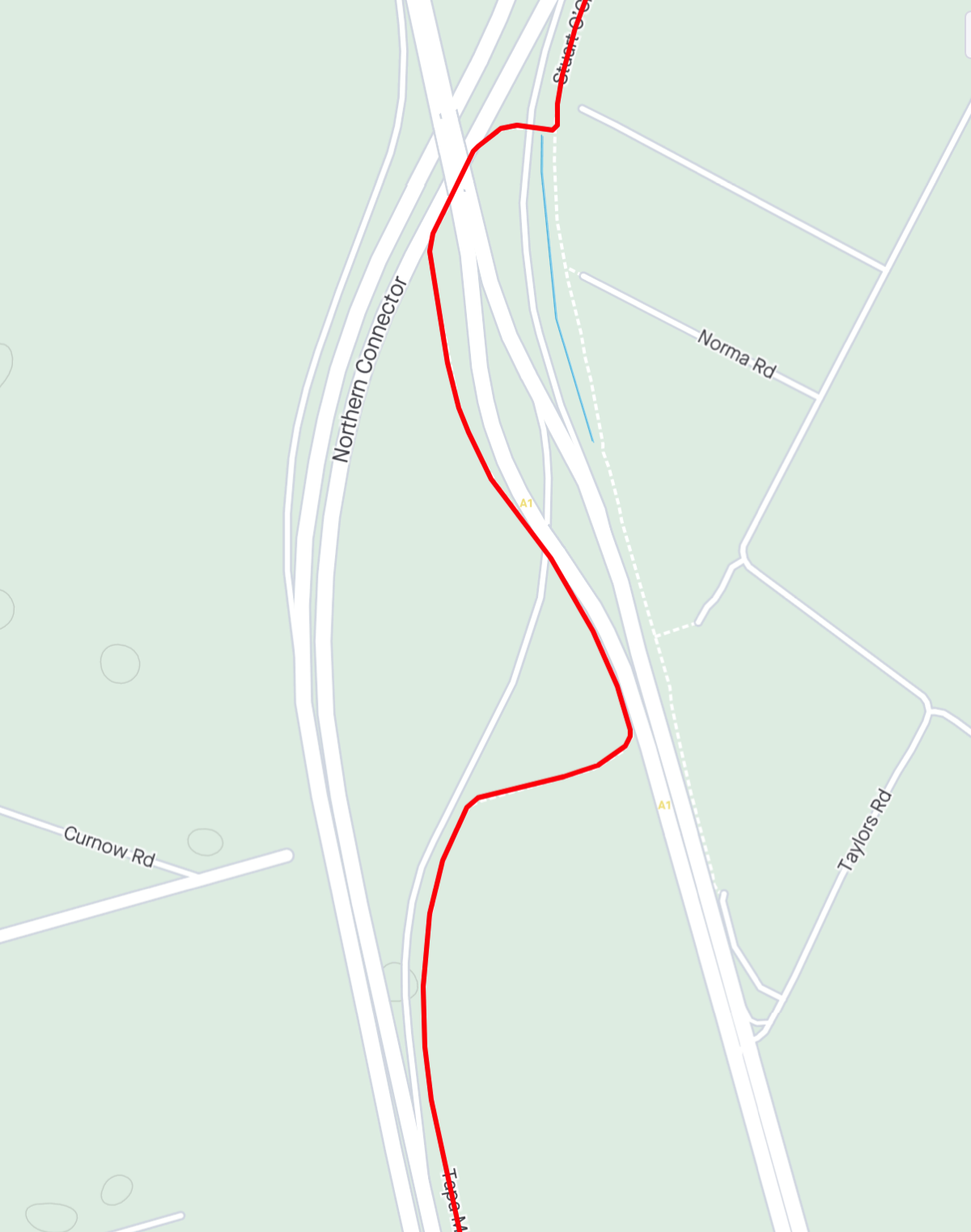
The road crossing between TMY and SOB
It's one way so look left
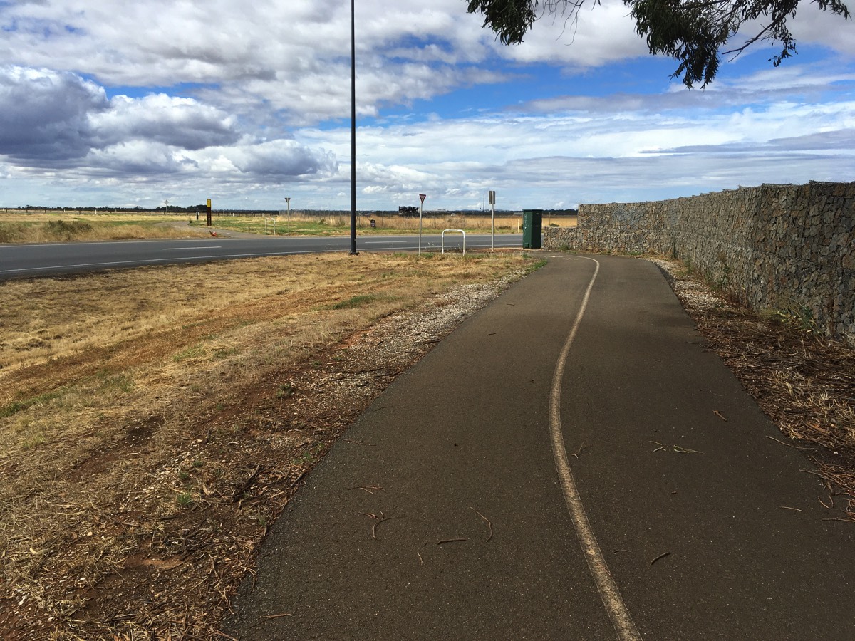
Onward to Gawler
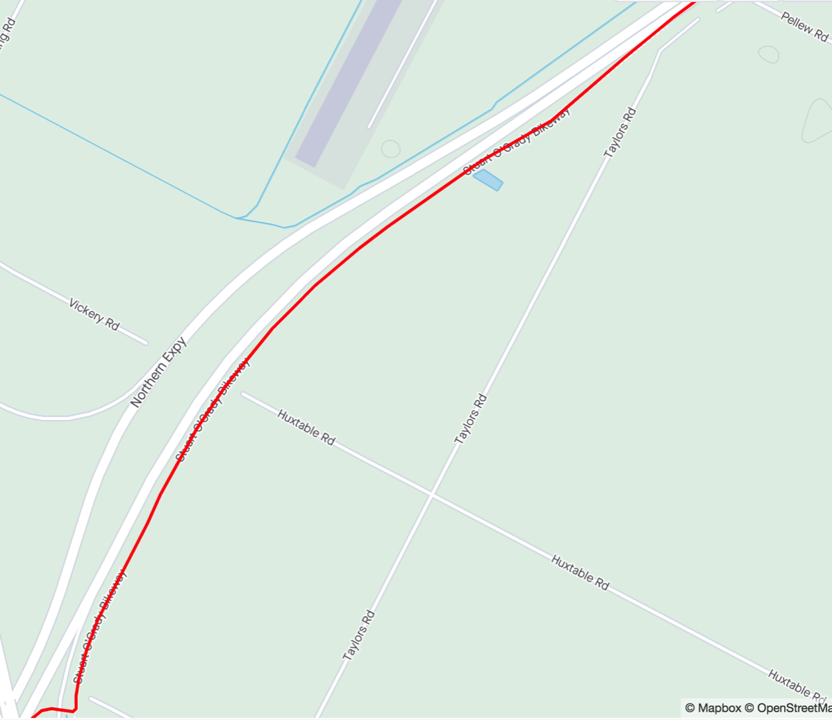
Mount Pellew
Mount Pellew
The Stuart O'Grady Bikeway crosses the northern freight railway using the Northern Expressway's bridge. On Strava it's called Mount Pellew as it's one of only two climbs on the SOB. Curiously its approaches are steeper than the expressway.
The path between the bridge and Penfield Road has subsided in a number of places. Some of them are marked with cones which have been there for at least a year so fixing it isn't a DIT priority.
Quick climb of Mount Pellew
And down the other side
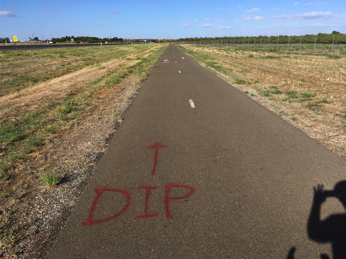
Path needs some TLC
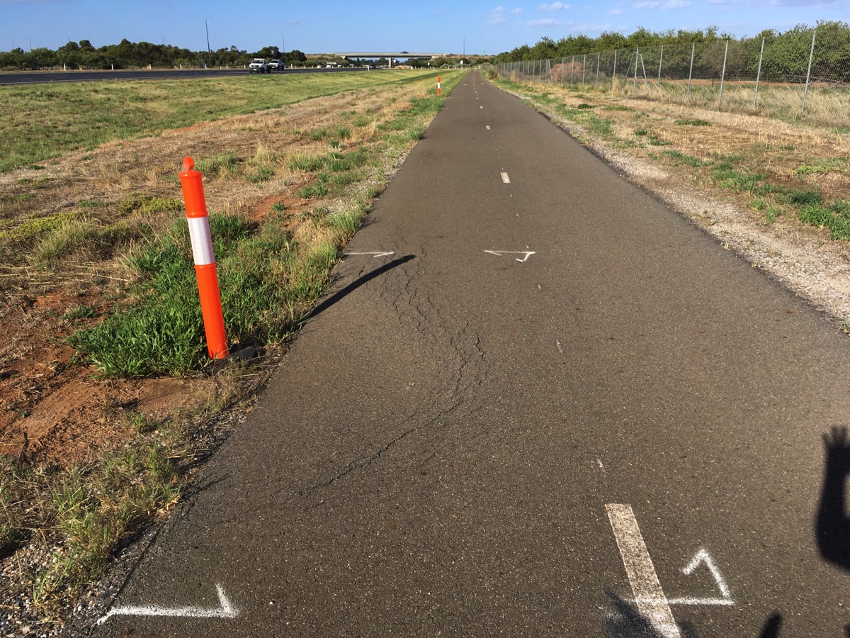
And more of dips
Penfield Road
Cross the bridge and follow Penfield Road if you want to go to Virginia or further north, otherwise continue on the bikeway. Beware of the sharp right hand turn after the bridge, often there is gravel on that corner and I know of at least one person who has come to grief there.
Fairly clean today
A number of patches
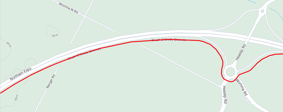
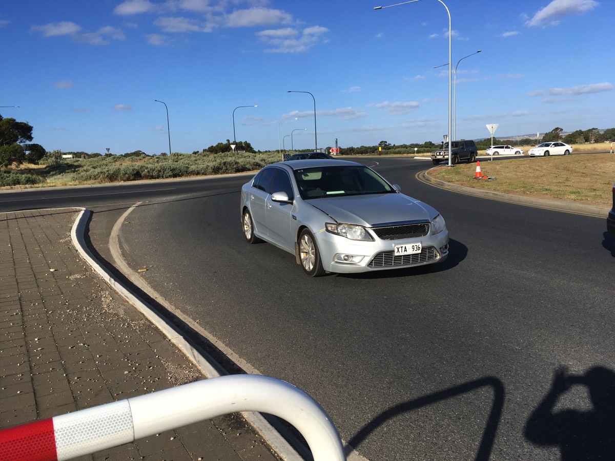
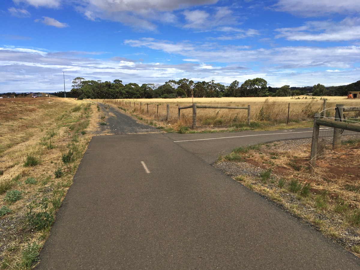
Womma Road
Negotiating the Heaslip/Womma Road roundabout requires crossing two roads, make sure you check for traffic coming across the bridge as well as the slip road.
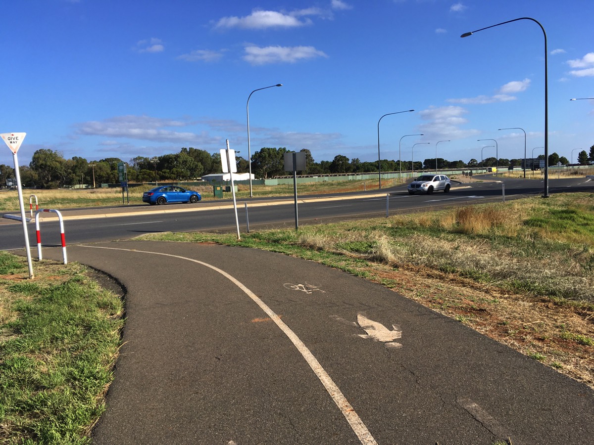
Approach to Heaslip Road
Half way across
Now Womma Road
Traffic from everywhere
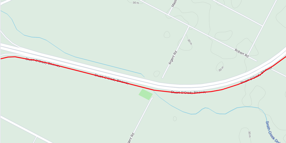
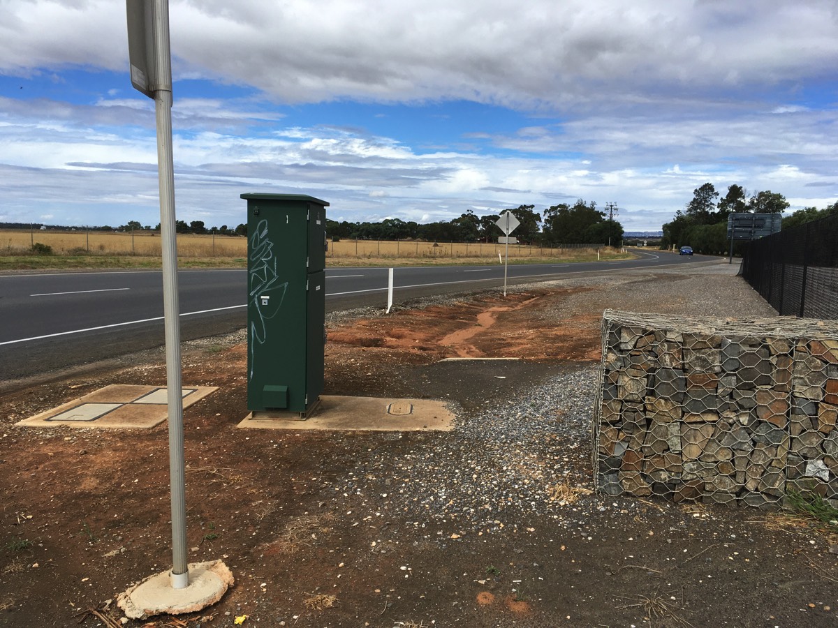
Petherton Road
Petherton Road does not cross the expressway (Robert lies on the other side) but there is a pedestrian gate that connects the bikeway to the road. Rather than taking the long loop north from the Little Para Trail at Port Wakefield Road there is another largely cycling friendly route to get here.
Via TMY and SOB you have covered 32.4 kms to reach the Petherton Road gate, it is 30 kms via Little Para Trail and DSTG/RAAF Edinburgh.
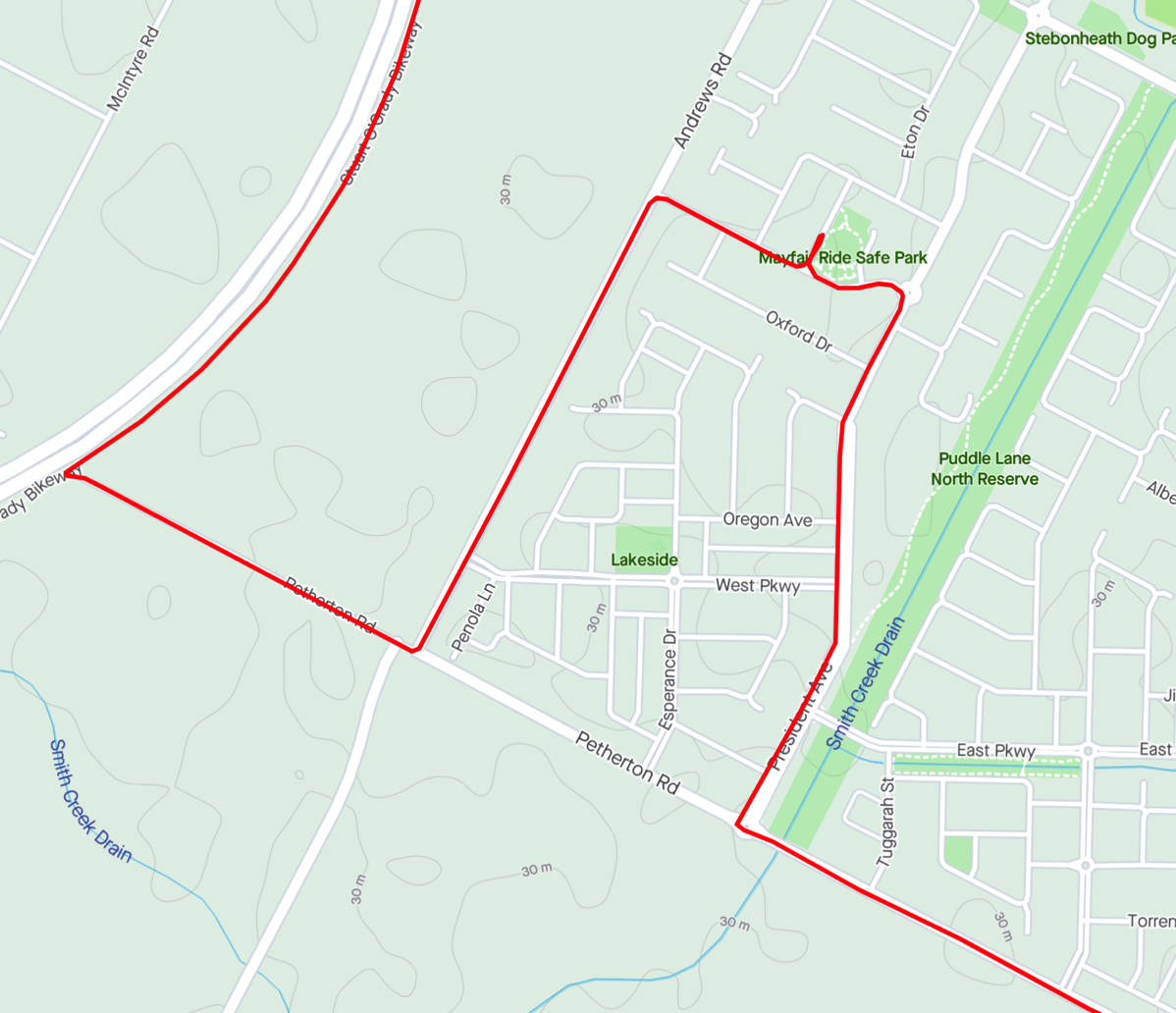
There are no water fountains on the Stuart O'Grady Bikeway but there are a couple near this gate.
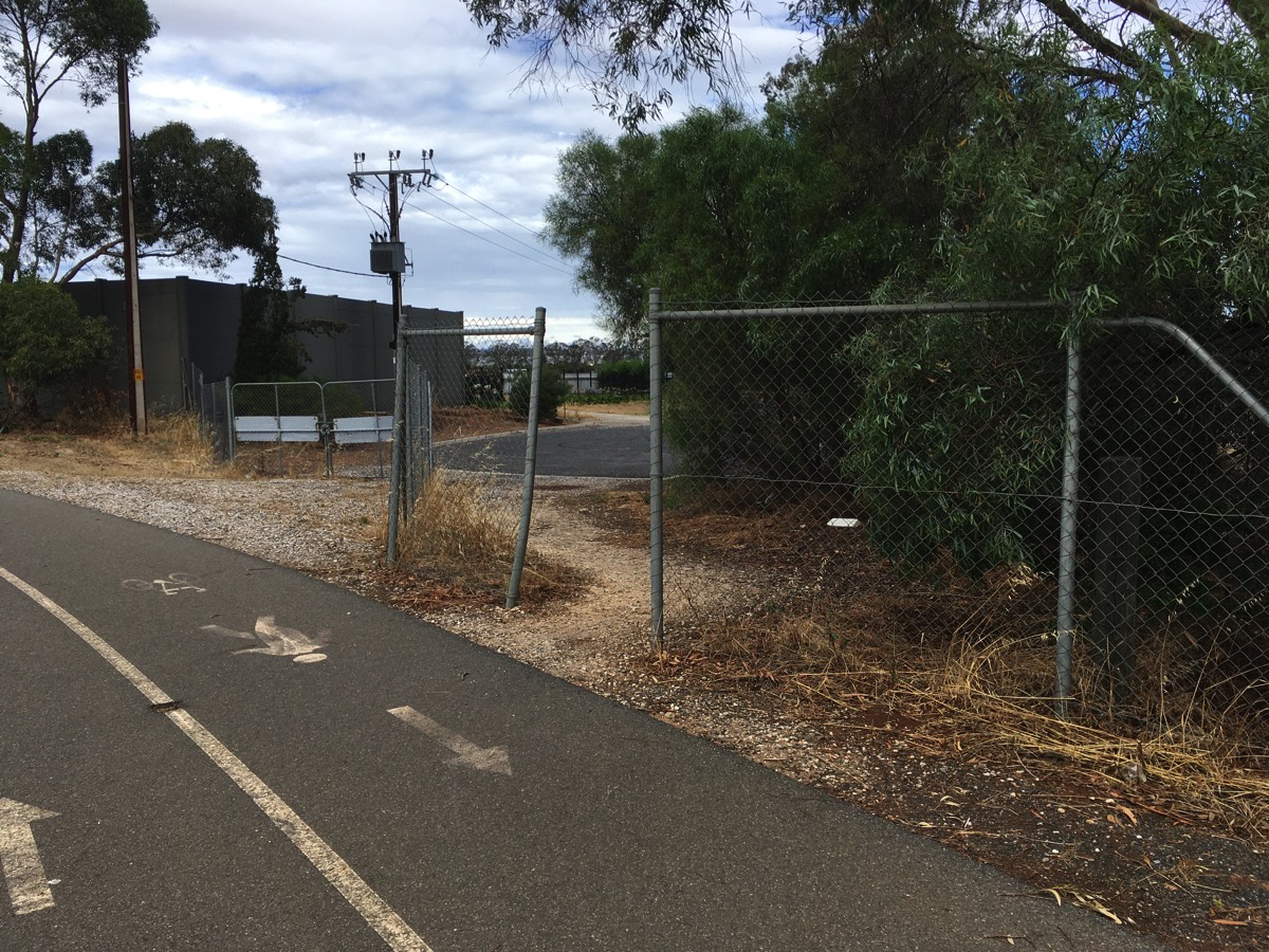
Petherton Road gate
Diversion for water (if required)
You'll need to leave the SOB through this gate and travel down Petherton Road. At the gate look for traffic from the right, they should give way but they probably aren't expecting traffic from a no through road. Turn left onto Andrews Road and then take the third right onto Mayfair Drive. There is a small park, a children's ride safe park and the fountain is on the left, down Concord Way.
Return to Andrews Road and either back track or continue further down Andrews Road and turn left at Curtis Road.
Water fountain on the edge of the park
Curtis Road
Crossing Curtis Road can be very frustrating due to the amount of traffic coming across the bridge, either from the Northern Expressway or the Bunnings store. Just be patient there will be gap in the traffic eventually.
SOB to the left, Curtis Road to the right
Waiting to sprint
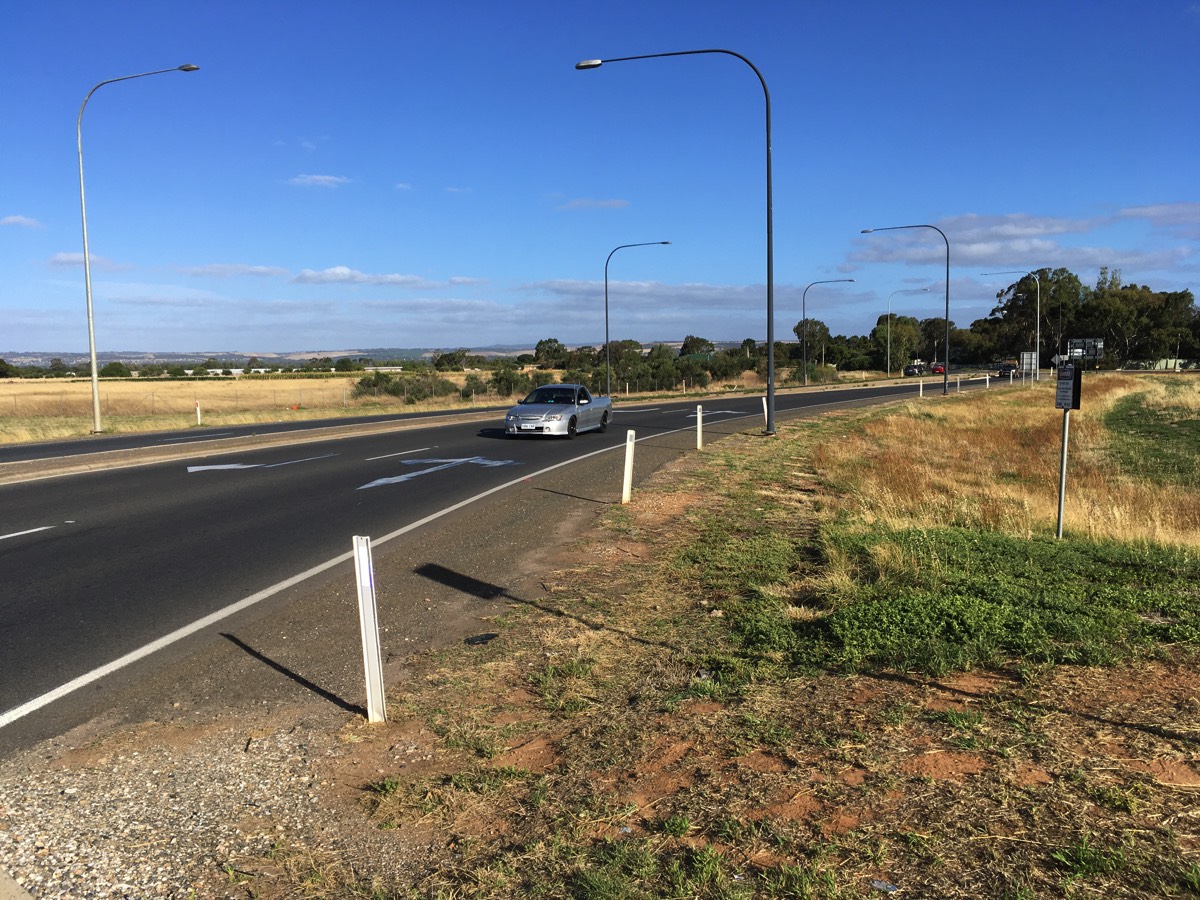
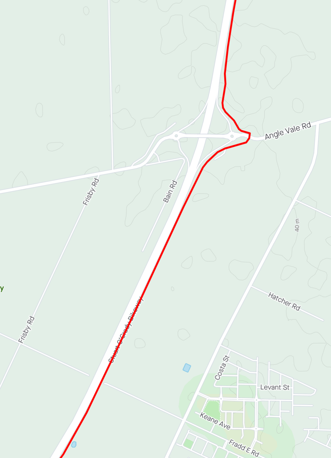
Angle Vale Road
You have now covered 38.4 kms.
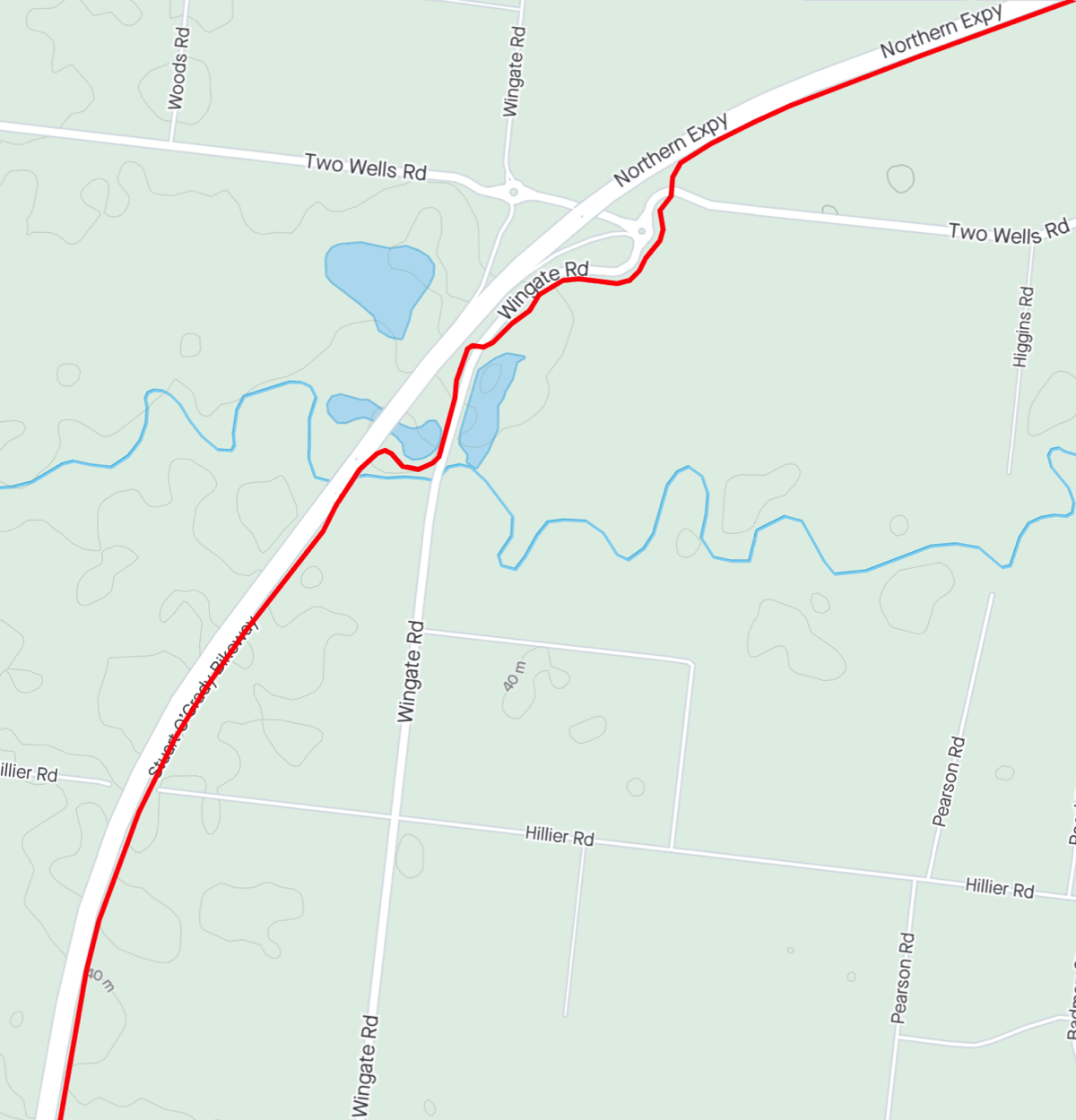
Gawler River
Continuing towards the Gawler River. After the bikeway crosses the bridge it takes a couple of turns down to run parallel to Wingate Road.There is a lot of shrubbery through this section that impacts on sight lines. Be careful of cyclists coming in the opposite direction who might have drifted across the "centreline".
The two road crossings, Wingate Road and Two Wells Road, have obstructed visibility. In Wingate Road's case it is again shrubs, while the property next to the Two Wells Road crossing has a high stone wall which limits visibility down Two Wells Road until you are right at the road.
You could continue on Two Wells Road from here but you've come this far on the bikeway so why not do the full Strava segment?
Crossed the bridge
Shelter but no water
Wingate Road is on a floodway so it has gates and the path bollards to stop vehicles if the gates are shut (the path itself doesn't go over the floodway).
Wingate road
Approaching Two Wells Road
Looking right at Two Wells Road
The trotting track
Originally the Stuart O'Grady Bikeway continued straight rather than take a right hand turn next to the trotting track. Some of the path still exists but I don't think it has an open exit point any more.
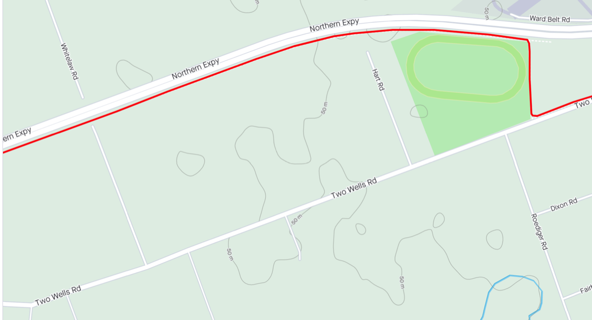
Right hand turn here
End of the Stuart O'Grady Bikeway
The bikeway runs alongside Two Wells Road and ends at the slip road onto the Gawler Bypass.
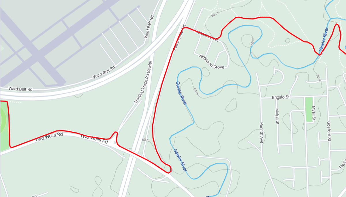
Return to Two Wells Road and cross over the bridge and go past the other slip road before turning up Paternoster Road. For what they are worth it is marked with "sharrows". Turning down Richardson Drive there is a sealed path off to the left (after an unsealed one). The path drops away from the U bar (would be steep for a pram). Follow the path to the left and then keep to right until the bridge over Gawler River next to the railway line.
Once you reach the end of the Stuart O'Grady Bikeway you have covered approximately 46 kms, only four more to go.
Northern end of the Stuart O'Grady Bikeway
Path has two steep drops
(one after the path to the right)
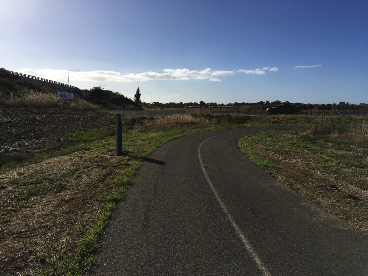
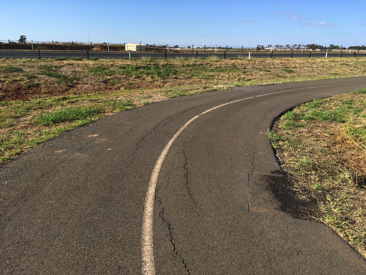
Into Gawler
Cross the bridge and turn left and head under an old freight railway line, and then pass under the Gawler passenger railway line. Turn right after the Gawler railway bridge and continue to follow the sealed path along the river. There are two very narrow pedestrian bridges that cross the river closer to the town centre so bicycles are pretty much forced onto the road if you want to head back to the railway station. The council wants to replace the one near the end point of my ride but hasn't got any funding to do it yet.
Path leading to the bridge
Cross the bridge and turn left
Gawler
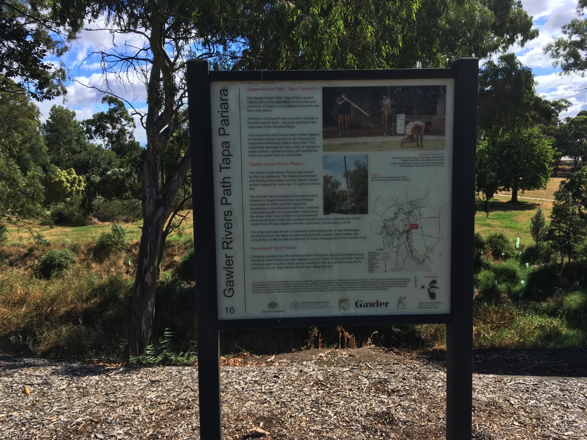
The paths following the river are named "Tapa Pariara" (path along the river in Kaurna).
You're now in Gawler after riding about 50 kms. It's probably time for a beverage or two.