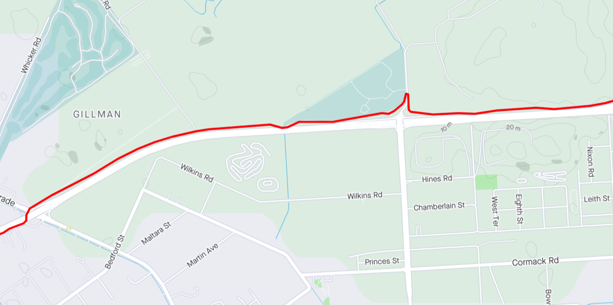
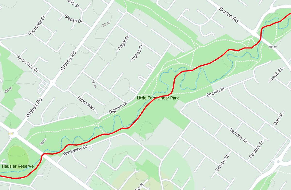
Port Adelaide to Gawler
via Little Para Trail and DSTG/RAAF Edinburgh
A friend in Semaphore had suggested that he would be interested in riding to Gawler once the Gawler train line was running again, and thus giving him an emergency escape route. I was going to just give him some tips based on my rides along that route but then I thought I might as well write it up in case it was useful to anyone else.
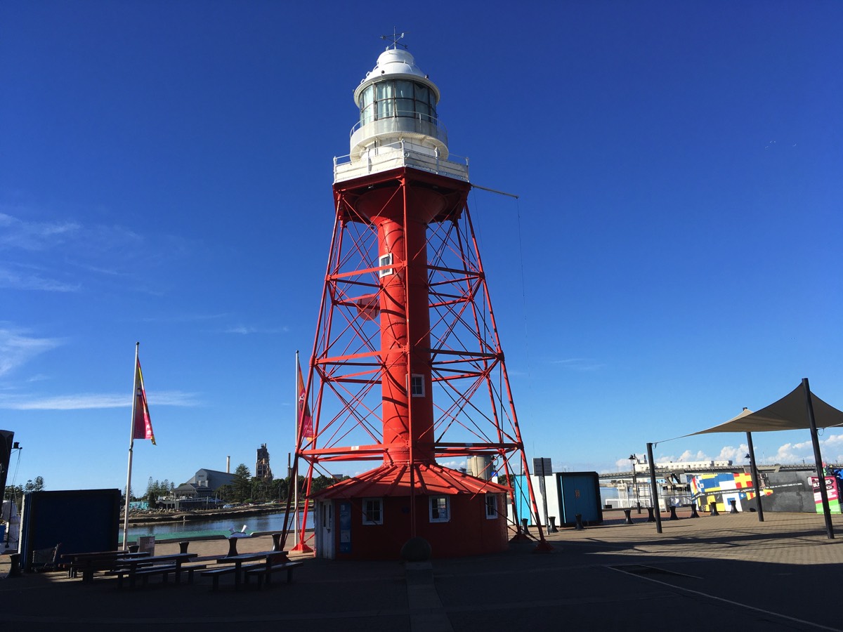
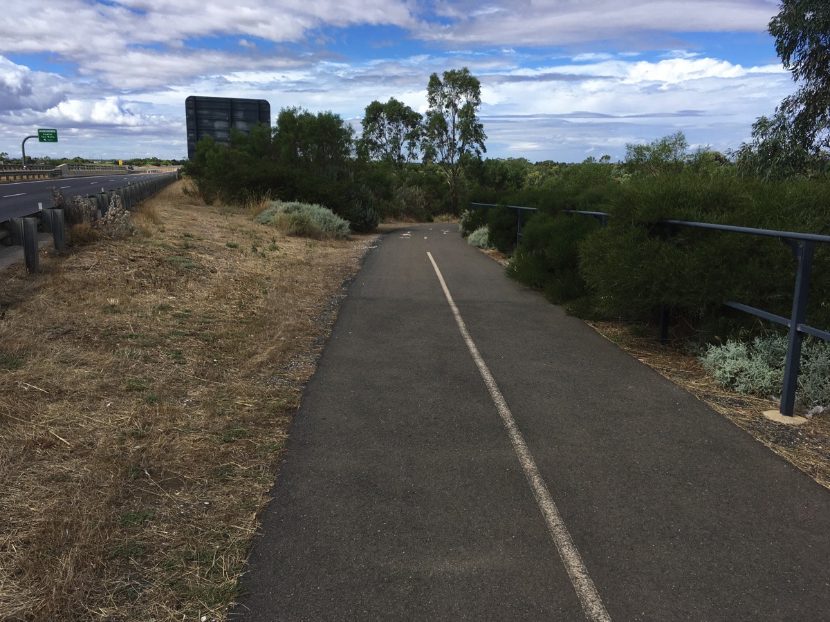
There are multiple options but I'll concentrate on the ones that mainly utilise the bikeway/shared paths as they are relatively relaxing, and you've got to be a little crazy to ride Main North Road. The obvious place to start, at least to me, is the Port Adelaide Lighthouse. If you are actually riding from Semaphore you could avoid coming into the centre of Port Adelaide by riding along Semaphore Road and then use the shared path to cross Tom 'Diver' Derrick bridge.
Note: There are very few opportunities to fill a bidon on this route so make sure you have enough water when you start off, there is a fountain in Lipson Street.
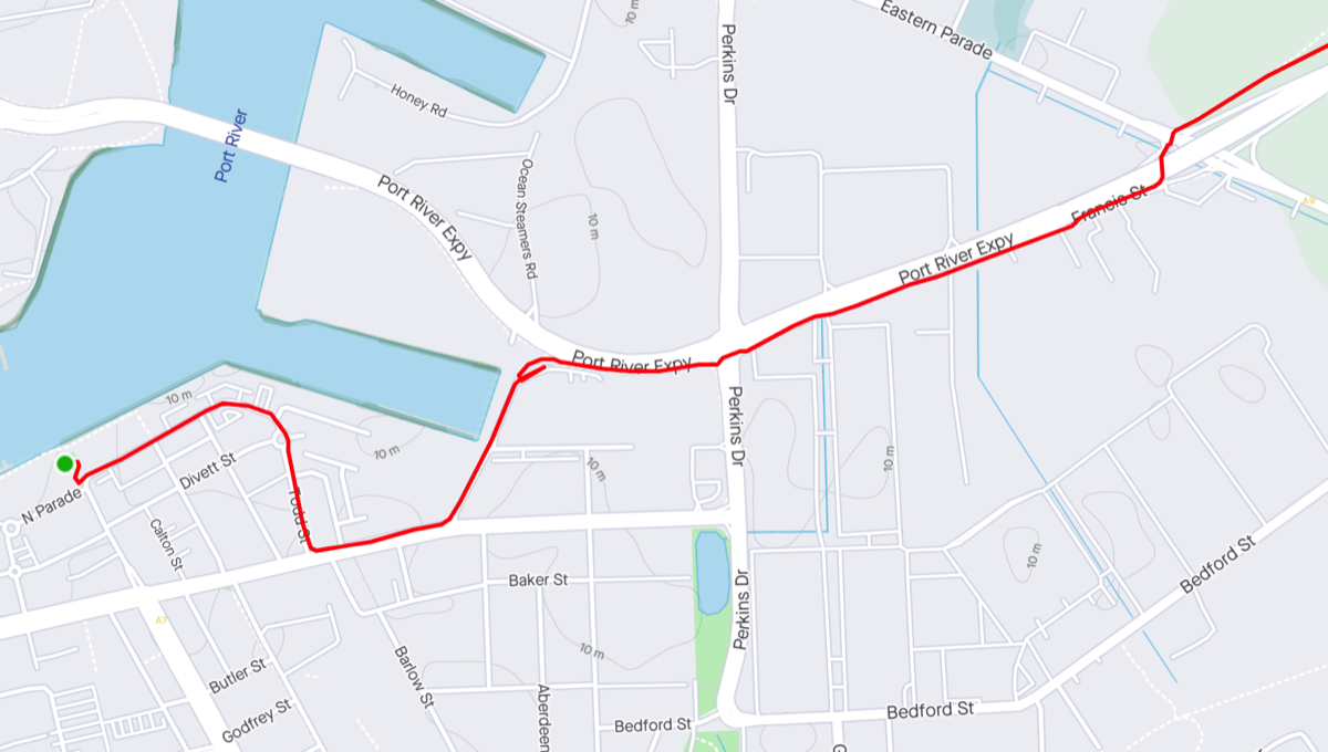
Port Adelaide to the Port River Expressway
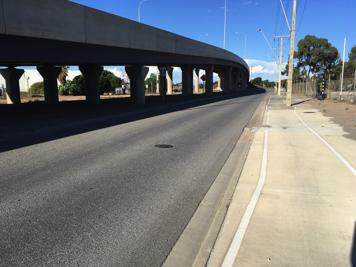
I usually just ride down Todd Street and the head east along St Vincent Street and then turn left onto Perkins Drive. One day it might be possible to ride along the wharf to Wauwa Street but not yet. If you go up Wauwa Street then you need to go across the dirt to connect to the shared path just after the approach to Tom 'Diver' Derrick bridge, the tarmac road doesn't connect to it sadly.
At the intersection of Perkins Drive and the Port River Expressway you could cross the intersection and make a right turn onto it and ride down to the slip road before the bridge over the railway line and to Eastern Parade but it's better to cross with the pedestrian lights and follow the shared path. Lots of green segments where driveways cross the path though. At the Eastern Parade bridge the southern slip road becomes two way before the railway line and rather than negotiate the pedestrian maze and continue on that path escape to the road and follow it under the bridge.
Waiting to cross Perkins Drive
Time to escape the path and ride on the road for a bit, it goes under the bridge after the railway line
Port River Bikeway
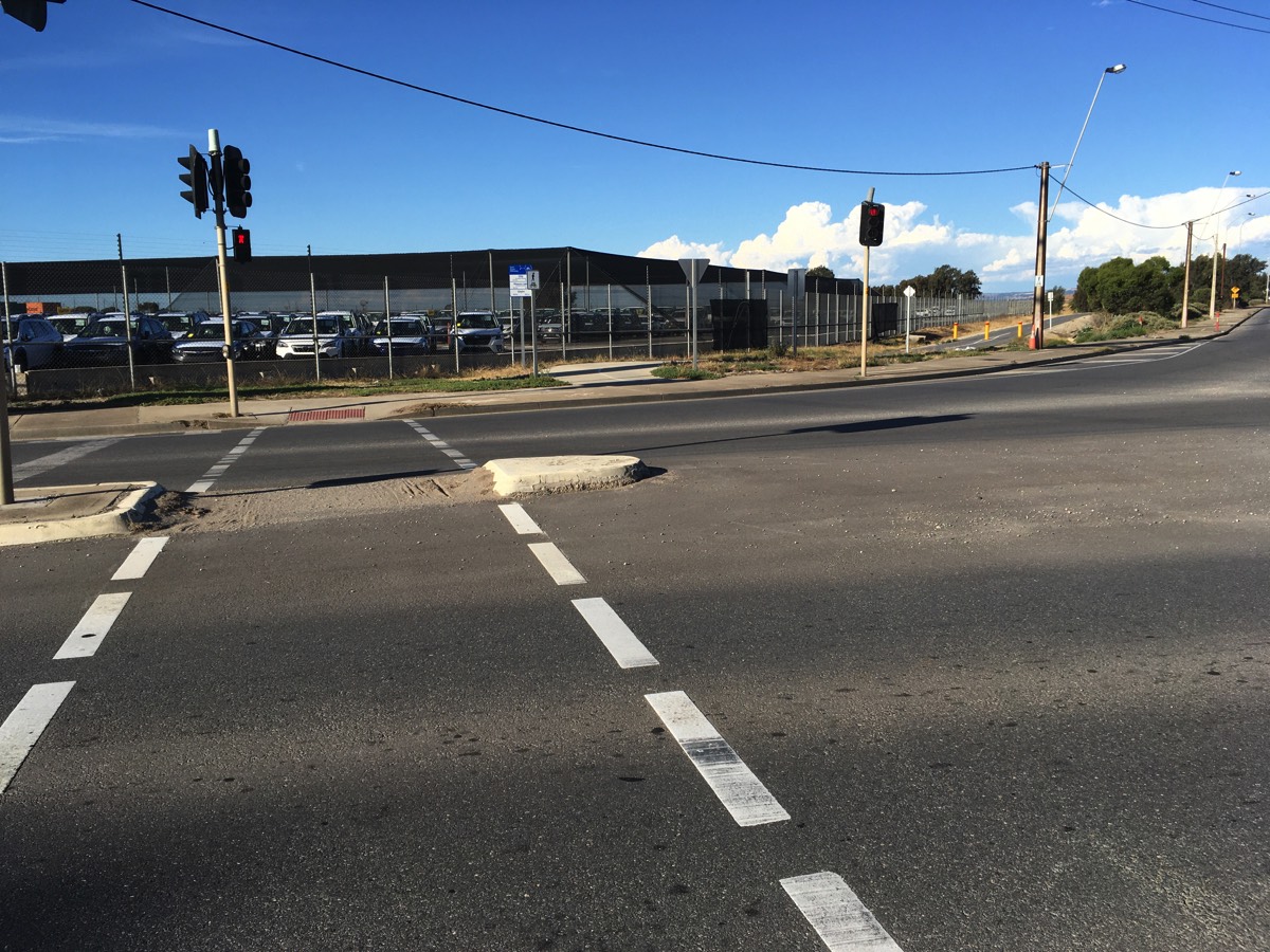
At the traffic lights with Eastern Parade you can cross and get onto the Port River Bikeway shared path. This is then an uninterrupted ride to the Hanson Road intersection. The road provides access to the waste and recycling centre so traffic using it should be low but it will be trucks so take care with the crossing (also there are bollards on both sides).
Crossing Eastern Parade
I really wish the path from the road ramp to the Port River Bikeway was just a sweeping bend
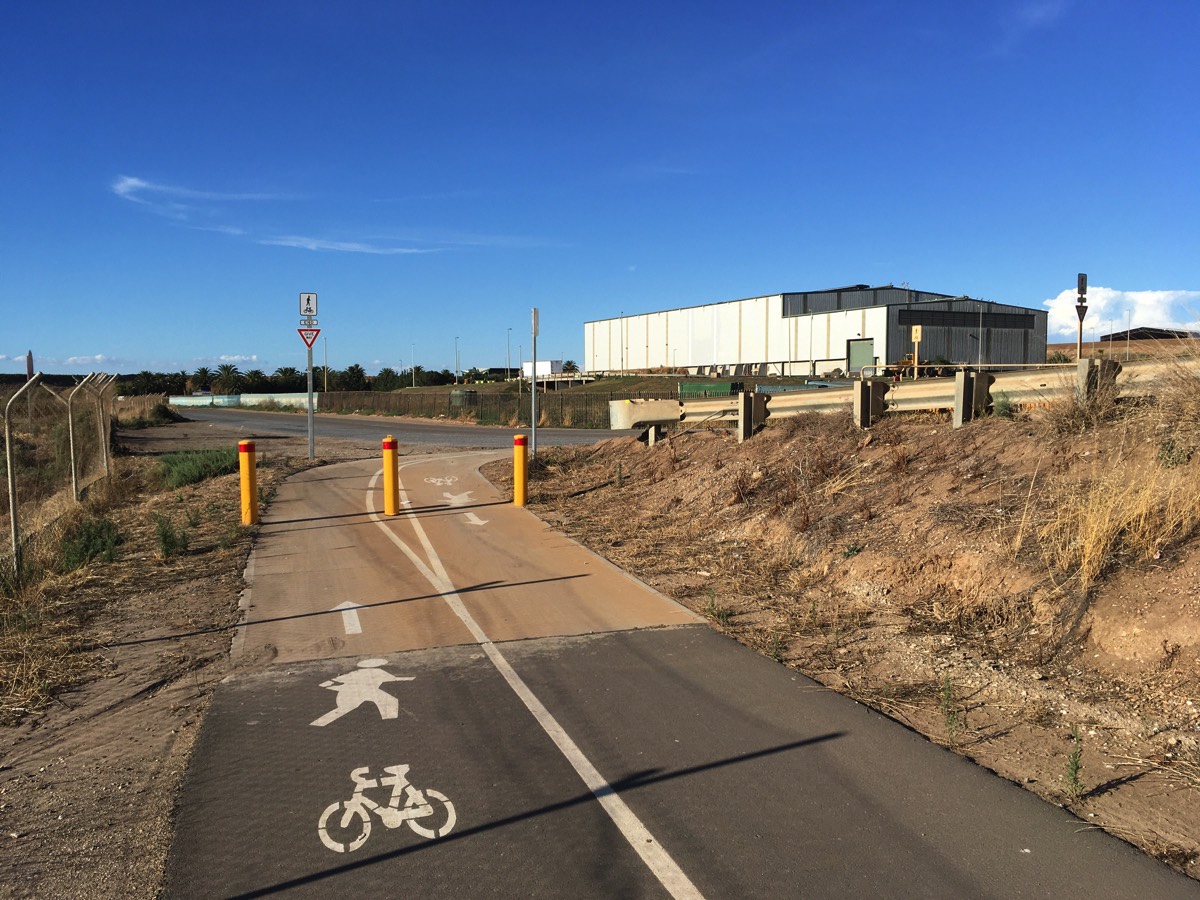
Hanson Road bollards
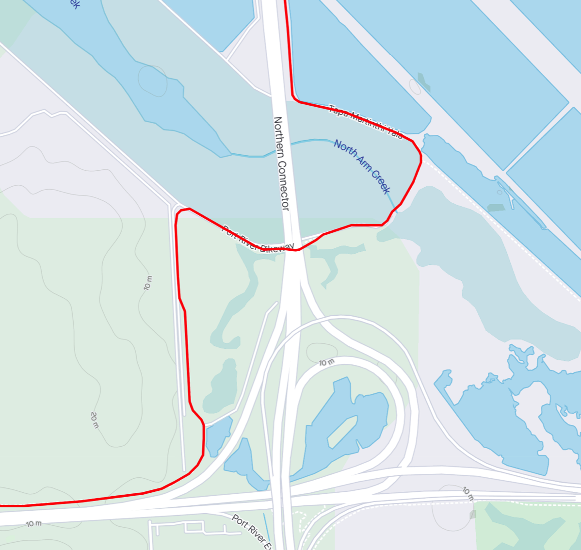
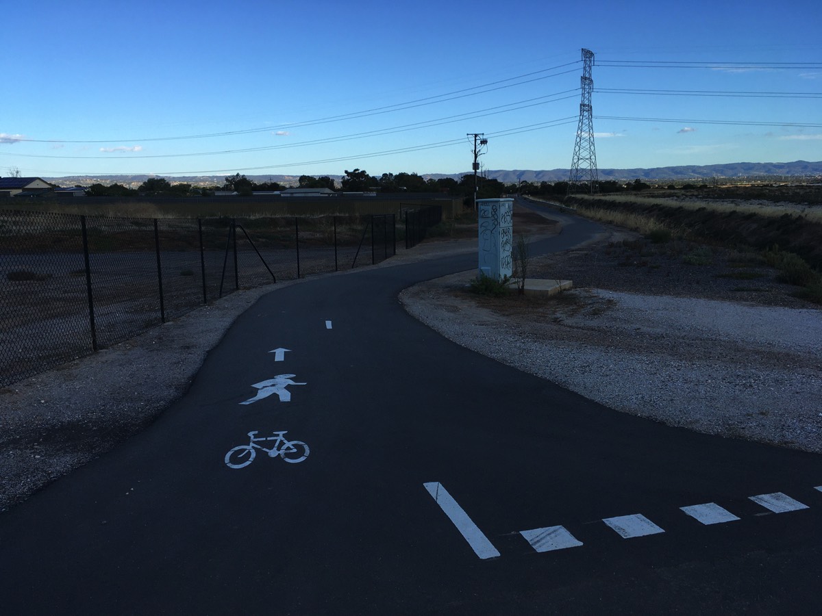
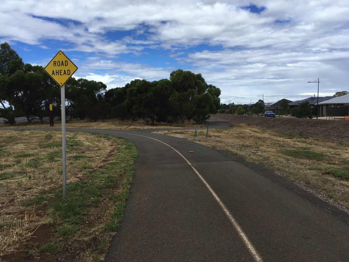
Salt Pan Junction
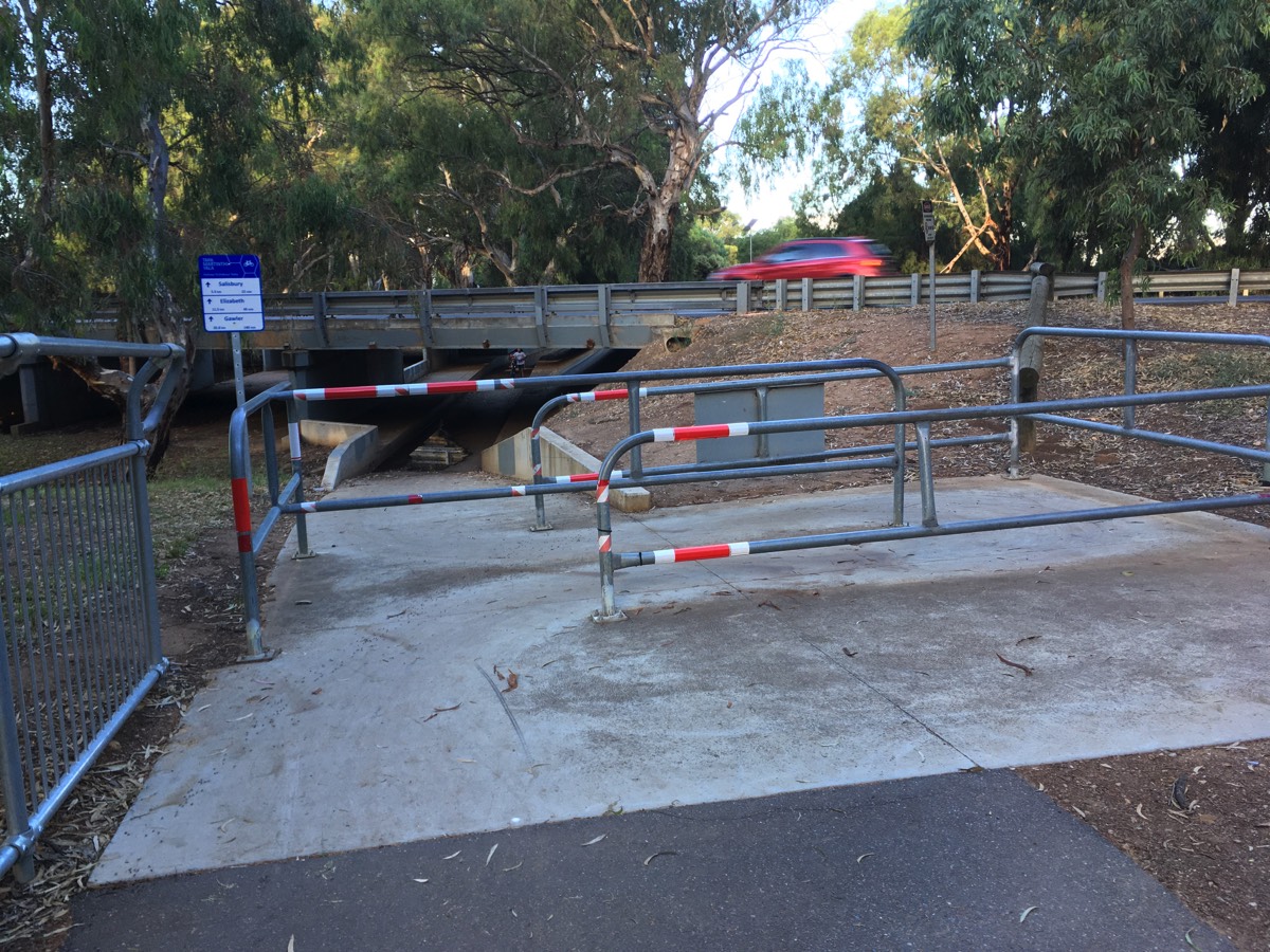
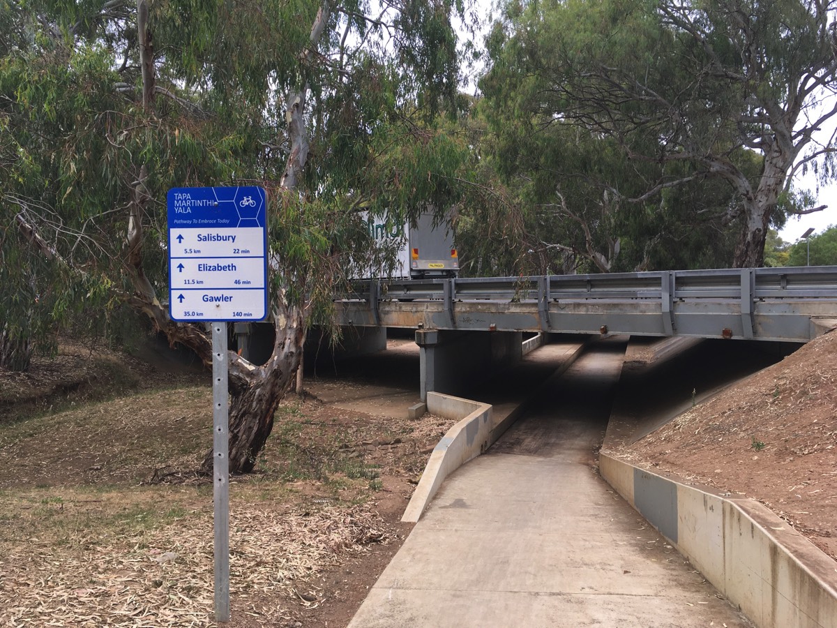
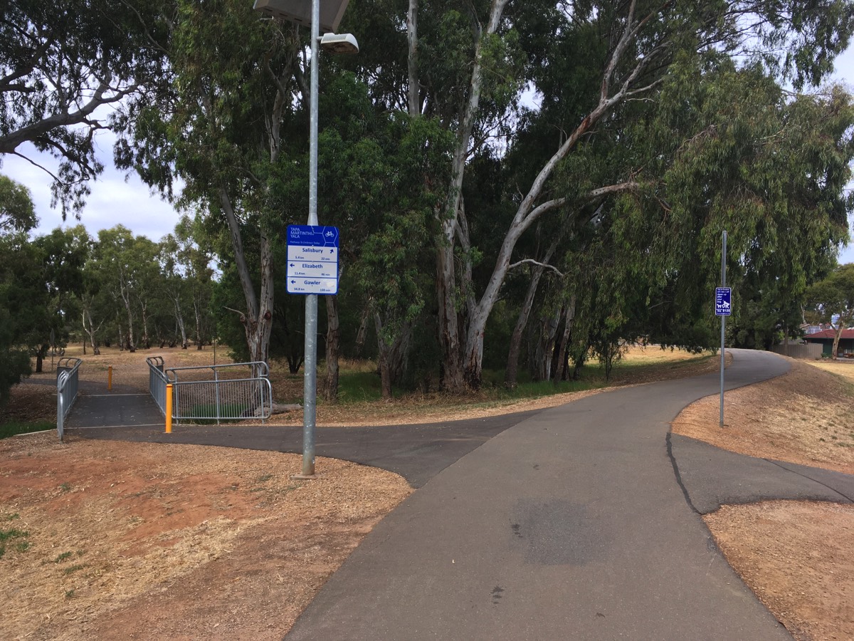
The Port River Bikeway continues towards the Port Expressway, South Road, North South Motorway, Northern Connector, Salisbury Highway interchange. Fortunately there is no need to worry about the roads as the path turns north next to the waste and recycling centre and then passes under the motorway. I've never seen water in this underpass. Keep following the path and you will reach "Salt Pan Junction" where there is a small shelter on a mound of dirt and a path heading back towards Salisbury Highway. Don't take that path, turn to the left and keep following Tapa Martinthi Yala (between the Northern Connector and the salt pans).
You've travelled about 7.5km once you've got to Salt Pan Junction.
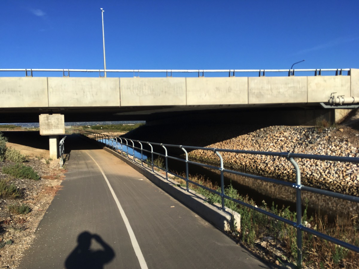
Under the Northern Connector
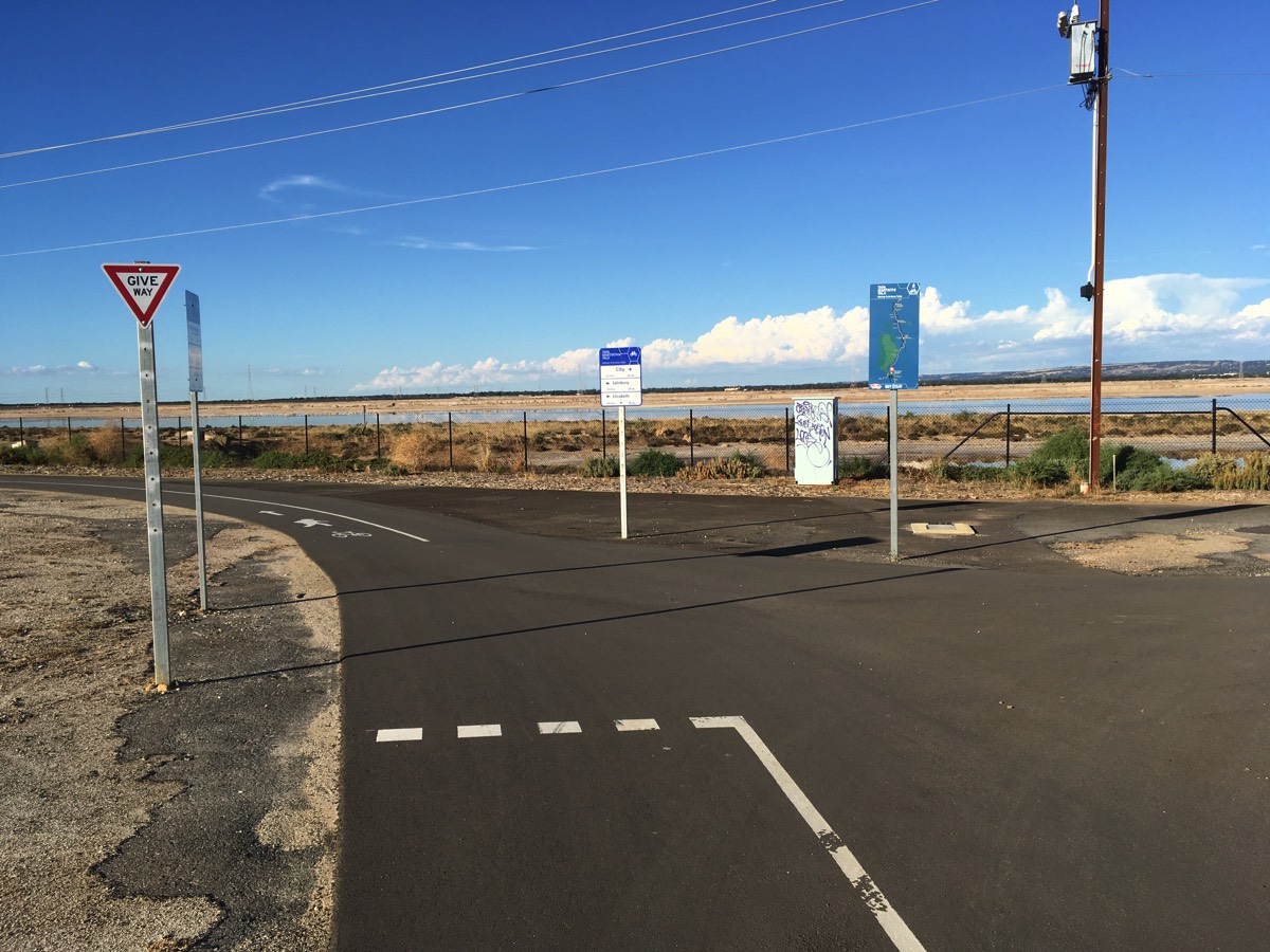
Start of Tapa Martinthi Yala
Turn right for Gawler Greenway to the city
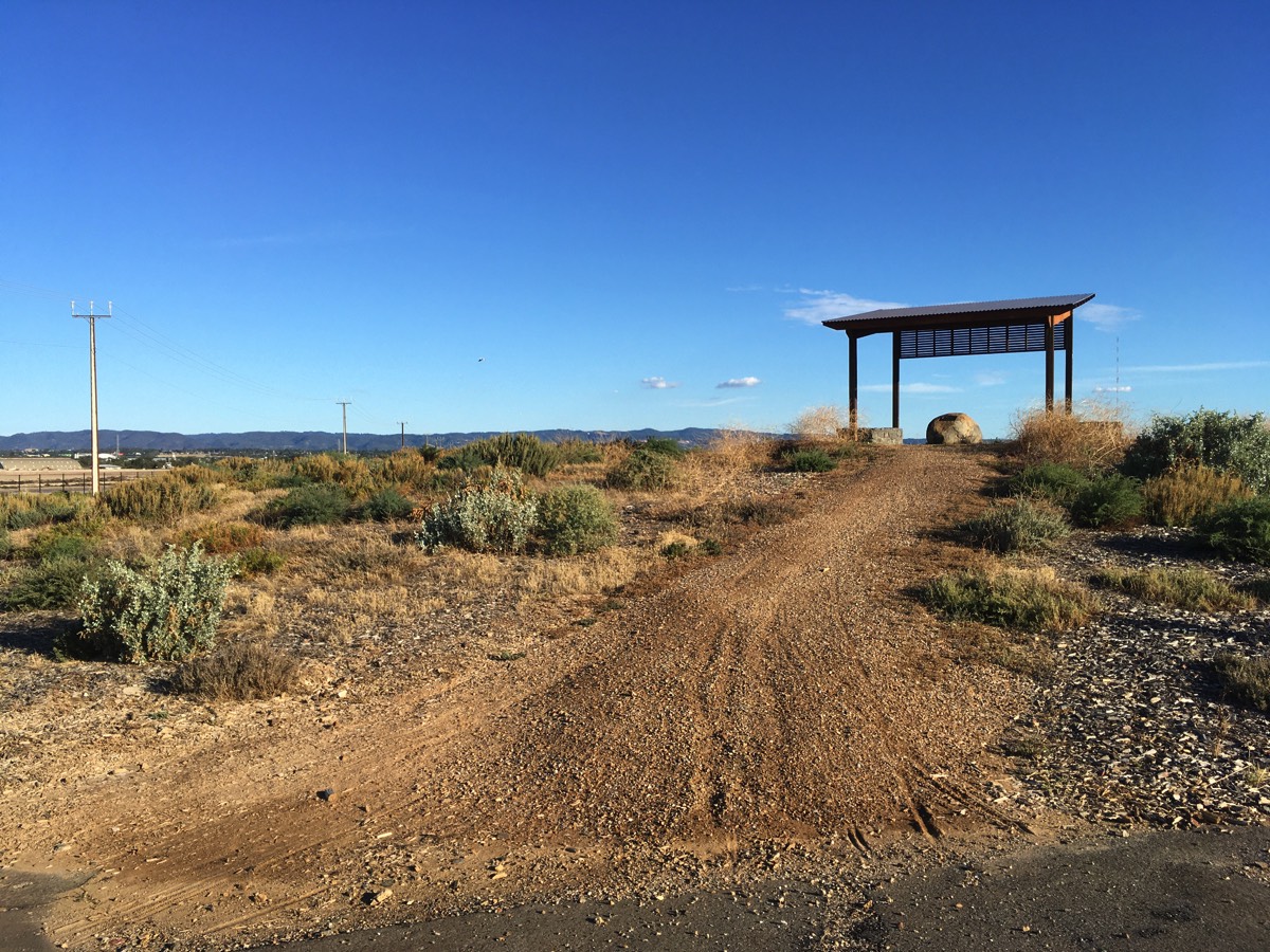
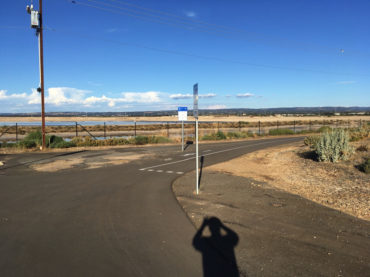
Shelter for birdwatching but no drinking water
Across the salt pans
The Tapa Martinthi Yala is quite exposed and so when the wind blows across the salt pans it can be unpleasant.
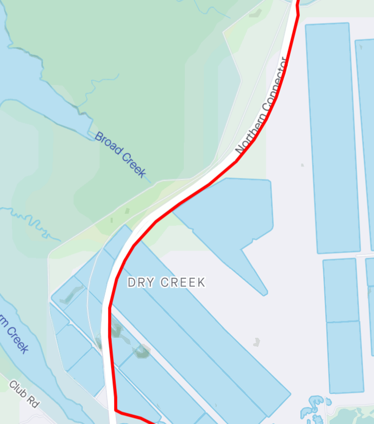
Dry Creek Trail
After crossing Dry Creek there is a path to the right that goes under the bridge. At the moment the sealed path ends on the other side of the bridge but a dirt path continues towards St Kilda although it's not clear if it's a private road or not.
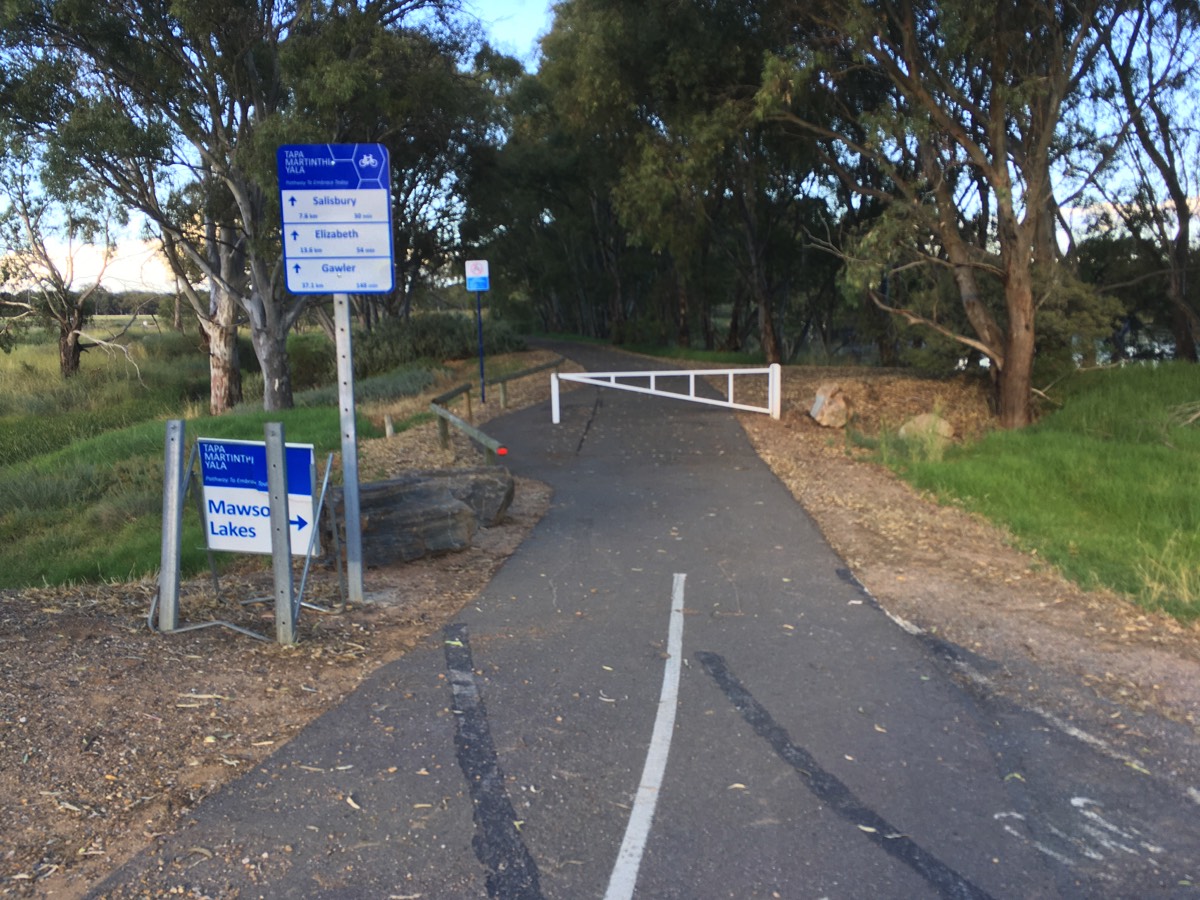
A bit further is another sealed path to the right, this is the Dry Creek trail to Mawson Lakes.
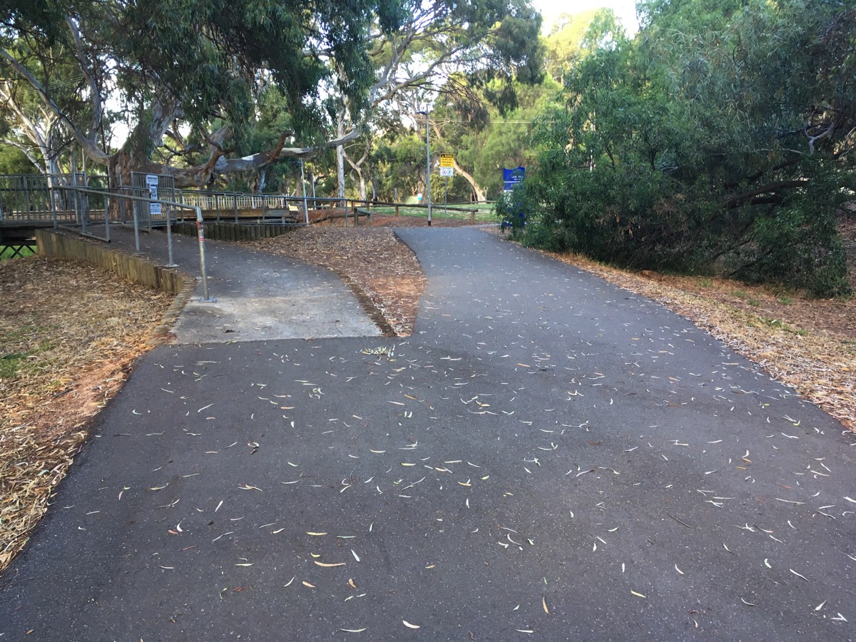
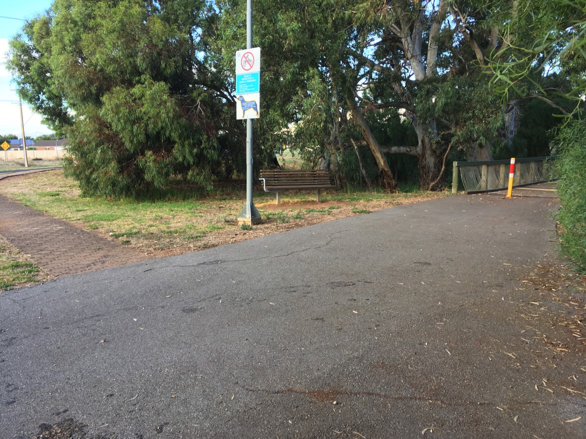
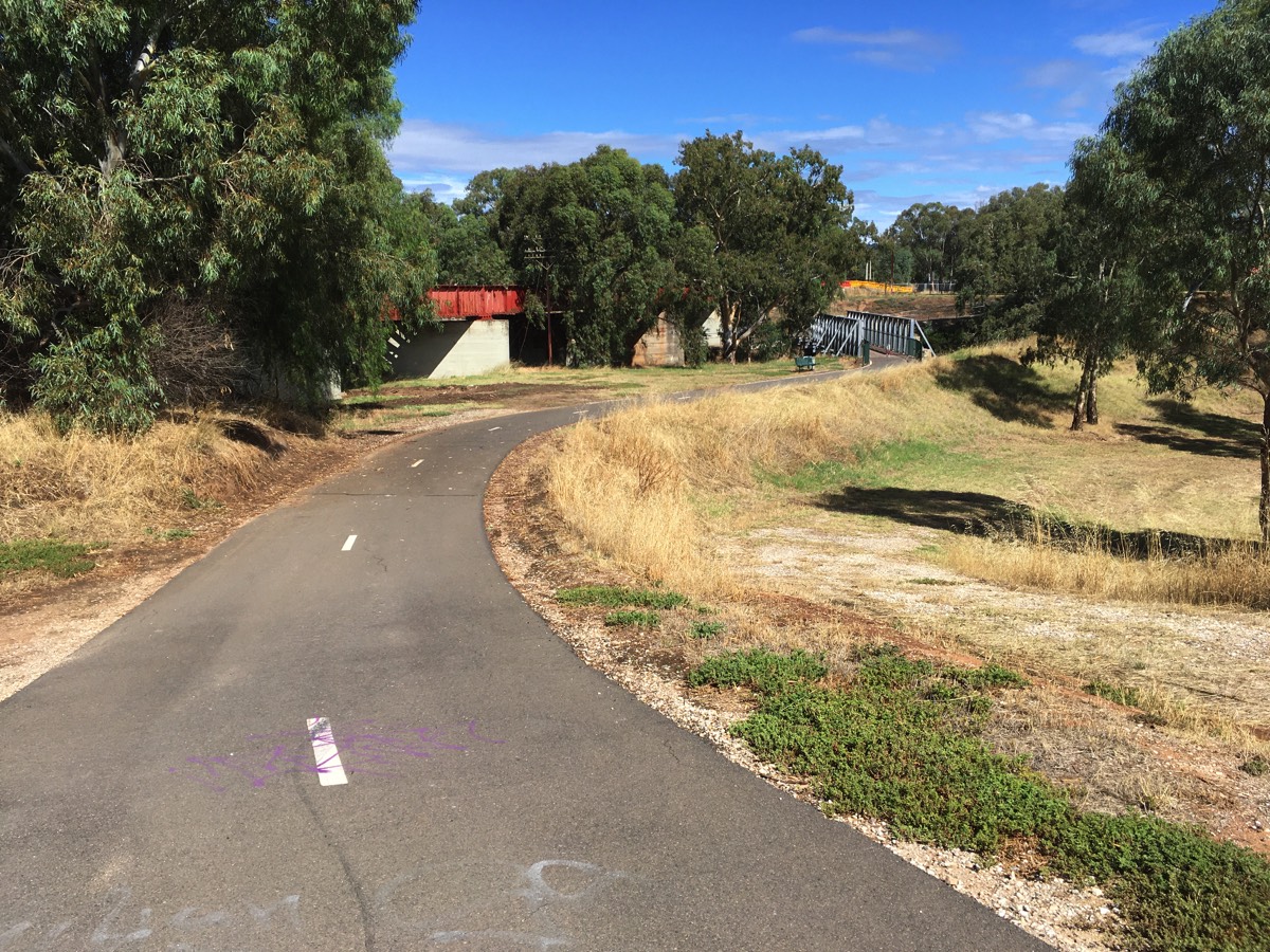
Continuing on the Tapa Martinthi Yala it merges with the Little Para Trail. There is a gate across the path but a gap to the side provides access. It's not clear what the council is trying to keep out here. To the right is a short cut to the Dry Creek Trail if you are coming from the north. Once past the gate the path meanders through the Whites Road and Little Para Wetlands.
You've covered about 13 km once you're at the gate.
No signage on path to nowhere
Dry Creek Trail to Mawson Lakes
Swerve around the gate
To the Dry Creek Trail and Mawson Lakes
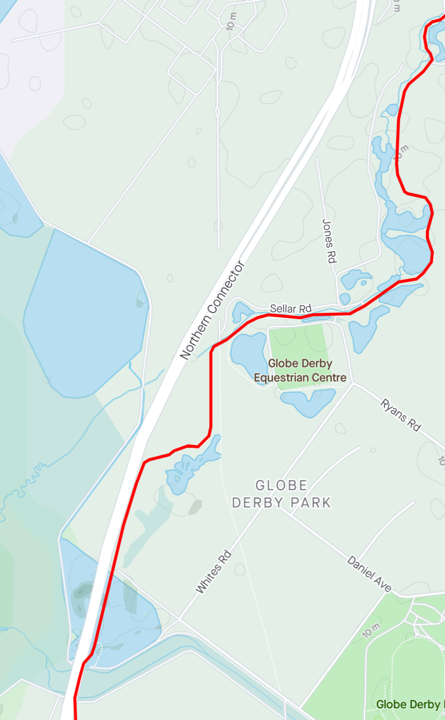
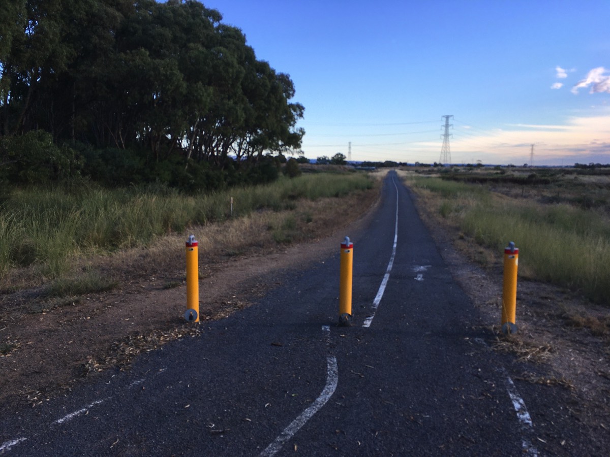
Bolivar Interchange
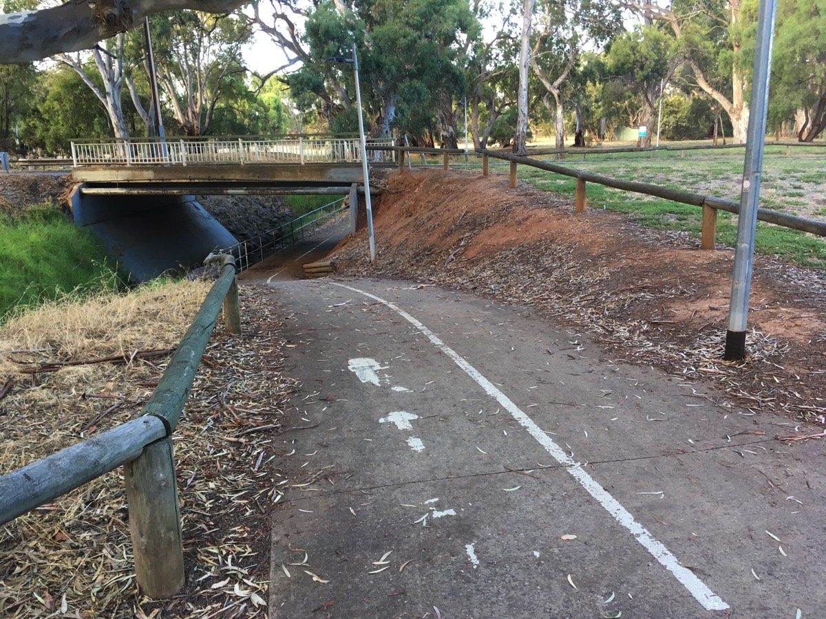
Rather than have the Tapa Martinthi Yala continue north it is forced to cross under the Port Wakefield Road and then later cross back again.
Leading to the culvert crossing there is an "anti-motorcycle" barrier. Negotiating it with a cargo bike or a recumbent could be a challenge. The barrier on the eastern side of the culvert is slightly less of a disaster.
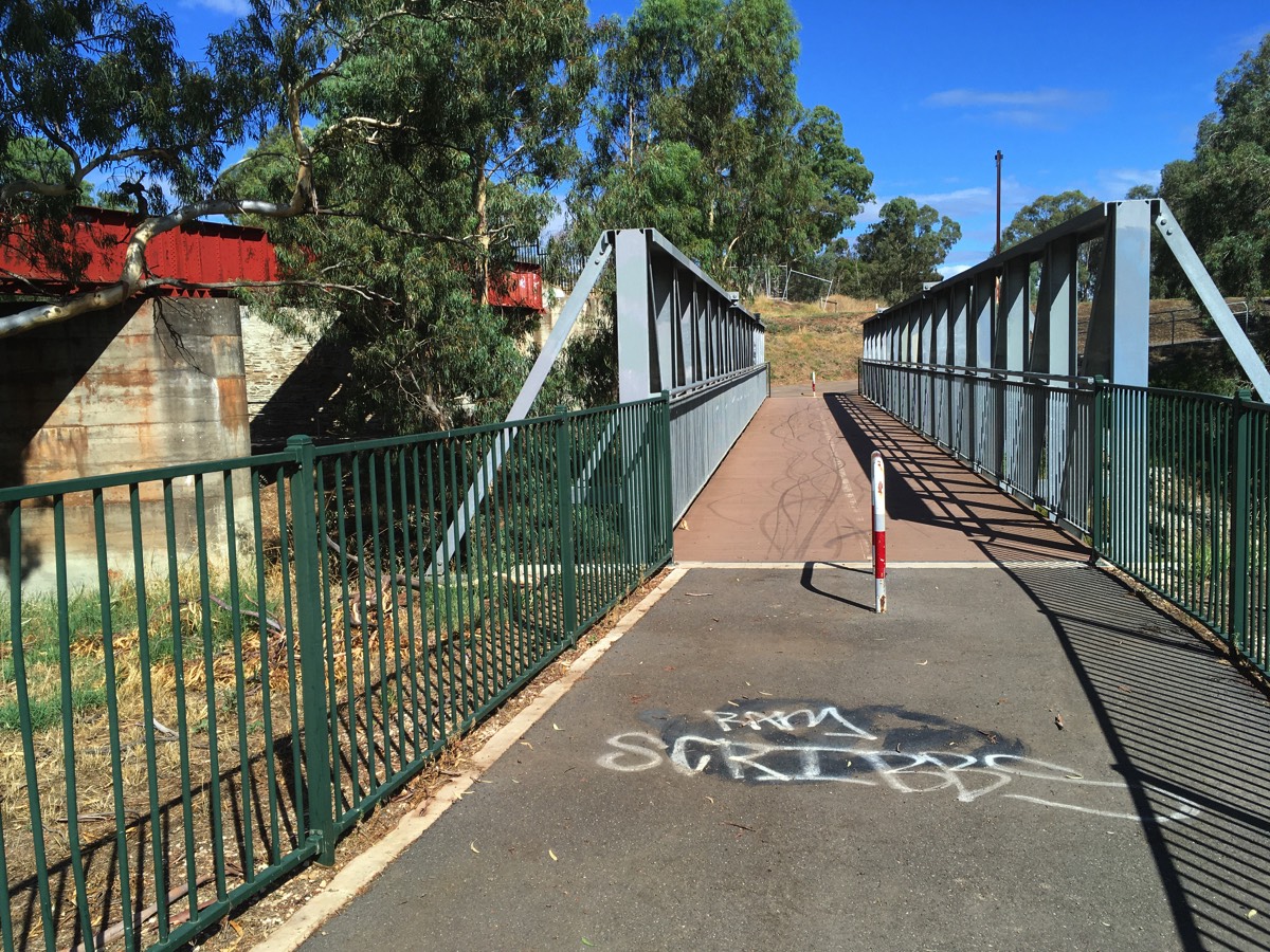
Shortly after the barrier there is bridge on the left. If you are continuing on the Tapa Martinthi Yala you should take the path across the bridge but we are going to continue on the Little Para Trail.
The Stava segment here is called "wiggly corners" for good reason. It's on top of an embankment and has some sharp corners with other riders, joggers, dogs, etc appearing suddenly.
Approaching the underpass of Kings Road don't get confused by the path leading to the pedestrian bridge on the left, or later the exit to the road on the right.
The anti-motorbike barrier
The culvert under Port Wakefield Road
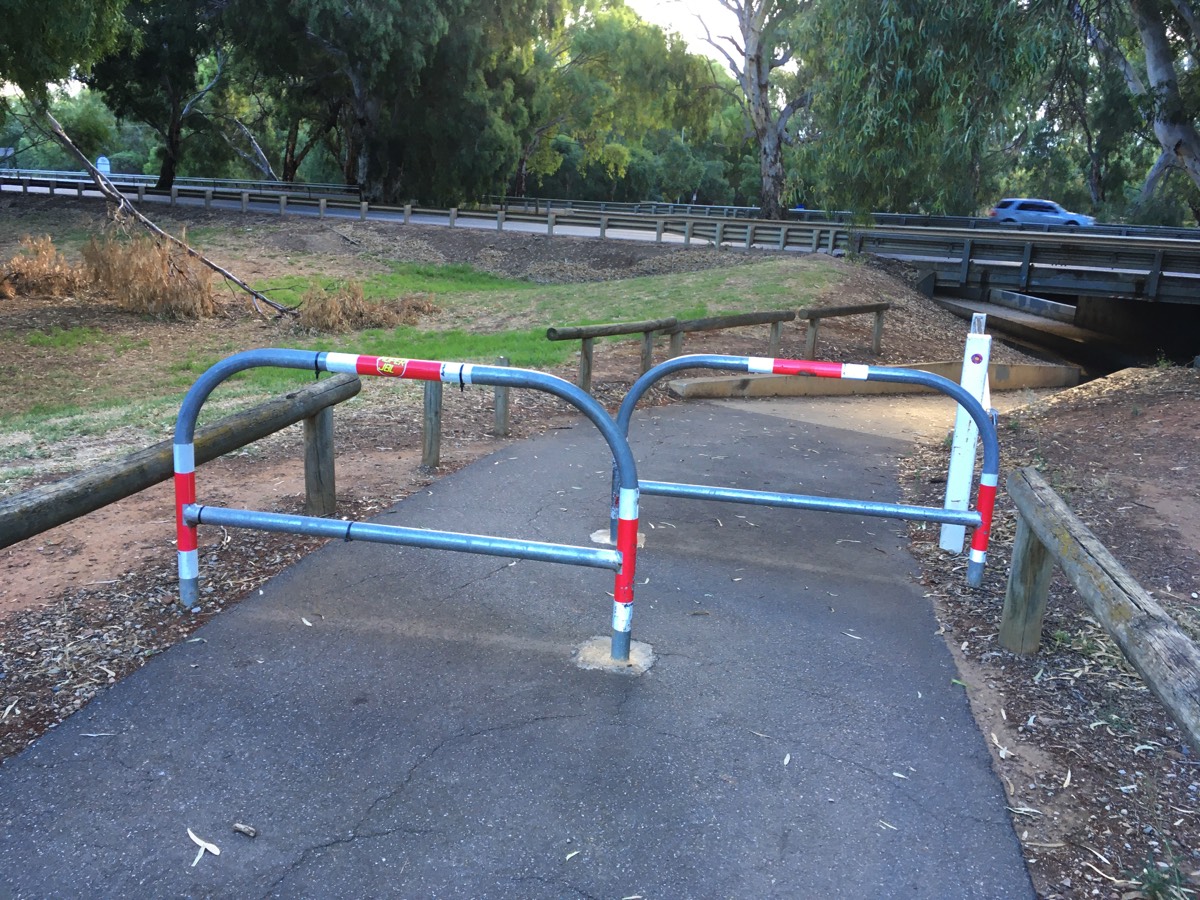
The eastern barrier
Tapa Martinthi Yala continues to the left
Approach to Kings Road, stay right
And down
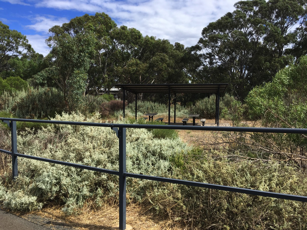
Diversion for water (if required)
You are close to one of the few places you can fill a bidon along the route.
After crossing the bridge there is a gravel trail to the right (ignoring the one immediately at the bridge). Follow this path and turn left when you come to another path and there is a water fountain next to the shelter in the small park along this trail. It's also possible to reach it via Walpole Road and Broadwalk Drive if you want to keep to the tarmac, although there is still gravel at the end to reach the shelter.
Path from the road to the shelter
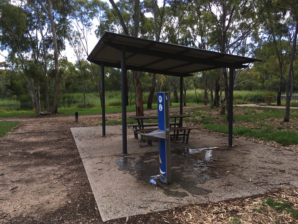
Shelter and water
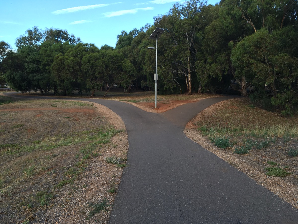
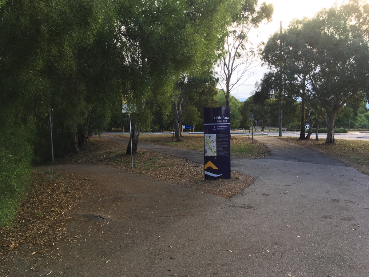
Little Para Trail
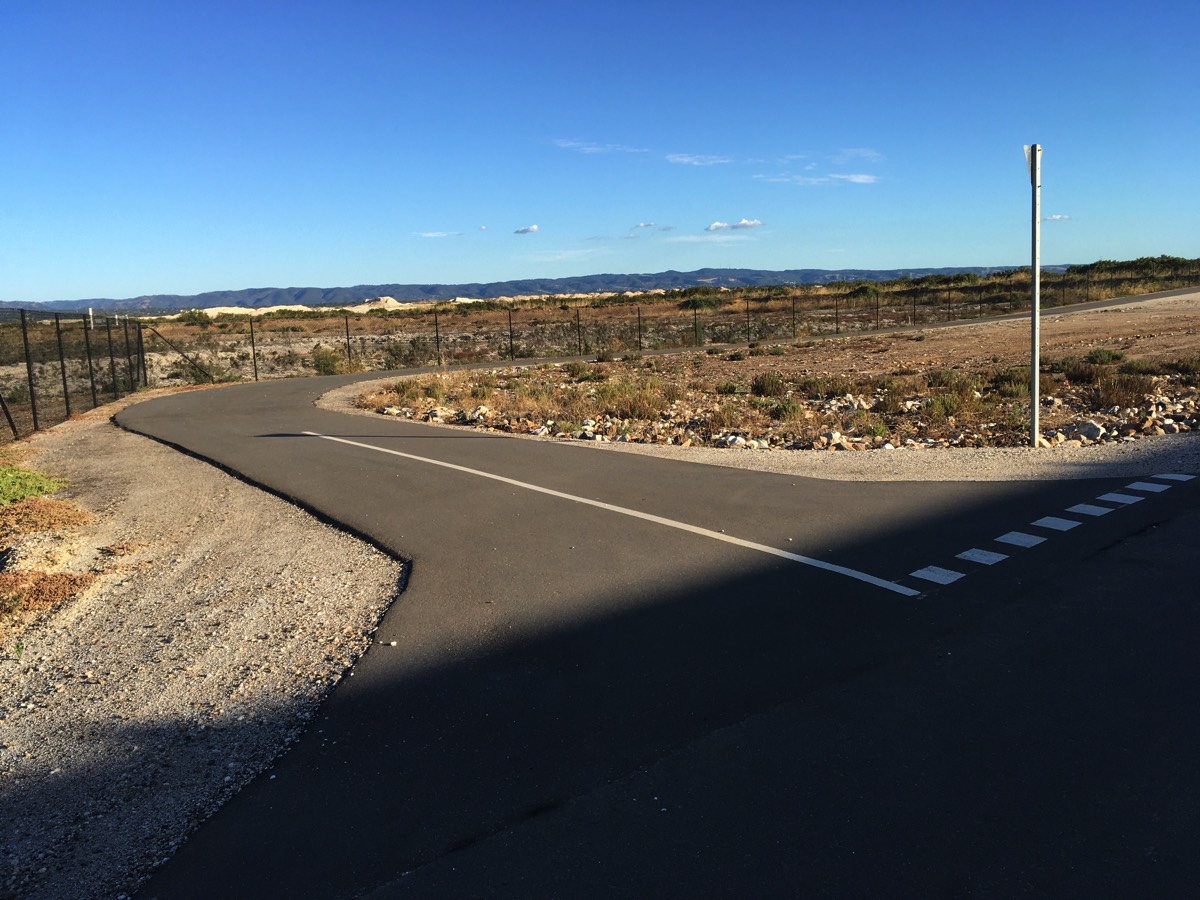
Mostly uneventful between Kings Road and Burton Road. The approach to Burton Road can be non obvious as the path exits to the roundabout on Burton Road (via a gate) as well as using the underpass.
Take the right path
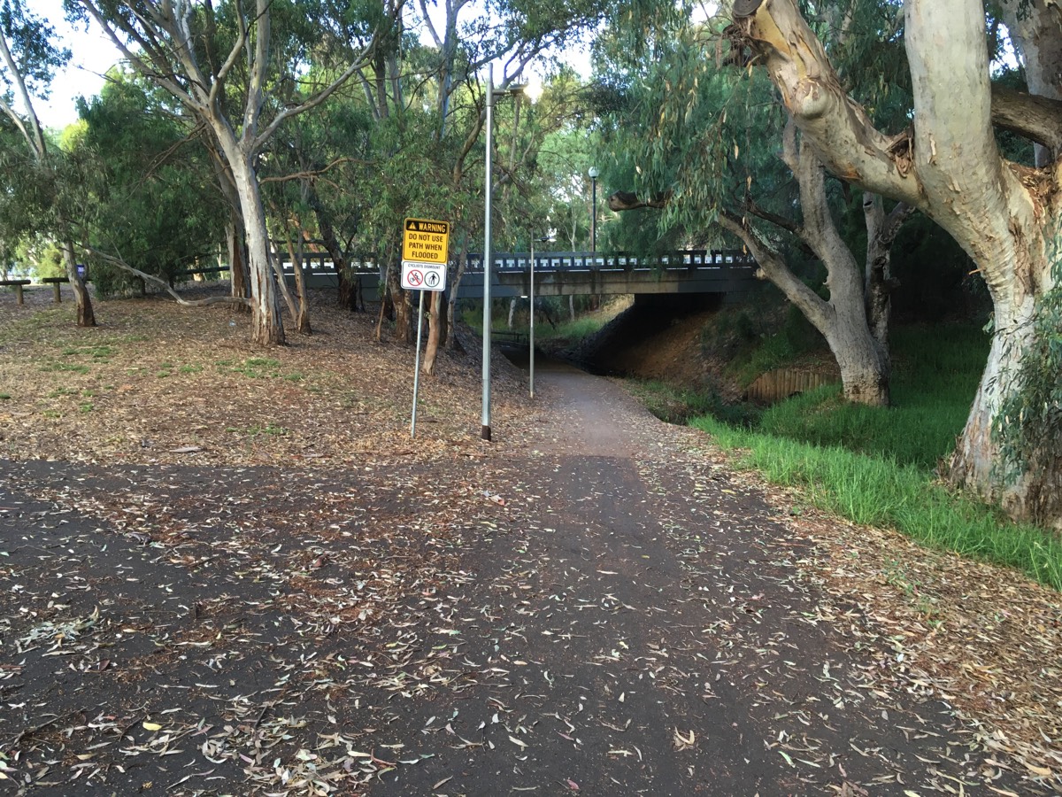
Another underpass filled with crap
Turn right and over the bridge
If travelling south, choose the first turn and avoid that bump. The other paths head for the road.
Martins Road
You can exit the path at the small roundabout that provides access to the Salisbury Par 3 golf course but I usually continue until the road bends away from the trail. Martins Road is relatively narrow between Burton Road and the bend so some cars will try to pass you without giving you room (because there isn't any).
At the bend there is pedestrian ramp and it's a bit of a swerve to go around the median strip here.
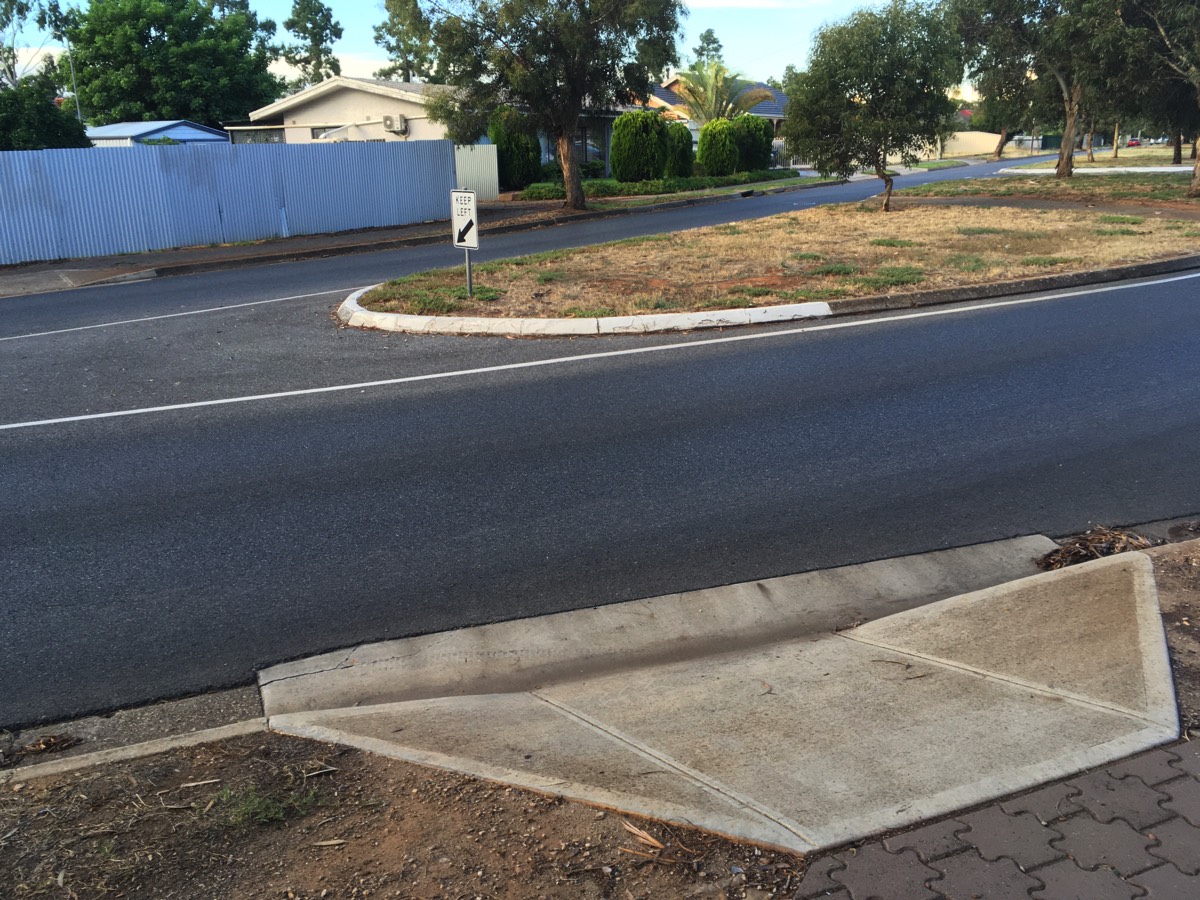
Exit to Martins Road
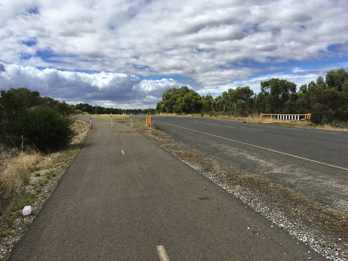
Bagster Road
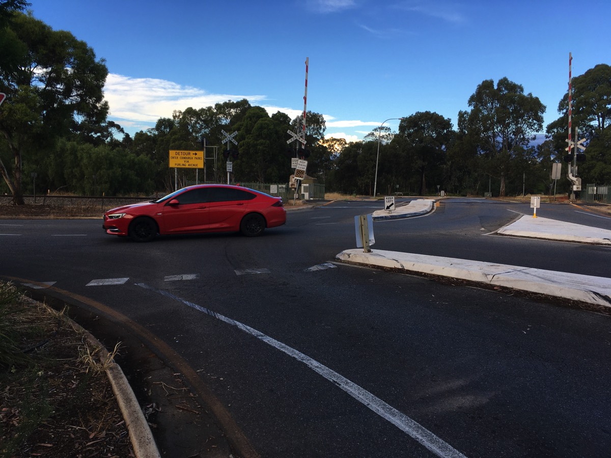
Bagster Road has a couple of small traffic calming roundabouts but the interesting bit is at the end. Just before the freight railway line is a giveway sign as the traffic turning right into Diment Road has priority.
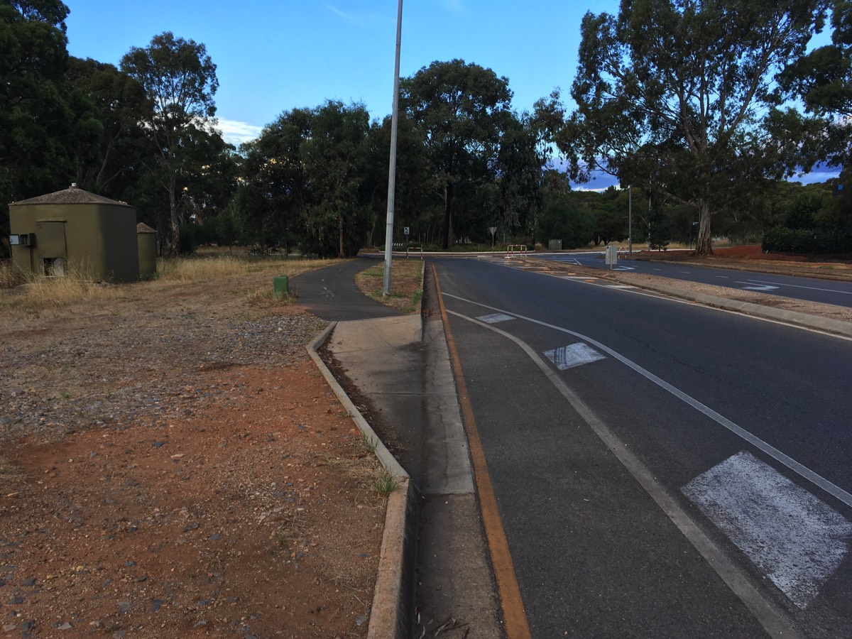
Shortly after the railway crossing there is a cycling ramp to take you to the now disused First Avenue towards DSTG. Motorcyclists sometimes use First Avenue as a drag strip but it's most notable for the "Animal Kingdom" art installation (children's teddy bears tied to the trees).
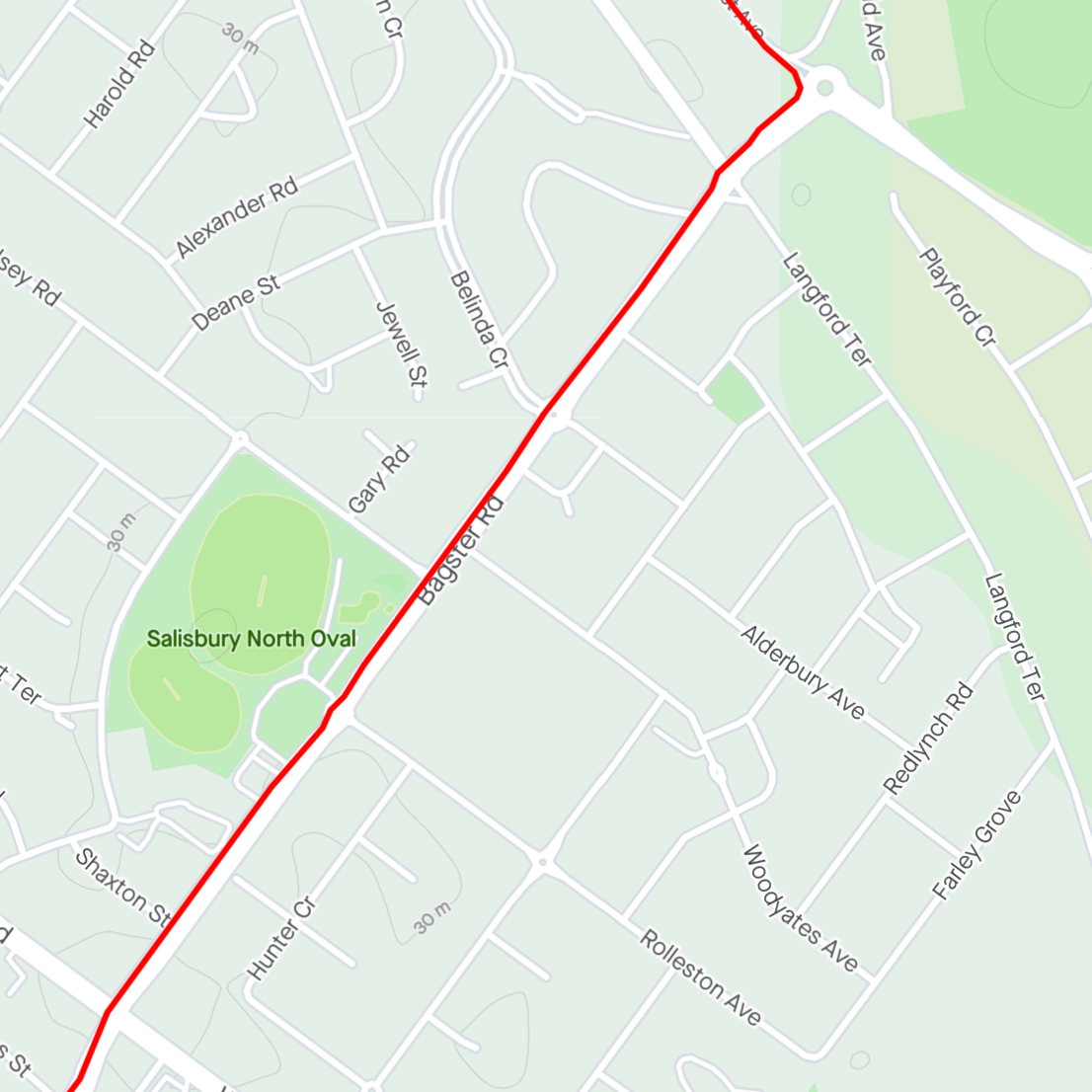
Bagster/Diment intersection
Exit to First Avenue
First Avenue
It's not unusual for First Avenue to have a lot of leaf litter on the road but the motorcyclists sweep a clear path. It's not a council road but they have forwarded requests for a sweep for me in the past.
At the end of the road there is a road branching off to the right. This will take you to a DSTG carpark and it is possible to get through to West Avenue but I think the expected path is to take the shared path to the left.
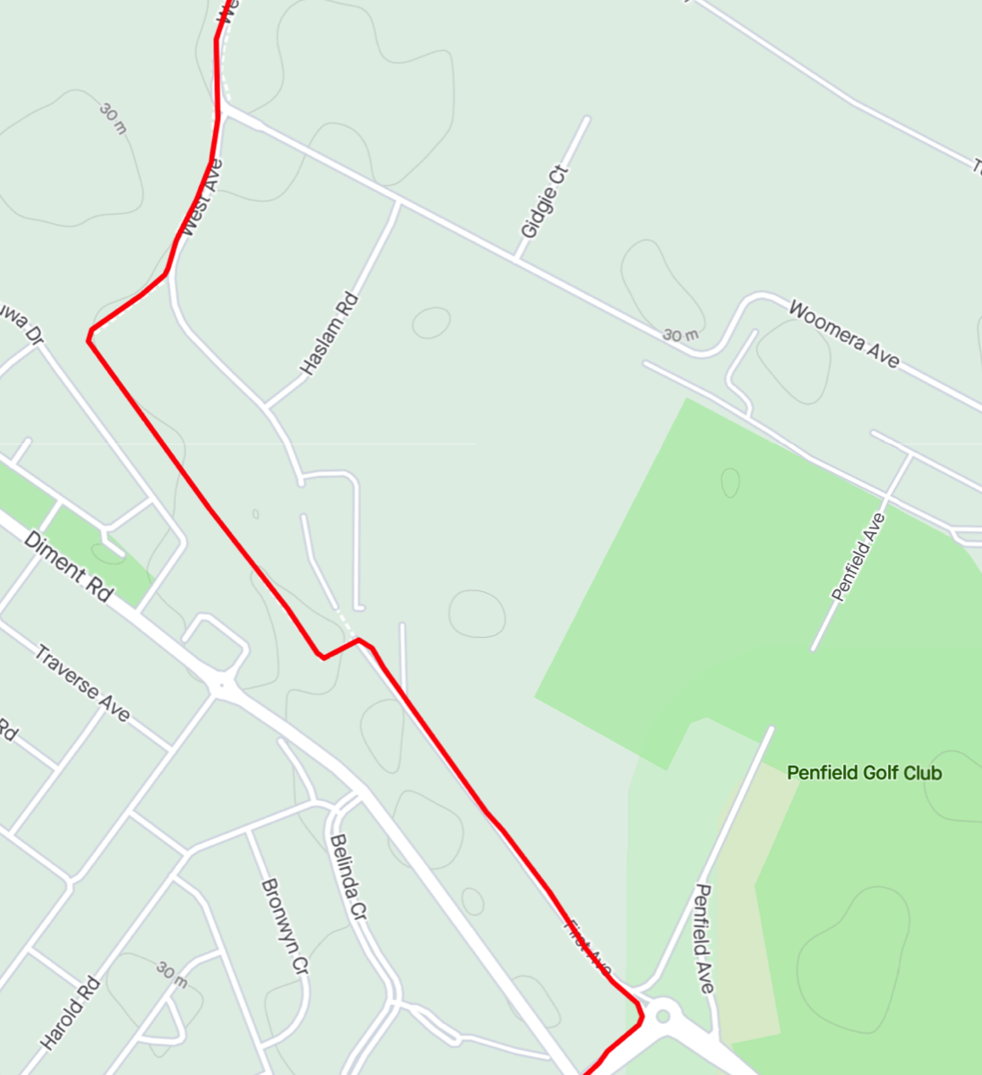
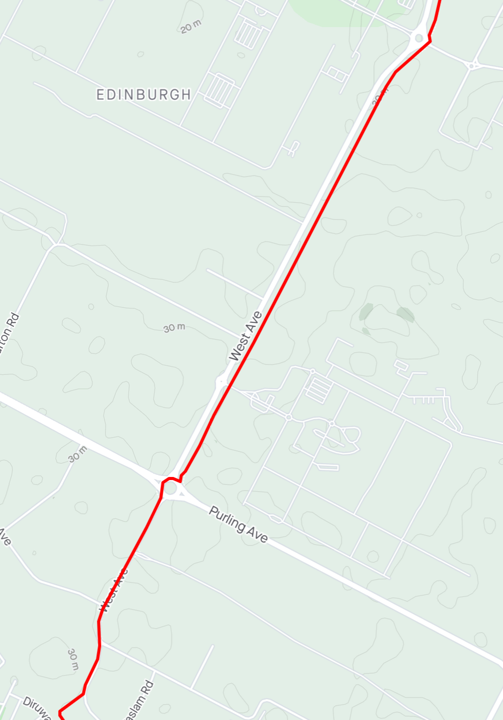
West Avenue
West Avenue has a shared path along it. Prior to Purling Avenue I stick to the road as there is usually a lot of crap on the path, perhaps an indication of how much it is used. After the roundabout is a different matter.
There are a couple of ways of getting around the roundabout. You can take to the footpath on the eastern side and use the pedestrian crossing but I usually use the roundabout. Shortly after West Avenue continues there is the remains of an old slip lane and I dive into it and then use the pedestrian ramp to reach the shared path.
There are a couple of road crossings, notably the entrance to DSTG but mostly it's a straight ride up to the roundabout at RAAF Edinburgh's main gate. The path continues north.
Decision Time
As you approach the roundabout at Bellchambers Road you have a decision to make. You can either continue straight on Stebonheath Road or turn left to Bellchambers Road. Stebonheath is probably busier and has a Drakes Supermarket Warehouse on the corner near Womma Road but the Womma Road intersection is a roundabout. If you take Bellchambers you pass RAAF Edinbugh's north gate and turn onto Andrews Road which has a regular crossing with Womma Road.
In either case you have to get off the shared path and cross the road before the roundabout.
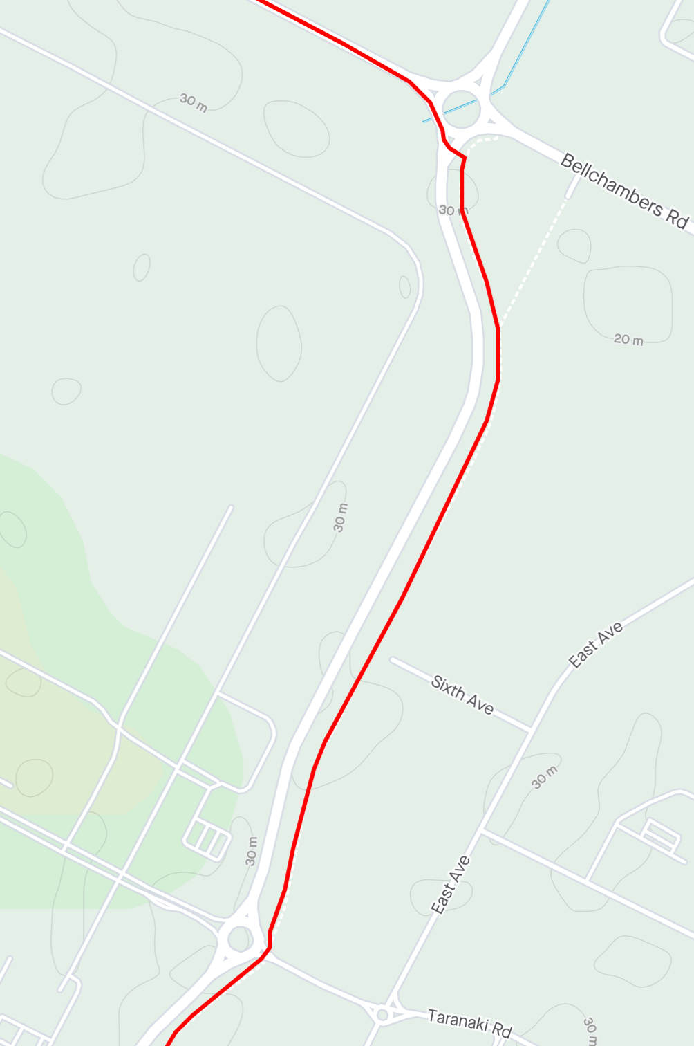
Crossing before the Bellchambers Road roundabout
Andrews Road
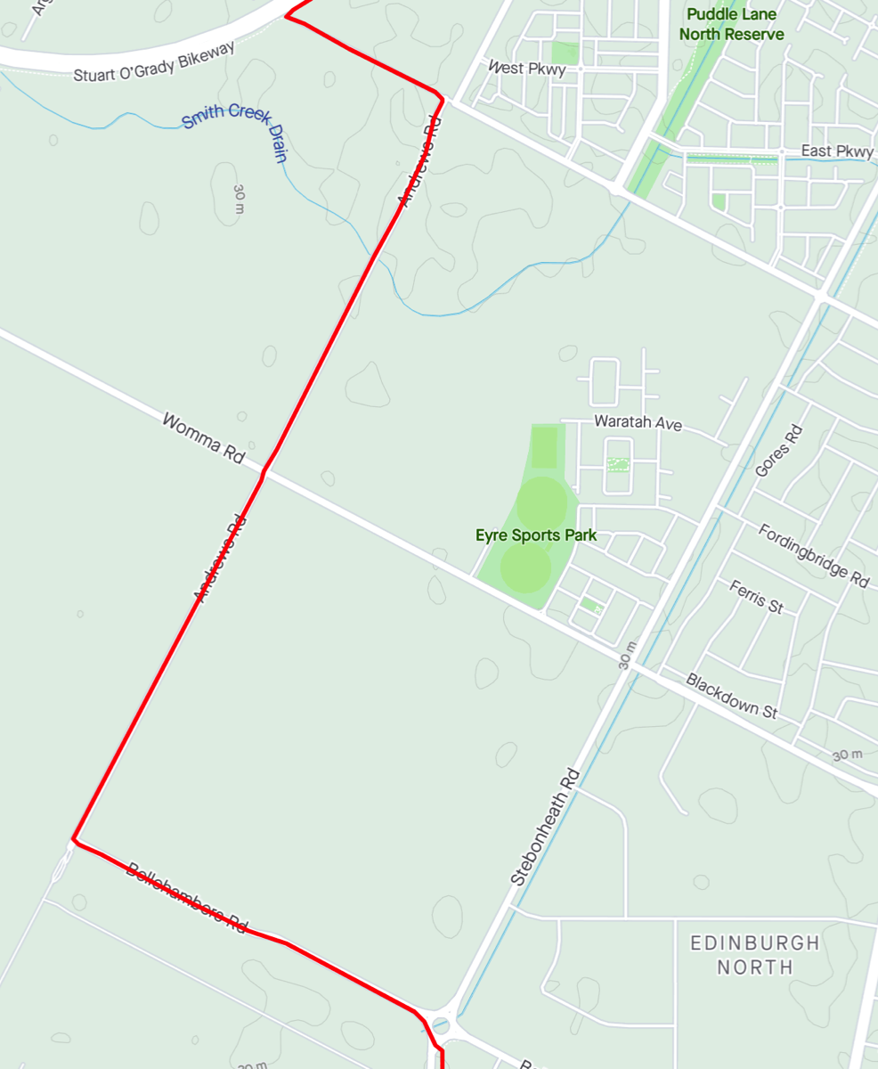
If you take Bellchambers Road you ride up beside the RAAF base and then turn right into Andrews Road (the RAAF base's northern gate is to the left so there is no option). Continuing along you reach Womma Road. After crossing Womma it's just a straight run to the end. Vehicles will dogleg to the right and continue along Andrews Road but turn left and pass through the gate.If you chose Stebonheath Road you continue straight to the Womma Road roundabout and continue straight on. At the Eyre shopping centre you turn left onto Petherton Road and continue to the end.
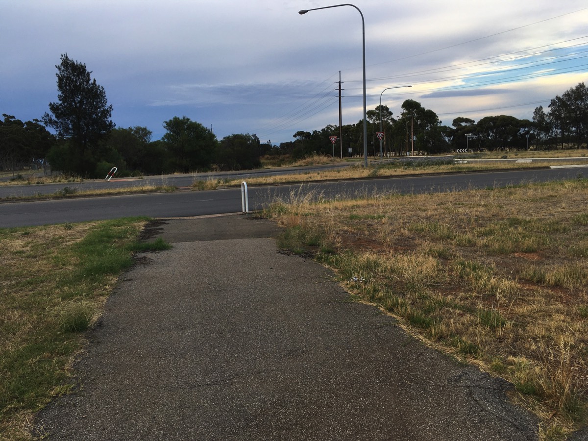
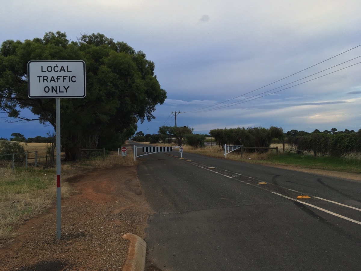
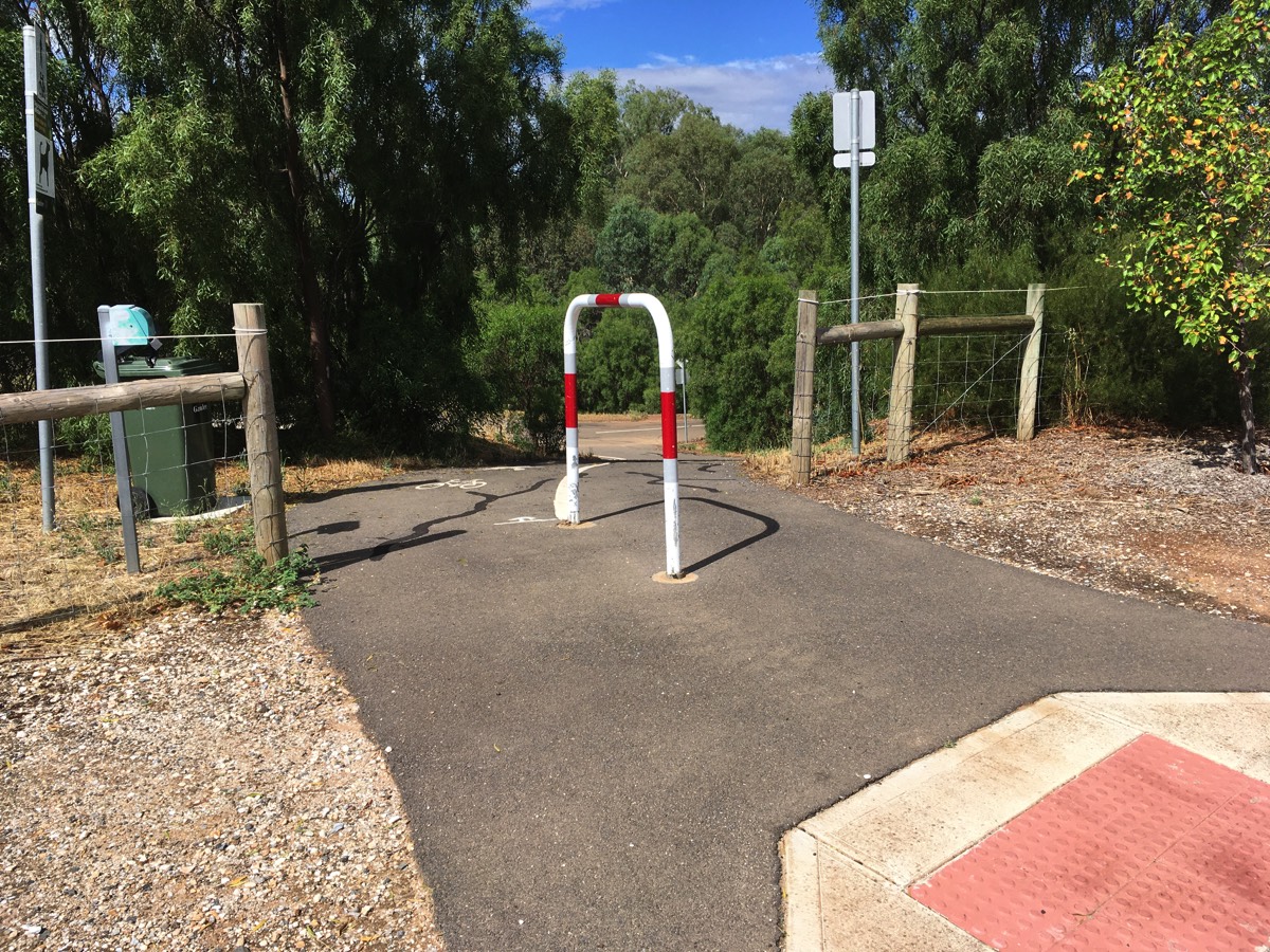
The "no entry" signs are a bit rude as it was a public road before the Northern Expressway cut it in half. In any case there is an open gate at the end which will take you onto the Stuart O'Grady Bikeway (and unlike other pedestrian access gates along the bikeway the actual gate has been removed here so it's clearly a popular access point).
Turn right here and head towards Curtis Road.
Petherton Road
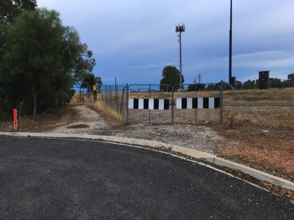
The gate.
Council recently pruned the trees on the left when I asked so it's clearly a council road.
Diversion for water (if required)
There are no water fountains on the SOB but there are a couple close to the closed section of Petherton Road.
If you have come down Andrews Road then rather than turning left through the "local traffic only" gate dog leg the intersection and continue down Andrews Road and then take the third right onto Mayfair Drive. There is a small park, a children's ride safe park and the fountain is on the left, down Concord Way.
If you rode up Petherton Road then turn right into President Avenue at the roundabout and follow it until the next roundabout and turn left into Mayfair Drive.
Return to Andrews Road and either back track to Petherton Road or continue further down Andrews Road and turn left at Curtis Road.
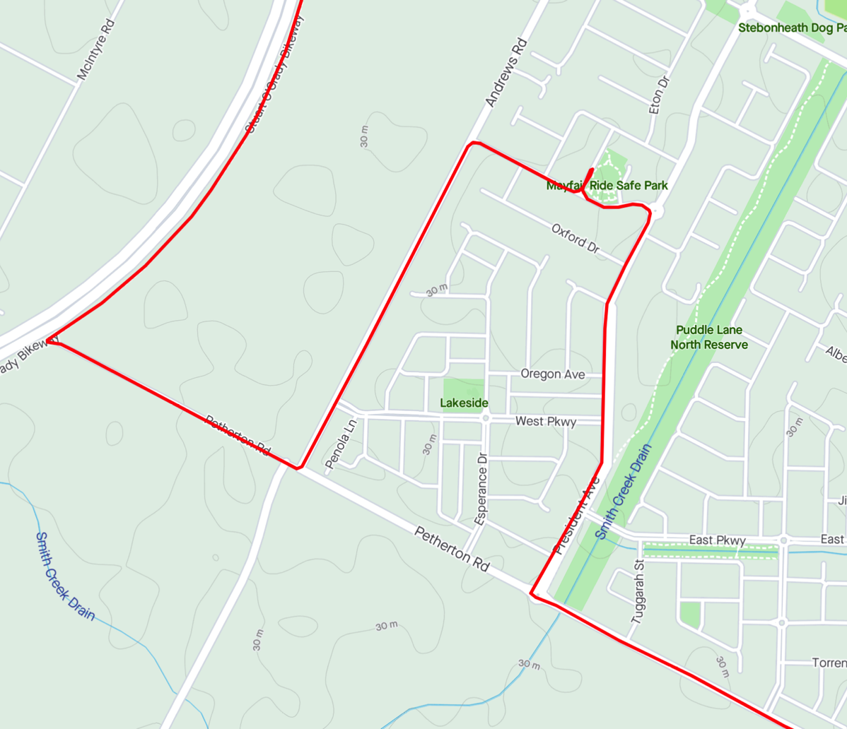
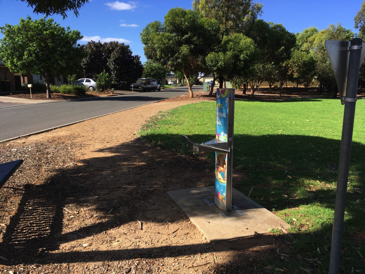
Water fountain on the edge of the park
Curtis Road
Crossing Curtis Road can be very frustrating due to the amount of traffic coming across the bridge, either from the Northern Expressway or the Bunnings store. Just be patient there will be gap in the traffic eventually.

SOB to the left, Curtis Road to the right
Waiting to sprint
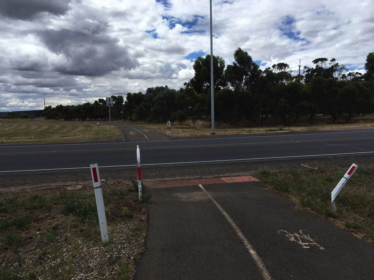
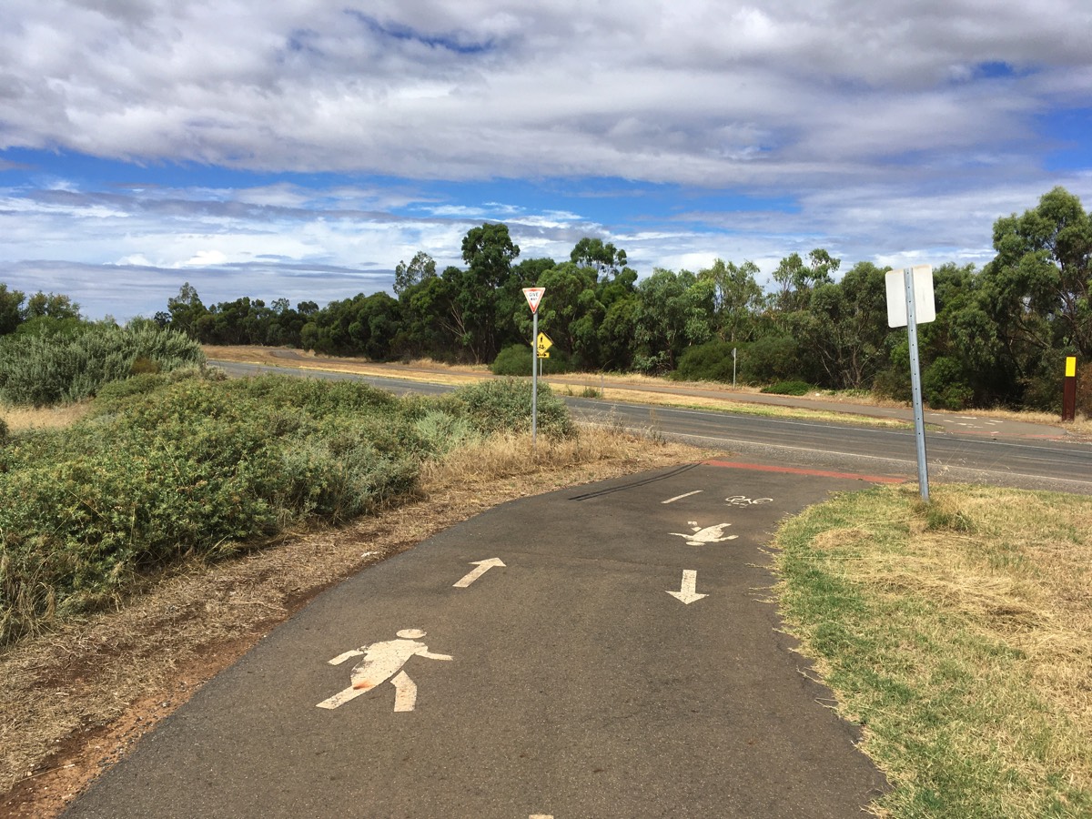
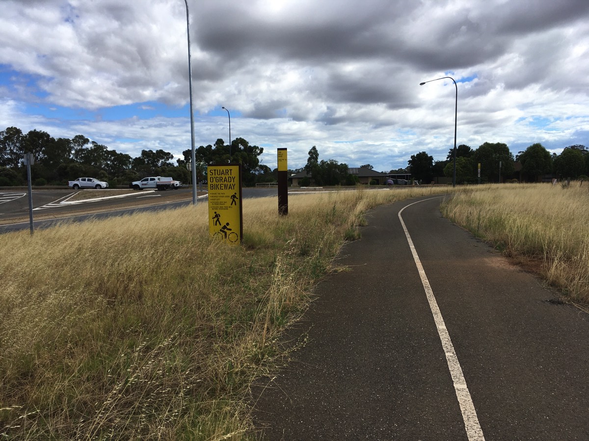
Angle Vale Road
You have now covered 36 kms.
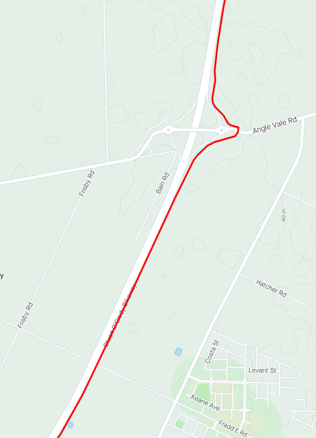
Gawler River
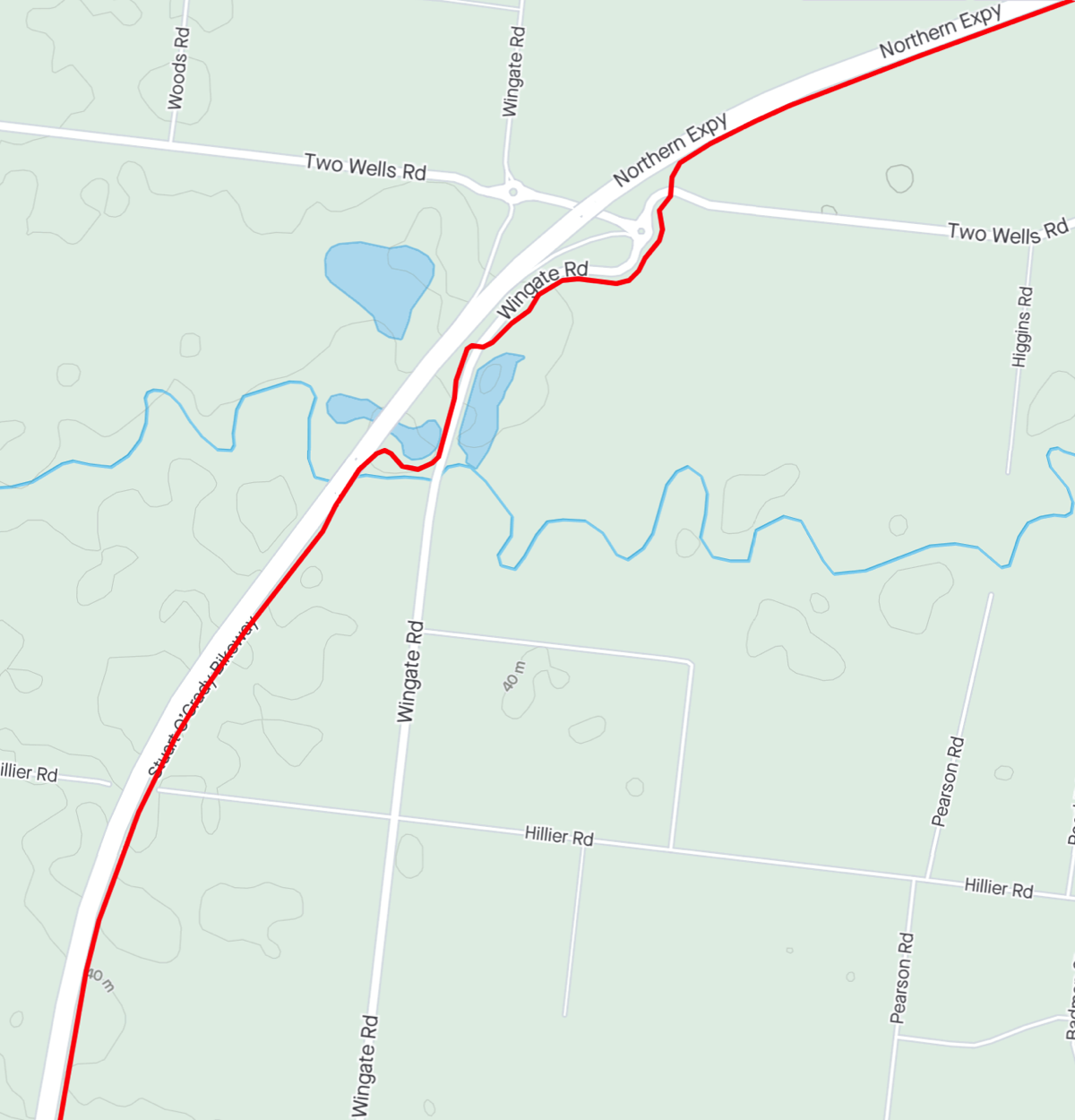
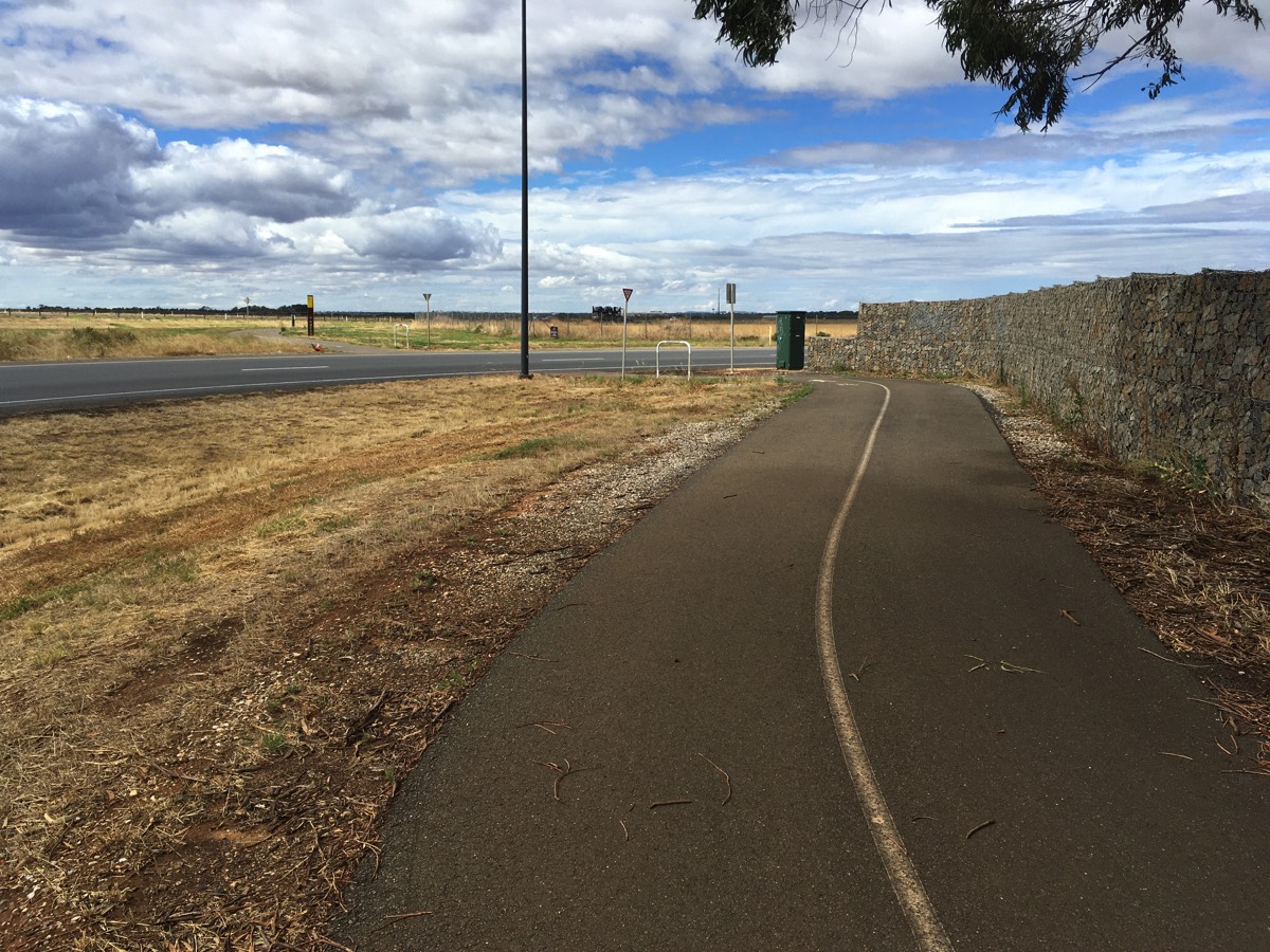
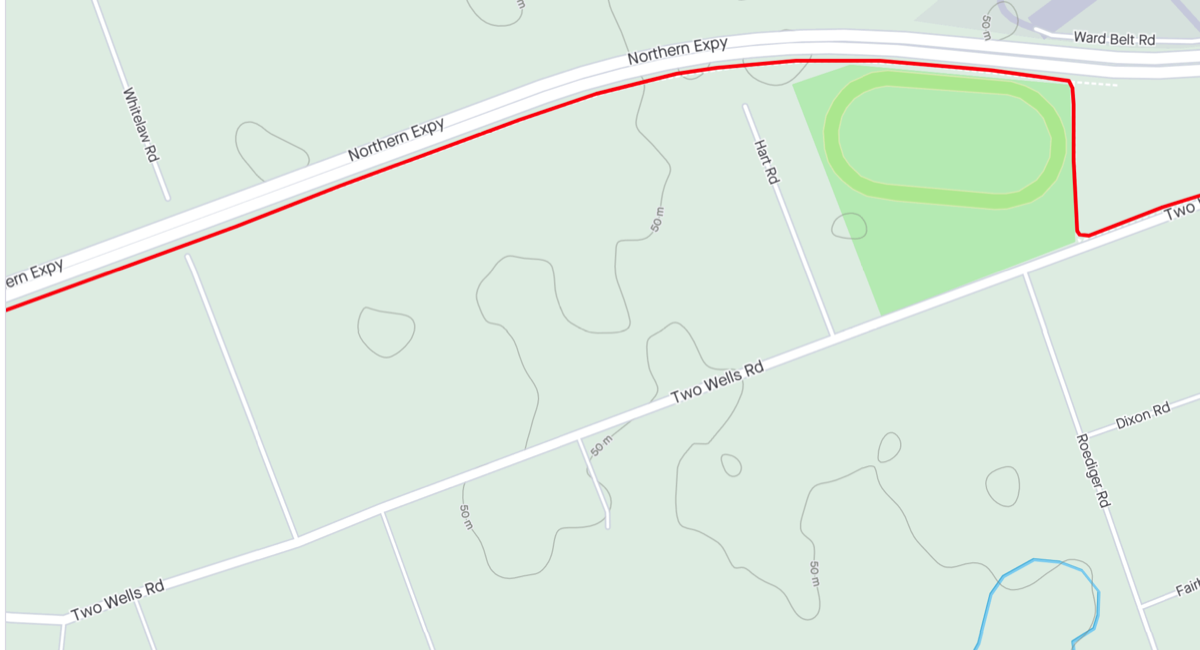
Continuing towards the Gawler River. After the bikeway crosses the bridge it takes a couple of turns down to run parallel to Wingate Road.There is a lot of shrubbery through this section that impacts on sight lines. Be careful of cyclists coming in the opposite direction who might have drifted across the "centreline".
The two road crossings, Wingate Road and Two Wells Road, have obstructed visibility. In Wingate Road's case it is again shrubs, while the property next to the Two Wells Road crossing has a high stone wall which limits visibility down Two Wells Road until you are right at the road.
You could continue on Two Wells Road from here but you've come this far on the bikeway so why not do the full Strava segment?
Crossed the bridge
Shelter but no water
Wingate Road is on a floodway so it has gates and the path bollards to stop vehicles if the gates are shut (the path itself doesn't go over the floodway).
Wingate road
Approaching Two Wells Road
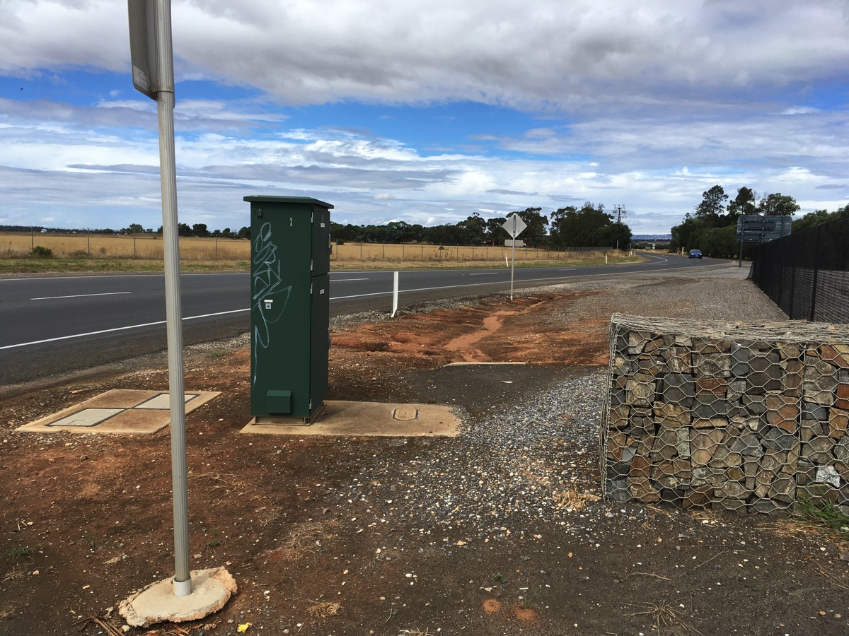
Looking right at Two Wells Road
The trotting track
Originally the Stuart O'Grady Bikeway continued straight rather than take a right hand turn next to the trotting track. Some of the path still exists but I don't think it has an open exit point any more.
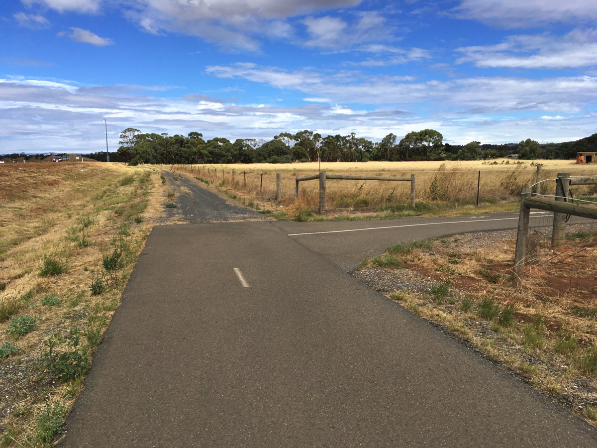
Right hand turn here
End of the Stuart O'Grady Bikeway
The bikeway runs alongside Two Wells Road and ends at the slip road onto the Gawler Bypass.
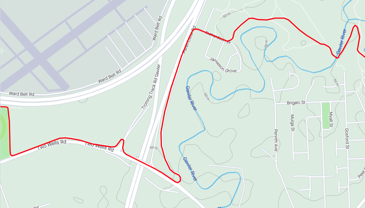
Return to Two Wells Road and cross over the bridge and go past the other slip road before turning up Paternoster Road. For what they are worth it is marked with "sharrows". Turning down Richardson Drive there is a sealed path off to the left (after an unsealed one). The path drops away from the U bar (would be steep for a pram). Follow the path to the left and then keep to right until the bridge over Gawler River next to the railway line.
Once you reach the end of the Stuart O'Grady Bikeway you have covered approximately 43.5 kms, only four more to go.
Northern end of the Stuart O'Grady Bikeway
Path has two steep drops
(one after the path to the right)
Into Gawler
Cross the bridge and turn left and head under an old freight railway line, and then pass under the Gawler passenger railway line. Turn right after the Gawler railway bridge and continue to follow the sealed path along the river. There are two very narrow pedestrian bridges that cross the river closer to the town centre so bicycles are pretty much forced onto the road if you want to head back to the railway station. The council wants to replace the one near the end point of my ride but hasn't got any funding to do it yet.
Path leading to the bridge
Cross the bridge and turn left
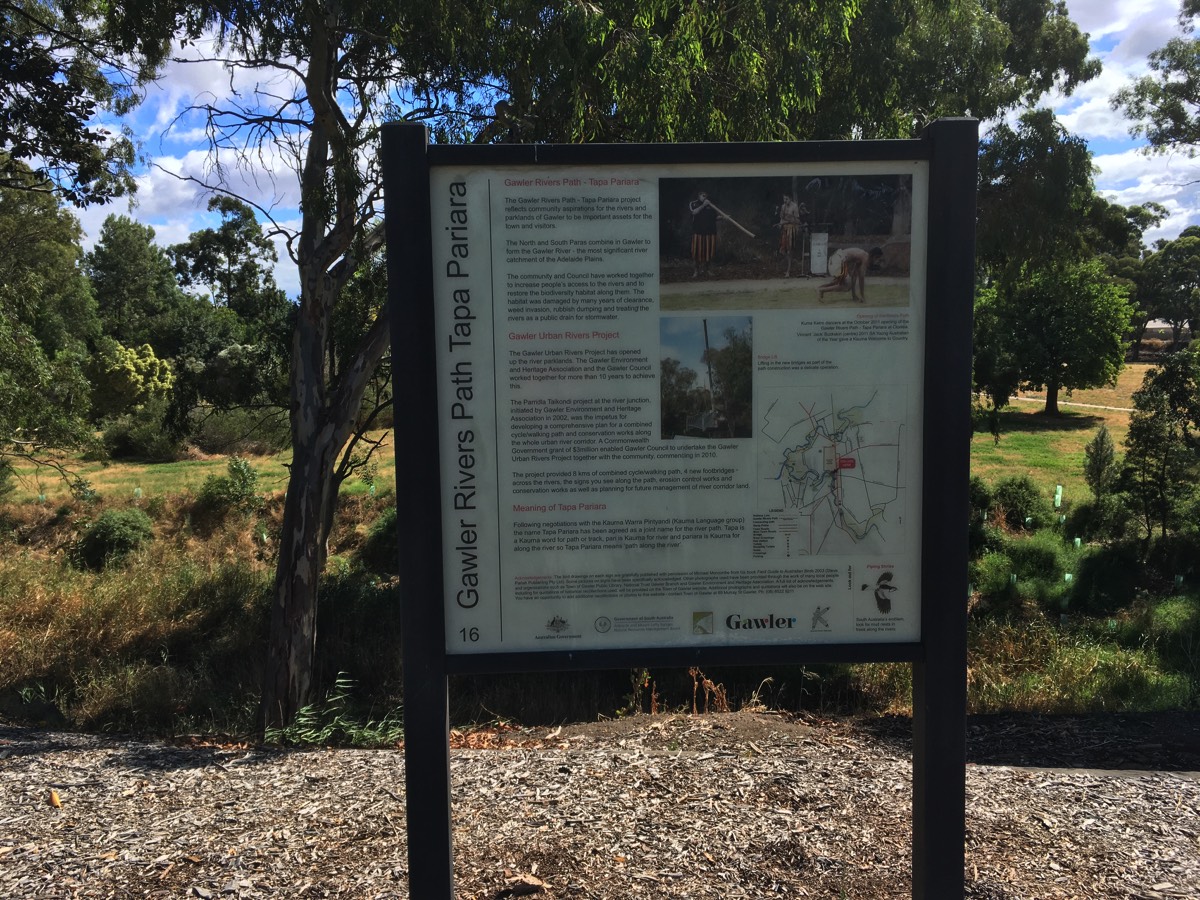
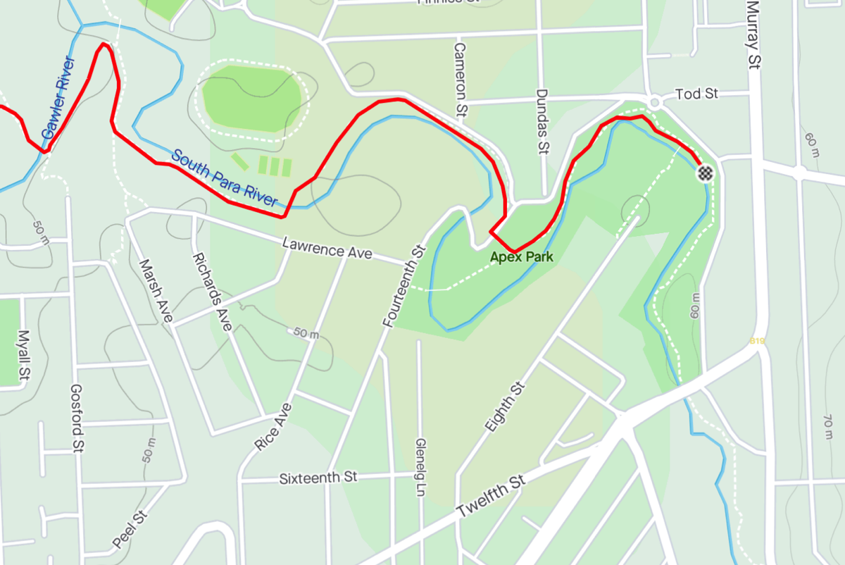
Gawler
The paths following the river are named "Tapa Pariara" (path along the river in Kaurna).
You're now in Gawler after riding about 47.6 kms. It's probably time for a beverage or two.