
Salt Pan Junction to Boat Deck Cafe (Mawson Lakes)
via Northern Connector, Gawler Greenway and Salisbury Highway
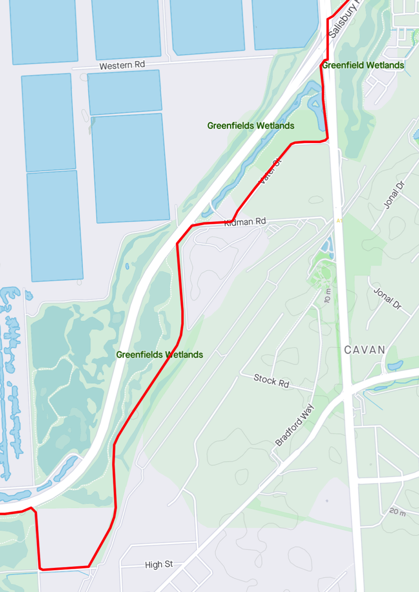
This route needs work. In theory the Gawler Greenway should provide a route but it's incomplete and so you need to close the gap by travelling up Salisbury Highway. The reverse path is different since you cannot get from Salisbury Highway to the island under the bridge so you are forced to ride over the bridge.Total distance 9.89km.

Northern Connector Bikeway
Not really sure what this path is called, on Magazine Road there are signs mentioning the Northern Connector Bikeway but at Salt Pan Junction there is only Tapa Martinthi Yala signs. Anyway there is a sign pointing towards the City and that's the path to take.
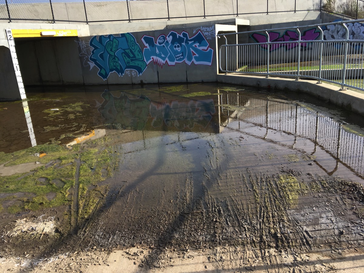
This was clearly an access road when the built the expressway but it's fine except for the corner at the end which is a very sharp right turn onto a small bridge that hasn't been sealed for "reasons". Continue along the path and admire the wetlands before reaching the culvert under Salisbury Highway. Often this has a layer of green algae. The right hand tunnel is the through tunnel (the left one doesn't exit).
Once through the path has a left turn towards South Road but go straight ahead along side the wetlands.
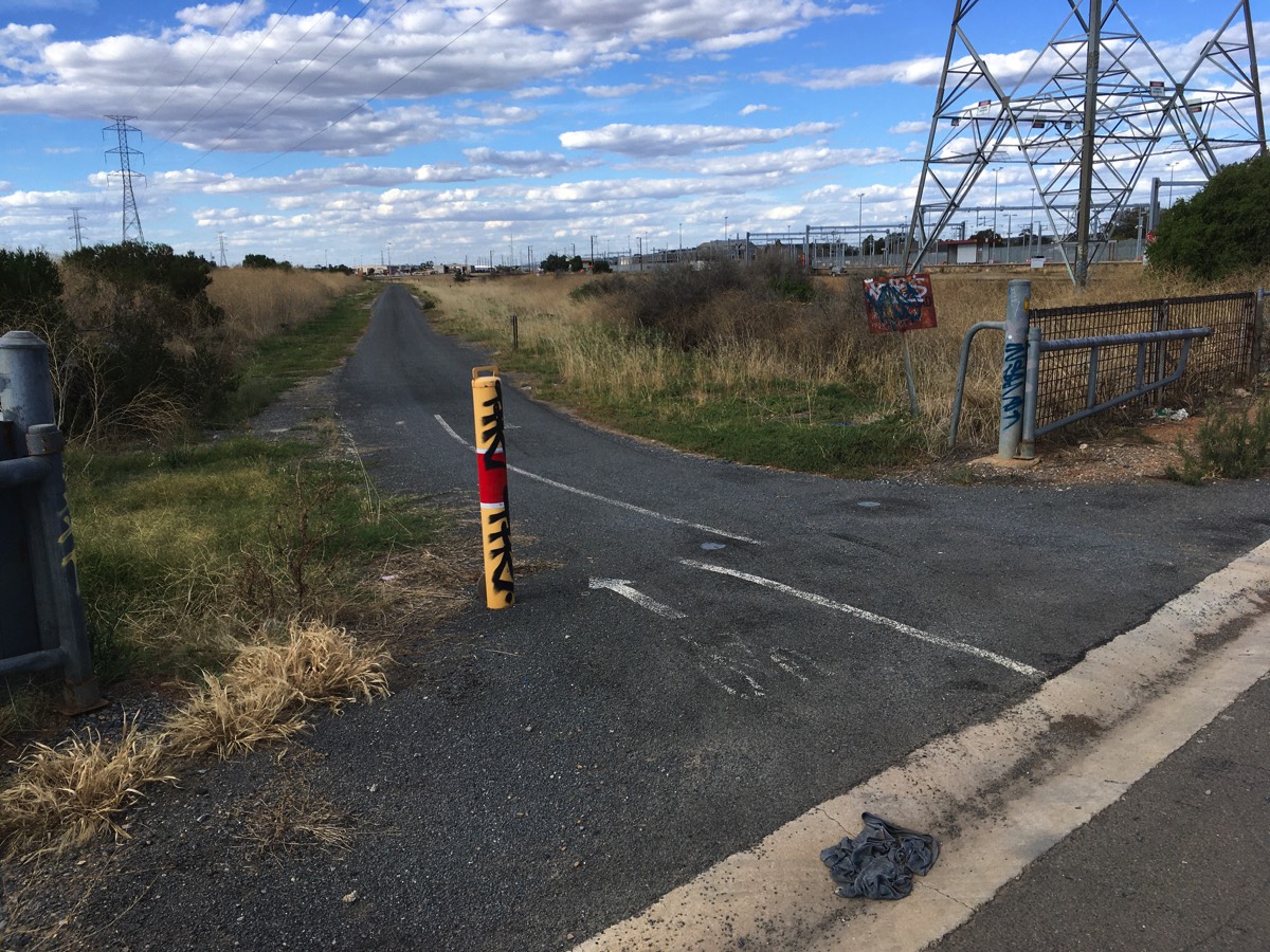
The path will bend around to the right and exit onto Magazine Road. There is a dirt/gravel path through the wetlands that you can take if you go straight


Towards the City

Bridge with no tarmac
Just a thin layer of muck
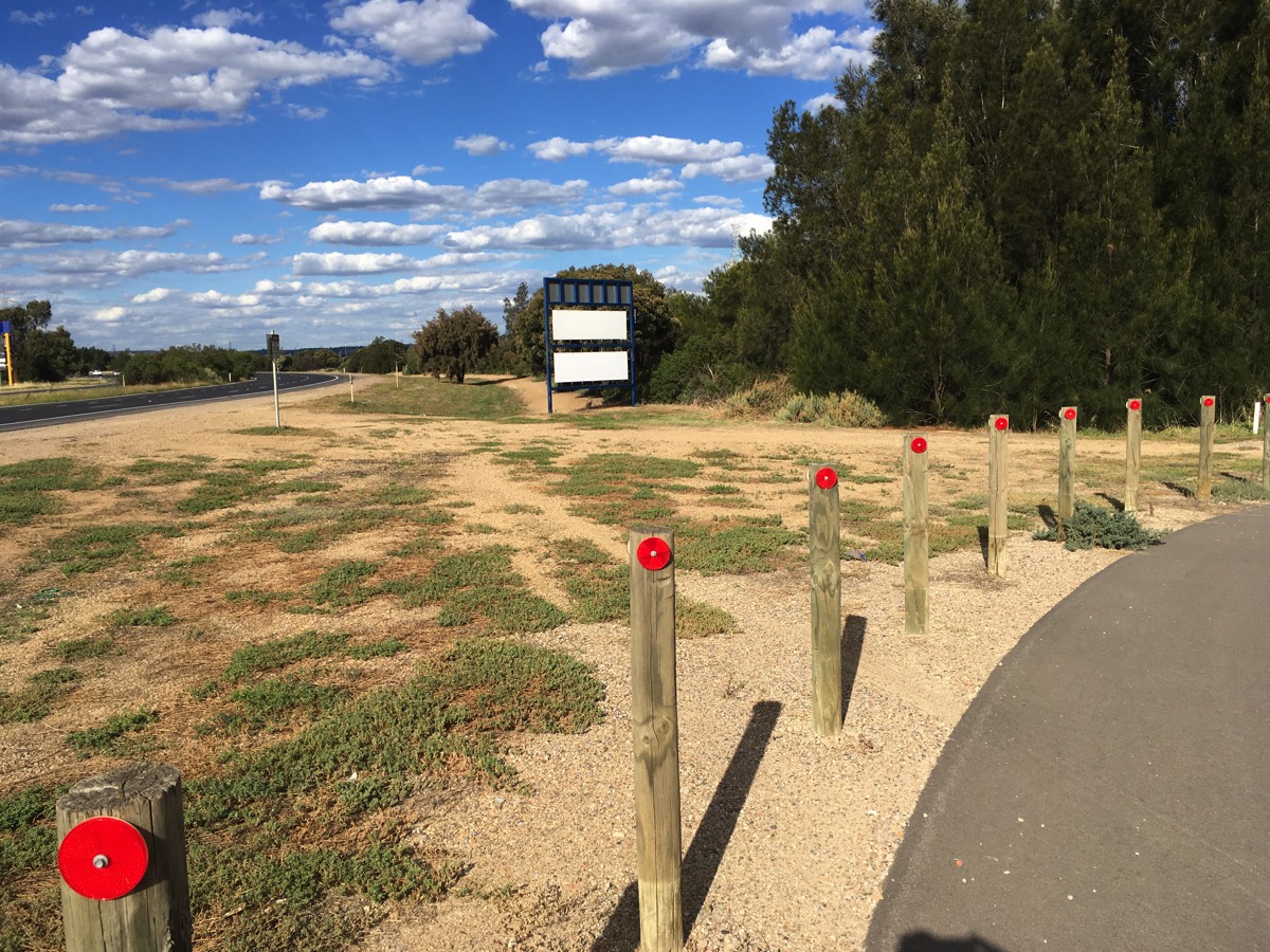
A path behind the sign that cuts through the wetlands
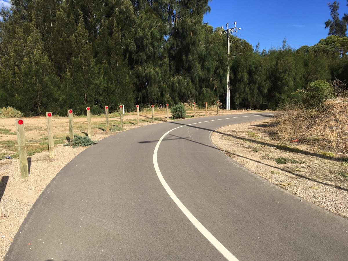
Follow the path out the gate
Gawler Greenway
Head down Magazine Road and turn left onto Henschke Road. This is part of the Gawler Greenway. Dry Creek railway station is at the end of Henschke Road but it's not possible to reach it from this side.
Turn left onto the shared path which will take you back towards Salisbury Highway. A short path will take you to Kidman Road, turn onto it and go around the service station and head down Vater Street.
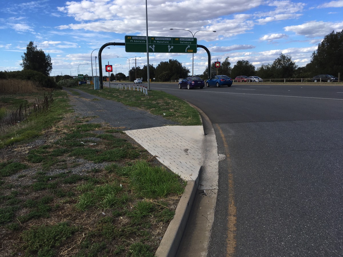
Before reaching Port Wakefield Road there is a path that will take you up to a crossing of the northern lanes onto the island under the bridge.
Gawler Greenway
Path alongside Port Wakefield Road
Crossing Port Wakefield Road
Yes this is the "path"
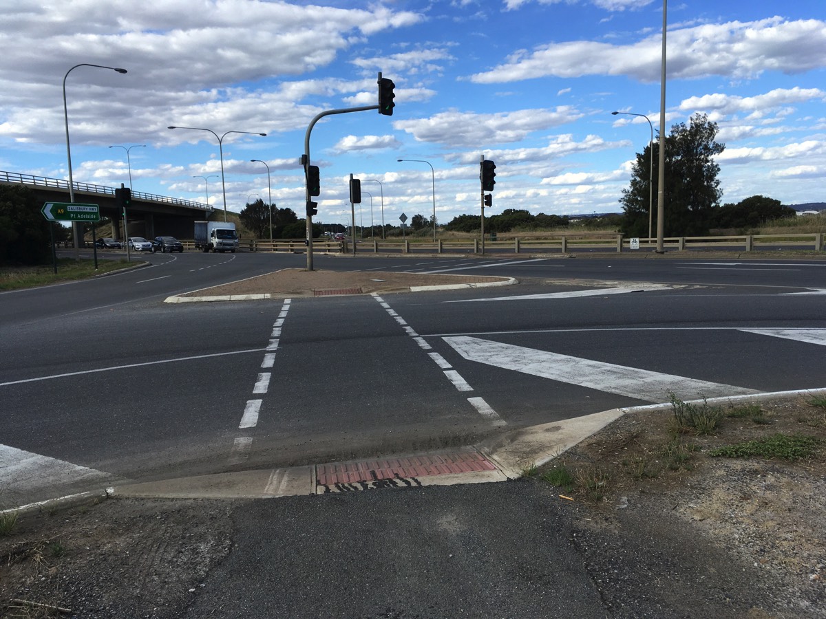
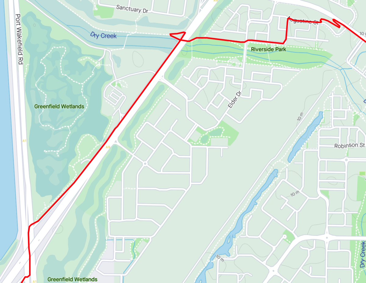
Salisbury Highway
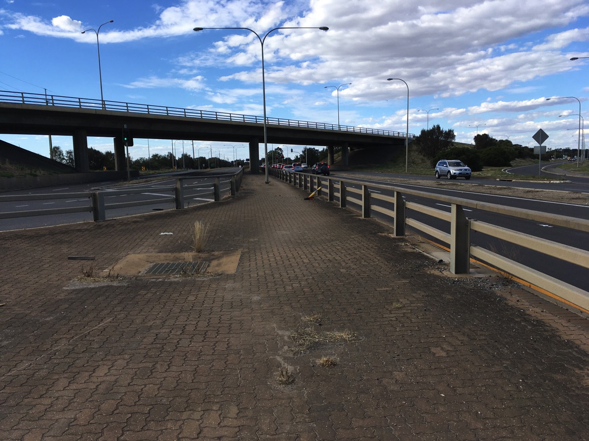
No other option but to ride down Salisbury Highway. It is easiest to exit to the left after the bridge over Dry Creek and use the Dry Creek Trail to head towards the bridge over the railway line. The Dry Creek Trail exists on both sides of the creek. The northern side needs some TLC with gravel over an old tarmac surface (the southern side also suffers from this problem but to a lesser degree). If you don't continue on the path and pass under Elder Drive bridge the side streets are relatively quiet. On Augustine Street there is a pedestrian crossing that leads to a ramp up to the Elder Smith Road bridge, and a shared path will take you across the bridge (beware of people emerging from the station lift foyers).
Main Street
Rather than take the ramp off the bridge continue down the path and exit onto Middle Row and then turn left onto Metro Parade. If you continue to Main Street visibility for the right turn is not great.
Using the Dry Creek Trail or Garden Terrace are better options than Main Street.
